
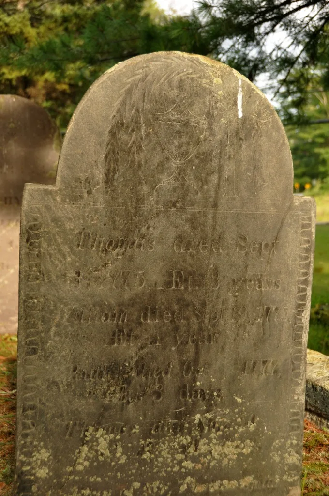
Hillside Cemetery in Westford, Massachusetts
- Land Use
- cemetery
Image
Restaurants
Fast food restaurants
Kindergartens
Fire stations
Places of worship
Gas stations
Convenience stores
Attractions
Police stations
Parking lots
Tourist information centers
Auto repair shops
Funeral homes
Museums
- Westford Museum (Web) at Boston Road (01886) – approx. 1.9 mi.
Streets nearby
Nutting RoadWestford Tire & Auto
100 ft
Depot Street500 ft
Blue Heron Drive500 ft
Timberlee Lane0.2 mi
Gooseneck Lane0.2 mi
Lady Constance Way0.2 mi
Riley Road0.2 mi
Nutting TrailLakside Trailhead Parking
0.3 mi
Submerged granite bridge0.3 mi
Wendell Place0.3 mi
Shipley Circle0.3 mi
Jelley Road0.3 mi
Shipwood Trail0.3 mi
Nashoba Trail (orange)0.3 mi
Trolley Line Trail0.4 mi
Burge's Pond Trail (yellow)0.4 mi
Nutting Lane0.4 mi
Eagles Nest Road0.4 mi
Ceilo Trail (brown-yellow)0.4 mi
Rose Lane0.4 mi
Fawn Road0.5 mi
Dunstable Road0.5 mi
Cherry Lane0.5 mi
Grassy Pond Lifecourse0.5 mi
Ice House Road (red)0.6 mi
Holly Lane0.6 mi
Captain William O'Donnell Trail (white)0.6 mi
Nelson Trail (green-yellow)0.6 mi
Blakie Trail (grey-blue)0.6 mi
George S Fletcher Trail (green-orange)0.6 mi
Genie Trail (yellow-blue)0.7 mi
Stony Brook Trail (grey)Kiosk
0.7 mi
Groton RoadUnited Fuels, Towne Convenience, Mario's, Dunkin', Basinas Square
0.7 mi
Waki Trail (green)0.7 mi
Oakmont Drive0.7 mi
Farmer's Way0.7 mi
Old Trolley Line0.7 mi
Keyes RoadSlifer Trailhead parking
0.8 mi
Overlook Trail0.8 mi
Clinics nearby
First Aide0.4 mi
Nature reserves nearby
Veterans' Memorial Complex Land0.8 mi
Stepinksi Parcel0.8 mi
Railways nearby
Portland Subdivision0.8 mi
Rivers nearby
Keyes Brook0.3 mi
Stony Brook0.7 mi
Sports fields nearby
Westford Community Field0.2 mi
Waters nearby
Grassy Pond0.5 mi
Burge's Pond0.5 mi
Watershed protection areas nearby
Depot Well0.3 mi
| Heritage designation | National Register of Historic Places listed place |
|---|---|
| Located in | Westford |
| Country | United States |
 Public transit map Westford Legend
| Railway | |
| Bus | |
| Streetcar |
 Bicycle map Westford Legend
| Bike path | |
| Bike lane on roadway | |
| Cycling allowed on bus lane | |
| Bicycle street | |
| Open to cyclists | |
| Open to cyclists, good path | |
| Cycling prohibited | |
| Cobblestone |
| Long-distance bike route | (depending on scale) | |
| Long-distance bike route |
 Pedestrian map Westford Legend
| Path |
| Long-distance hiking trail | (depending on scale) | |
| Long-distance hiking trail | ||
| Pedestrians prohibited |