
Image
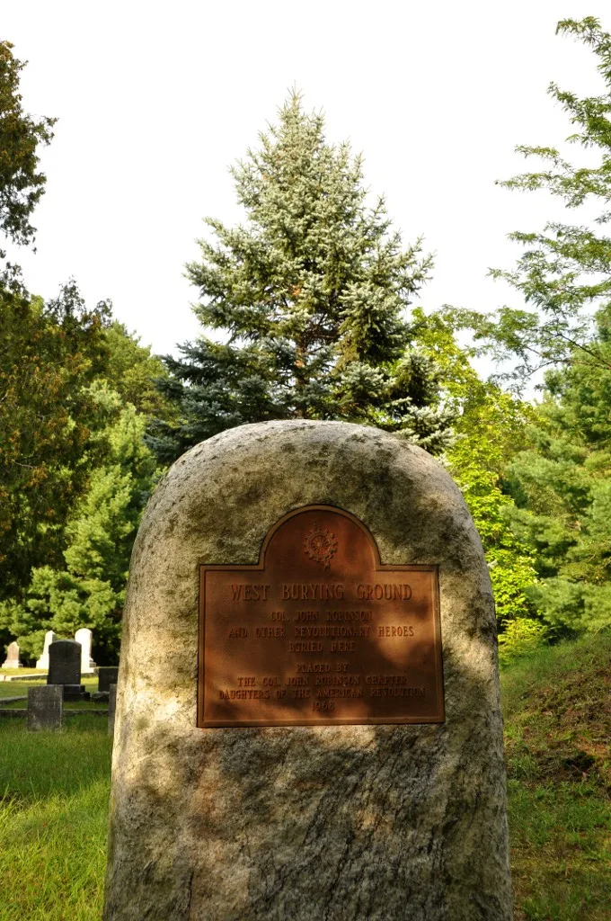
Kindergartens
Places of worship
Dry cleaners
Car rentals
Bus stops
Fast food restaurants
Animal shelters
Parking lots
Charging stations
Paint stores
Funeral homes
Banks
Convenience stores
Restaurants
Fire stations
Hair salons
Gift shops
Museums
- Westford Museum (Web) at Boston Road (01886) – approx. 1.6 mi.
Police stations
Opticians
Streets nearby
Rush Road0.1 mi
Robinson Athletic Field Path0.1 mi
Windsor Way0.2 mi
Buckingham DriveBeaver Brook Trailhead Parking
0.2 mi
stone wall trail0.3 mi
Red Line Path0.3 mi
Heritage Way0.4 mi
Country Road0.4 mi
Robinson Road0.4 mi
Hutchins Way0.5 mi
Southwick CircleBeaver Brook Trailhead Parking
0.5 mi
Little Woods0.5 mi
Conservation Lane0.5 mi
Concord RoadEast Littleton, Parkerville, Emmet Woods Trailhead Parking, Shoulder Parking Space
0.5 mi
Hartford Road0.5 mi
Patten Road0.6 mi
Howard Road0.6 mi
Christopher Road0.6 mi
Cutter Lane0.6 mi
Sand Beach Road0.6 mi
Rooks Way0.6 mi
Humiston Circle0.6 mi
Pine Grove Road0.6 mi
Pleasant StreetForge Village
0.6 mi
Pinegrove Road0.7 mi
Oakdale Road0.7 mi
Beaver Brook Road0.7 mi
Brian Drive0.7 mi
Webber Road0.7 mi
Magnolia Drive0.7 mi
Old Beaver Brook Road0.7 mi
True Bean Way0.7 mi
Woodland Drive0.8 mi
Butterfield Lane0.8 mi
Torrey Terrace0.8 mi
Abandoned railways nearby
Nashua Acton & Boston Railroad350 ft
Cemeteries nearby
Russian Brotherhood Cemetery0.6 mi
Pine Grove Cemetery0.7 mi
Forests nearby
Water Dept Land0.6 mi
Nature reserves nearby
Nashoba Farms0.3 mi
April Woods0.7 mi
Macquarrie Parcel0.7 mi
Rivers nearby
Beaver Brook0.8 mi
School buildings nearby
Col. John Robinson School550 ft
John A. Crisafulli Elementary School0.4 mi
Sports fields nearby
Westford Academy0.4 mi
Streams nearby
Boutwell Brook0.3 mi
Watershed protection areas nearby
Country Road Pumping Station0.4 mi
Other nearby
Westford Substation0.4 mi
| Year built | 1760 |
|---|---|
| Heritage designation | National Register of Historic Places listed place |
| Located in | Westford |
| Country | United States |
 Public transit map Westford Legend
| Railway | |
| Bus | |
| Streetcar |
 Bicycle map Westford Legend
| Bike path | |
| Bike lane on roadway | |
| Cycling allowed on bus lane | |
| Bicycle street | |
| Open to cyclists | |
| Open to cyclists, good path | |
| Cycling prohibited | |
| Cobblestone |
| Long-distance bike route | (depending on scale) | |
| Long-distance bike route |
 Pedestrian map Westford Legend
| Path |
| Long-distance hiking trail | (depending on scale) | |
| Long-distance hiking trail | ||
| Pedestrians prohibited |