
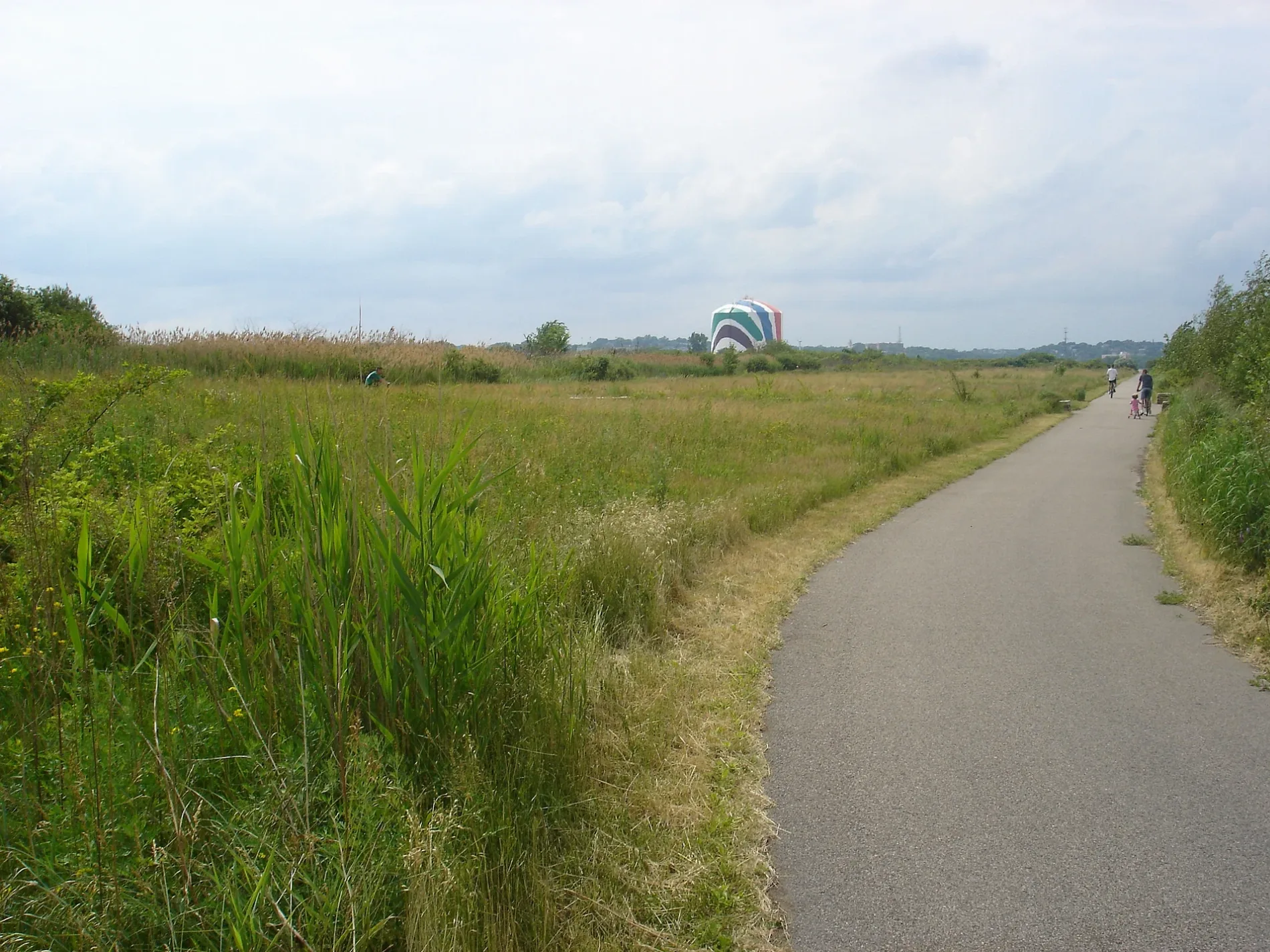
Squantum Point Park in Quincy, Massachusetts
Squantum Point Park in Quincy is a park (Dcr - Division Of Urban Parks And Recreation) 🌐. Squantum Point Park is located near Southeast Expressway. Ⓦ.
- Leisure
- park
- Website
- https://www.mass.gov/locations/squantum-point-park
Image
Stations
Convenience stores
Restaurants
Social facilities
Bus stops
Tourist information centers
Fast food restaurants
Pubs
Artworks
Streets nearby
Southeast ExpresswayStar Market Pharmacy, JFK/UMass, Savin Hill, Staples
0.4 mi
Victory RoadVictory Rd @ Puritan Mall Driveway
0.5 mi
Freeport StreetFreeport St @ Morrisey Blvd, High Profile X Budega of Boston Dispensary
0.5 mi
Southeast Expressway HOV Lane0.5 mi
Boston HarborWalkSouth Boston: Harbor of Shame No More, Harbor Vessels, Massachusetts Saltwater Fish, Meritage and Rowes Wharf Sea Grille, Untitled Landscape, Long Wharf (South) Ferry Terminal, Ben & Jerry, New England Aquarium Whale Watching, Central Wharf Ferry Terminal, Whale Watch Ticket Booth, Boston Duck Tours Ticket Booth, Dockside Beer Garden at Central Wharf, Central Snack Bar, Harborview Cafe, Rowes Wharf Ferry Terminal, Fan Pier Ferry Terminal, Gate 4, 75 on Liberty Wharf, Legal Harborside, Tony G's, Pope John Paul II Park, JFK Library Cafeteria, Sunflowers for Vincent, Boston Fire Department Marine Unit, Café Amalfi, Boston Tea Party - Ships and Museum, World Trade Center (West) Ferry Terminal, United Way of Massachusetts Bay, World Trade Center (East) Ferry Terminal, EDIC Pier, Courthouse Dock, Salon Mirabella, Yankee Lobster Eatery, The Barking Crab, Lookout Rooftop & Bar, E 1st St @ P St, E 1st St opp O St, Pilot House Parking, Battery Wharf, Maritime Museum at Battery Wharf, Battery Wharf Grille, Logan Airport Ferry Terminal, Massachusetts Port Authority (Massport), Independence Wharf, Tea By The Sea, Summer St @ E 1st St, 776 Summer St opp Powerhouse St, Savr, Boston Harbor Cruise, Bier Bar, The Landing at Long Wharf, Bon Me, CVS Pharmacy, Kappy's Wine & Spirits, ABM Marine Park Garage, CycleWash, Long Wharf (North) Ferry Terminal, Trade By Sea, Harborwalk Lookout, ReelHouse Oyster Bar
0.5 mi
Commander Shea Boulevard0.5 mi
Bernice Street0.5 mi
William T. Morrissey BoulevardPuritan Mall Service Rd, Neponset Circle @ Neponset Ave, Blue Bikes - JFK / UMASS Station, Lambert's, Santander, Neponset Circle @ Walnut St
0.5 mi
MWRA Haul Road0.5 mi
Blanche Street0.6 mi
Conley Street0.6 mi
Green Hill Street0.6 mi
Marina Drive0.6 mi
Everdean Street0.6 mi
Tenean StreetDeadwood Cafe
0.6 mi
Tilden Commons Drive0.6 mi
Ericsson Street0.6 mi
Boston Harbor Walk and Neponset River Greenway0.6 mi
Tilden Circle0.6 mi
Worrell Street0.7 mi
Norwood Street0.7 mi
Shops nearby
Floor & Decor0.6 mi
Apartment buildings nearby
Imprint0.5 mi
Bowling alleys nearby
Boston Bowl0.5 mi
Buildings nearby
Rainbow Swash0.3 mi
Vietnam Veterans Memorial Clocktower0.5 mi
Boston Harbor Distillery0.6 mi
Boston Winery0.6 mi
Boston Scientific0.7 mi
Buildings under construction nearby
900 Morrissey Boulevard0.7 mi
Car dealerships nearby
Expressway Toyota0.5 mi
Herb Chambers Honda of Boston0.5 mi
Chocolate shops nearby
Phillips Chocolate0.6 mi
Convenience stores nearby
7-Eleven0.5 mi
Citgo0.6 mi
Drugstores nearby
CVS Pharmacy0.5 mi
Fast food restaurants nearby
Dunkin'0.6 mi
Subway0.6 mi
Liquor stores nearby
Morrissey Boulevard Wines & Liquors0.6 mi
Mail depots nearby
FedEx Ground0.5 mi
Marinas nearby
Marina Bay0.6 mi
Parks nearby
Quincy Navy Park at Squantum0.6 mi
Railways nearby
Middleborough Main Line0.6 mi
Restaurants nearby
Venezia0.5 mi
Port 305 Bar & Restaurant0.6 mi
Siros Restaurant0.6 mi
Ruins nearby
Pope's Hill Station foundation0.6 mi
School buildings nearby
Richard J. Murphy School0.6 mi
Subway lines nearby
Red Line - Braintree Branch0.6 mi
| Located in | Massachusetts |
|---|---|
| Country | United States |
| Location | Quincy |
 Public transit map Quincy Legend
| Railway | |
| Bus | |
| Streetcar |
 Bicycle map Quincy Legend
| Bike path | |
| Bike lane on roadway | |
| Cycling allowed on bus lane | |
| Bicycle street | |
| Open to cyclists | |
| Open to cyclists, good path | |
| Cycling prohibited | |
| Cobblestone |
| Long-distance bike route | (depending on scale) | |
| Long-distance bike route |
 Pedestrian map Quincy Legend
| Path |
| Long-distance hiking trail | (depending on scale) | |
| Long-distance hiking trail | ||
| Pedestrians prohibited |