
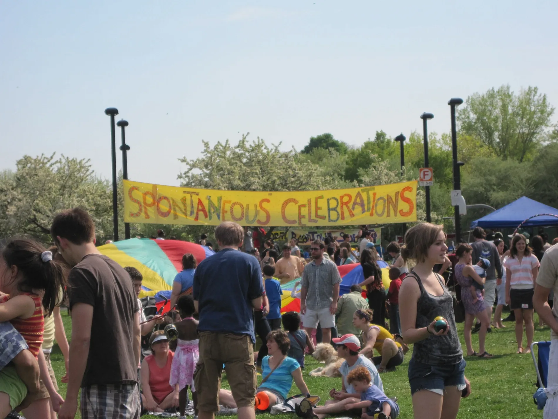
Spontaneous Celebrations in Boston
Spontaneous Celebrations in Boston is a building, Danforth Street 45 (02130). Ⓦ.
- House Number
- 45
- Postal Code
- 02130
- Street
- Danforth Street
- Building Type
- building
Image
Car sharing stations
Convenience stores
Stations
Social facilities
Schools
Bus stops
Bike shops
Attractions
Places of worship
Restaurants
Subway stops
Bike rentals
Cafes
Bars
Streets nearby
Danforth Street150 ft
Roslyn Place200 ft
Boylston StreetCity Feed and Supply, Downtown Convinience, Zesto's Pizza and Grille, Emerson College Library, Emerson Colonial Theatre, Emerson College, Barnes & Noble, Shaking Crab, St. John, Anne Fontaine, Hermès, Audemars Piguet, Bottega Veneta, Bistro du Midi, Stony Brook, Stony Brook - Inbound, Zipcar, Bluebikes - Stony Brook T Stop, Boylston St @ Jersey St, SOJUba, Honeygrow, Guitar Center, Blaze Pizza, Psychiatry Neuroimaging Laboratory, Bluebikes, Max Brenner, Verizon, Sólás Irish Pub, Dunkin', Tesla Destination Charger, PNC Bank, Copley Crossover, Basho, Pavement Coffeehouse, Regina Pizzeria, Lee & Alma Berk Recital Hall, Oliver Colvin Recital Hall, Boylston St @ Clarendon St, ETHIC Wealth Bank, The Tortoise and the Hare, GNC, Yamato II, John Singleton Copley, Smashburger, New Balance, H&M, Modell's Sporting Goods, Bank of America, Nordstrom Rack, WebsterBank, Talbots, Boston Private Bank & Trust Co., Trader Joe's, Marathon Sports, CAVA, WGBH, Boston Marathon Finish Line, Copley Junction, Sakabayashi Sushi Tavern by SUSHIRO, J.P. Licks, Teriyaki House, Shah’s Halal Food, Abe & Louie's, Atlantic Fish, Starbucks, Citizens Bank, Raising Cane's, Arlington, M&T Bank, Lux Bond & Green, The Parish Cafe, Tatte Bakery & Cafe, Sassoon Salon, Pompanoosuc Mills, Beatnic, Life Alive, Boylston St @ Berkeley St, Capsule, Neena's, Sordillo's, Boylston St @ Massachusetts Ave, Boston Fire Department Engine 33, Ladder 15, Dillon's, Back Bay Social, Hynes Convention Center, McGreevy's, Red Room at Cafe 939, Frette, Lir, Tesla, Rochambeau, Boylston St @ Prudential Center, Dani's Queer Bar, Norman B. Leventhal Map Center, Copley, Boylston St @ Dartmouth St, Sweetgreen, Charlesmark Hotel, GameStop, Fenway Health Pharmacy, Sephora, TD Bank, bb.q Chicken Boylston, Chinatown Station - Inbound, CVS Pharmacy, Santander, Boston Public Library Chinatown, James F. Mahoney Square, El Jefe's Taqueria, Boston Piano, Bluebikes - Bolyston St at Massachusetts Ave, Caffè Nero, Sweet Cheeks Q, Fool's Errand, CB2, LaserAway, Fenway, Ipswich St @ Boylston St
250 ft
Dresden Street400 ft
Pierre Lallement Bike PathRoxbury Crossing, Forest Hills, Plains, Green Street, The English High, Ruggles Sta - Inbound, Blue Bikes - Ruggles Station / Columbus Ave., International Village Dining Hall, Ruggles - Berth 5, Ruggles - Berth 6, Ruggles - Berth 7, Ruggles - Berth 8, Ruggles - Berth 9, Columbus Ave @ Heath St, Columbus Ave @ New Heath St, Drift by Mary Bonina, Bluebikes, Blue Bikes - Roxbury Crossing Station, Domino's, Columbus Ave @ New Cedar St, Blue Bikes - Jackson Square T at Centre St, Carter Developmental Day Care
450 ft
Beecher Street550 ft
Paul Gore StreetEl Esquina Del Sabor
550 ft
Hubbard Street550 ft
Chestnut Avenue0.1 mi
Peabody Place0.1 mi
Saint Peter Street0.1 mi
Paul Gore Terrace0.1 mi
Chestnut Terrace0.2 mi
Wyman StreetPimentel Market, Pimentel Market Mural
0.2 mi
Marbury TerraceCommunity Servings
0.2 mi
Glenvale Terrace0.2 mi
Boylston PlaceEllis Mendell School, Emerson College Dining Center, Pick N'Roll Sushi
0.2 mi
Porter StreetTattis Nails Art It, Tertulia's Cafe, ¡que arepa!, Bank of America, El Rey, El Jardin, Pazza on Porter, Hope and Resistance
0.2 mi
Chestnut Square0.2 mi
Jess StreetUla Cafe, Bikes Not Bombs - Hub and Bike Shop
0.2 mi
Sheridan StreetAcross The Border
0.2 mi
Alliance Way0.2 mi
Amory StreetAmory St @ Boylston St, Amory St @ Minton St, Chilacates, Bottom Line, Ethos, Justice Resource Institute, Putnam Investments Community Children's Center, Thom Boston Metro Early Intervention, Amory St @ Bragdon St, Amory St opp School St, Amory St opp W Walnut Pk, Word of Life Tabernacle
0.2 mi
Forbes Street0.2 mi
Bismarck StreetSam Adams Boston Brewery Tour
0.2 mi
Dalrymple Street0.2 mi
Ashley Street0.2 mi
Lawndale Terrace0.2 mi
Hoffman Street0.3 mi
Mozart Street0.3 mi
Holtzer Street0.3 mi
Mendell Way0.3 mi
Merriam StreetThe Haven, Zipcar
0.3 mi
Allotment gardens nearby
Paul Gore & Beecher Streets Community Garden350 ft
Lamartine/Hubbard Community Garden0.1 mi
Lawndale Community Garden0.2 mi
Southwest Corridor Community Farm0.3 mi
Arts centers nearby
Stony Brook Fine Arts0.2 mi
Beverage stores nearby
Stony Brook Wines & Spirits250 ft
Buildings nearby
Samuel Adams Brewery0.3 mi
Dog parks nearby
Beecher St Play Area450 ft
Ice rinks nearby
Kelly Outdoor Rink0.1 mi
Industrial areas nearby
The Brewery0.2 mi
Parks nearby
Southwest Corridor Park0.2 mi
Places of worship nearby
Boylston Congregational Church0.1 mi
Playgrounds nearby
Stony Brook Playground and Splash Park500 ft
Minton Street Playground0.2 mi
Railways nearby
Northeast Corridor0.2 mi
Train stations nearby
Stony Brook500 ft
| Country | United States |
|---|---|
| Website | http://www.spontaneouscelebrations.org/ |
 Public transit map Boston Legend
| Railway | |
| Bus | |
| Streetcar |
 Bicycle map Boston Legend
| Bike path | |
| Bike lane on roadway | |
| Cycling allowed on bus lane | |
| Bicycle street | |
| Open to cyclists | |
| Open to cyclists, good path | |
| Cycling prohibited | |
| Cobblestone |
| Long-distance bike route | (depending on scale) | |
| Long-distance bike route |
 Pedestrian map Boston Legend
| Path |
| Long-distance hiking trail | (depending on scale) | |
| Long-distance hiking trail | ||
| Pedestrians prohibited |