
Snow Street in Gardner, Massachusetts
Snow Street in Gardner is a single-lane residential street. The street has a width of 6.1. It runs in a southeast-northwest direction and ends at Conant Street, while the other end is a cul-de-sac. Snow Street also exists in Fitchburg, Southbridge, Sutton and Webster.
- Road Type
- residential street
- Lanes
- 1
- Route
- southeast-northwest
Image
Bus stops
Hearing aid centers
Cafes
Galleries
Department stores
Dentist offices
Hair salons
Fast food restaurants
Cannabis dispensaries
Movie theaters
Convenience stores
Cell phone stores
Banks
Gas stations
Restaurants
Hardware stores
Streets nearby
Conant Street50 ft
Sylvan Road0.1 mi
Glenwood Street0.1 mi
Main StreetDunkin', Miracle-Ear, CVS, Aleksa Fashion Boutique, Main Street Tattoo & Piercing, Upscale Barber Shop, Victoria Coffee, John's Sport Shop, Shower Glass of Central Mass, Best Tailors, Kitchens Plus, Tata's Fonda
0.2 mi
Jackson Hill Road0.2 mi
Chestnut Street0.2 mi
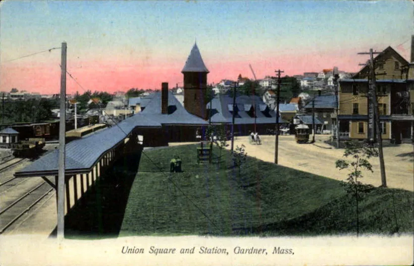
Union Square0.2 mi
Sherman Street0.2 mi
Intervale Road0.2 mi
Jackson Park East0.2 mi
Mechanic Street0.2 mi
Hillside Place0.3 mi
Harris Street0.3 mi
Crawford Street0.3 mi
Warwick Road0.3 mi
Wachusett Road0.3 mi
Jackson Park0.3 mi
Timpany BoulevardHannaford, Gardner CHC
0.3 mi
Kendall Street0.3 mi
West BroadwayJoint Operations, Jersey Mike's Subs, So. Main St./E Broadway Street
0.4 mi
Salvadore WayVerizon, Starbucks
0.4 mi
Dyer Street0.4 mi
Auto parts stores nearby
AutoZone0.4 mi
Auto repair shops nearby
Midas0.4 mi
Banks nearby
Athol Savings Bank0.2 mi
Buildings nearby
Kymalainen Realty0.2 mi
Jump n' Play0.2 mi
Parker Glass0.3 mi
95 Mechanic Street0.3 mi
Cafes nearby
Edesia Cafe0.2 mi
Car dealerships nearby
Salvadore Pre-Owned Super Center0.3 mi
Car rentals nearby
Enterprise0.2 mi
Convenience stores nearby
Nouria0.3 mi
Fast food restaurants nearby
Burger King0.3 mi
McDonald's0.3 mi
Gas stations nearby
Shell0.3 mi
Industrial buildings nearby
Mack Prototype, Inc.0.2 mi
Military areas nearby
Army National Guard0.4 mi
Railways nearby
Gardner Branch0.1 mi
Heywood Industrial Track0.1 mi
Freight Main Line0.2 mi
Restaurants nearby
Four Season Chinese Cuisine0.2 mi
Sorrento's Pizza0.2 mi
Sawa0.4 mi
Sports fields nearby
Little League Field0.2 mi
Streams nearby
Pond Brook0.2 mi
Thrift stores nearby
The Salvation Army0.2 mi
Transportation buildings nearby
MART Maintenance Facility0.1 mi
Wetlands nearby
Travers Pond0.4 mi
 Public transit map Gardner Legend
| Railway | |
| Bus | |
| Streetcar |
 Bicycle map Gardner Legend
| Bike path | |
| Bike lane on roadway | |
| Cycling allowed on bus lane | |
| Bicycle street | |
| Open to cyclists | |
| Open to cyclists, good path | |
| Cycling prohibited | |
| Cobblestone |
| Long-distance bike route | (depending on scale) | |
| Long-distance bike route |
 Pedestrian map Gardner Legend
| Path |
| Long-distance hiking trail | (depending on scale) | |
| Long-distance hiking trail | ||
| Pedestrians prohibited |