
Henry's Link in Princeton, Massachusetts
Henry's Link in Princeton is an unpaved footpath. It runs in an east-west direction and ends in a cul-de-sac.
- Road Type
- footpath
- Route
- east-west
Image
Fire stations
Bakeries
Beauty salons
Banks
Tourist information centers
Post offices
Restaurants
Police stations
Town halls
Community centers
Liquor stores
Convenience stores
Streets nearby
Harriet's Trail100 ft
Edward Augustus Trail150 ft
Hubbardston Road Connector250 ft
1898 Trail250 ft
Mary.s Grove400 ft
Town Hall DrivePrinceton Town Hall
0.1 mi
Common Drive0.2 mi
Prospect Street0.2 mi
Boylston Avenue0.2 mi
Worcester RoadFidelity Bank, Princeton Post Office, Cobb Brook Trails Parking, The Barn
0.2 mi
Allen Hill Road0.3 mi
Radford Road0.3 mi
Gregory Loop0.3 mi
Cemetery Lane0.4 mi
Goodnow Road0.4 mi
Gregory Spring Spur0.4 mi
Alexander Trail0.4 mi
Gregory Hill Road0.4 mi
East Princeton Road0.4 mi
Hall Field Trail0.5 mi
Connor Lane0.5 mi
Poor Family Loop0.5 mi
Hubbardston RoadPrinceton Station, Princeton Police Dept, Princeton Fire Department, Princeton House of Pizza
0.5 mi
Merriam Road0.6 mi
Connector Trail0.6 mi
Thompson Road0.7 mi
Mirick Road0.7 mi
Peabody-Metcalf Loop0.8 mi
Cary Trail0.8 mi
PLT Peabody-Metcalf Loop0.8 mi
Buildings nearby
Town Hall Annex350 ft
Princeton Fire & Police Department400 ft
Woodland Cottage0.2 mi
Pratt's Cottage0.2 mi
Mt. Pleasant House (relocated 1/2)0.6 mi
Mt. Pleasant House0.7 mi
Cemeteries nearby
Boylston Memorial Cemetery0.2 mi
Meetinghouse Cemetery0.3 mi
Woodlawn Cemetery0.4 mi
Libraries nearby
Princeton Public Library0.1 mi
Nature reserves nearby
PLT McElroy0.8 mi
Susan B. Minns Sanctuary0.8 mi
Parks nearby
Goodnow Park300 ft
Places of worship nearby
Princeton First Congregational Church0.2 mi
Prince of Peace Parish Church0.3 mi
Public buildings nearby
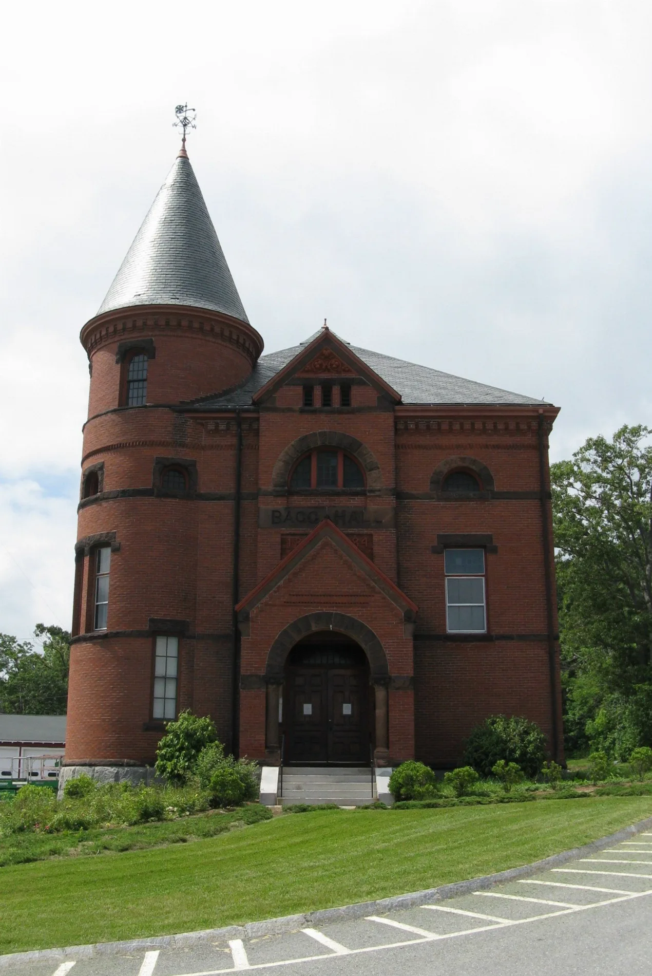
Bagg Hall550 ft
The Princeton Center0.2 mi
Watershed protection areas nearby
Wachusett Watershed0.8 mi
Other nearby
Princeton Town Pound0.4 mi
 Public transit map Princeton Legend
| Railway | |
| Bus | |
| Streetcar |
 Bicycle map Princeton Legend
| Bike path | |
| Bike lane on roadway | |
| Cycling allowed on bus lane | |
| Bicycle street | |
| Open to cyclists | |
| Open to cyclists, good path | |
| Cycling prohibited | |
| Cobblestone |
| Long-distance bike route | (depending on scale) | |
| Long-distance bike route |
 Pedestrian map Princeton Legend
| Path |
| Long-distance hiking trail | (depending on scale) | |
| Long-distance hiking trail | ||
| Pedestrians prohibited |