
Mountain Road in Princeton, Massachusetts
Mountain Road in Princeton is a two-lane, asphalted secondary road. The street has a width of 15.2. It runs in a north-south direction and crosses Pine Hill Road, Gregory Road, Echo Lake Road, Westminster Road, Merriam Road, Thompson Road, Allen Hill Road, Cemetery Lane, Prospect Street, Town Hall Drive and Common Drive and ends at Boylston Avenue, while the other end is a cul-de-sac. Nearby there is among others a bakery. Mountain Road also exists in Berkshire County, Hampden County, Hampshire County, Franklin County and Middlesex County.
- Road Type
- secondary road
- Lanes
- 2
- Route
- north-south
Image
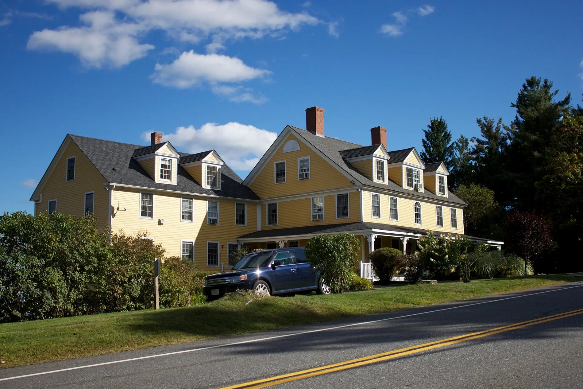
Bakeries
Streets nearby
Echo Lake Road0.5 mi
Mirick Road0.6 mi
Echo Lake Trail0.7 mi
Merriam Road0.7 mi
Westminster Road0.7 mi
State Administration Road0.7 mi
Thompson Road0.7 mi
Gregory Road0.8 mi
High Meadow Trail0.8 mi
Bicentennial Trail0.8 mi
Cemetery Lane0.9 mi
Brown Hill Loop0.9 mi
Jack Frost Trail0.9 mi
Otter Pond Trail0.9 mi
Lower Link Trail1.0 mi
Allen Hill Road1.0 mi
Gregory Spring Spur1.0 mi
Summit Trail1.0 mi
Gregory Loop1.1 mi
Hubbardston RoadPrinceton Police Dept, Princeton Fire Department, Princeton House of Pizza, Princeton Station
1.1 mi
Birch Trail1.2 mi
Alexander Trail1.2 mi
Mary.s Grove1.2 mi
Prospect Street1.2 mi
Goodnow Road1.2 mi
1898 Trail1.2 mi
Edward Augustus Trail1.2 mi
Harriet's Trail1.2 mi
Henry's Link1.2 mi
Hubbardston Road Connector1.2 mi
East Princeton Road1.3 mi
Buildings nearby
Fernside150 ft
Mountainside Bakery & Cafe0.5 mi
Mt. Pleasant House (relocated 1/2)1.1 mi
Mt. Pleasant House1.1 mi
Pratt's Cottage1.1 mi
Woodland Cottage1.2 mi
Town Hall Annex1.3 mi
Princeton Fire & Police Department1.3 mi
Cemeteries nearby
Meetinghouse Cemetery0.9 mi
North Cemetery1.0 mi
Nature reserves nearby
Susan B. Minns Sanctuary0.7 mi
PLT McElroy1.2 mi
Parks nearby
Goodnow Park1.2 mi
Waters nearby
Echo Lake0.7 mi
Black Pond0.9 mi
Otter Pond1.0 mi
Watershed protection areas nearby
Wachusett Watershed0.9 mi
Other nearby
Princeton Town Pound0.9 mi
 Public transit map Princeton Legend
| Railway | |
| Bus | |
| Streetcar |
 Bicycle map Princeton Legend
| Bike path | |
| Bike lane on roadway | |
| Cycling allowed on bus lane | |
| Bicycle street | |
| Open to cyclists | |
| Open to cyclists, good path | |
| Cycling prohibited | |
| Cobblestone |
| Long-distance bike route | (depending on scale) | |
| Long-distance bike route |
 Pedestrian map Princeton Legend
| Path |
| Long-distance hiking trail | (depending on scale) | |
| Long-distance hiking trail | ||
| Pedestrians prohibited |