
Shrewsbury Public Library in Shrewsbury, Massachusetts
Shrewsbury Public Library in Shrewsbury is a library (Elevation 202 m), Main Street 609 (01545) 🌐.
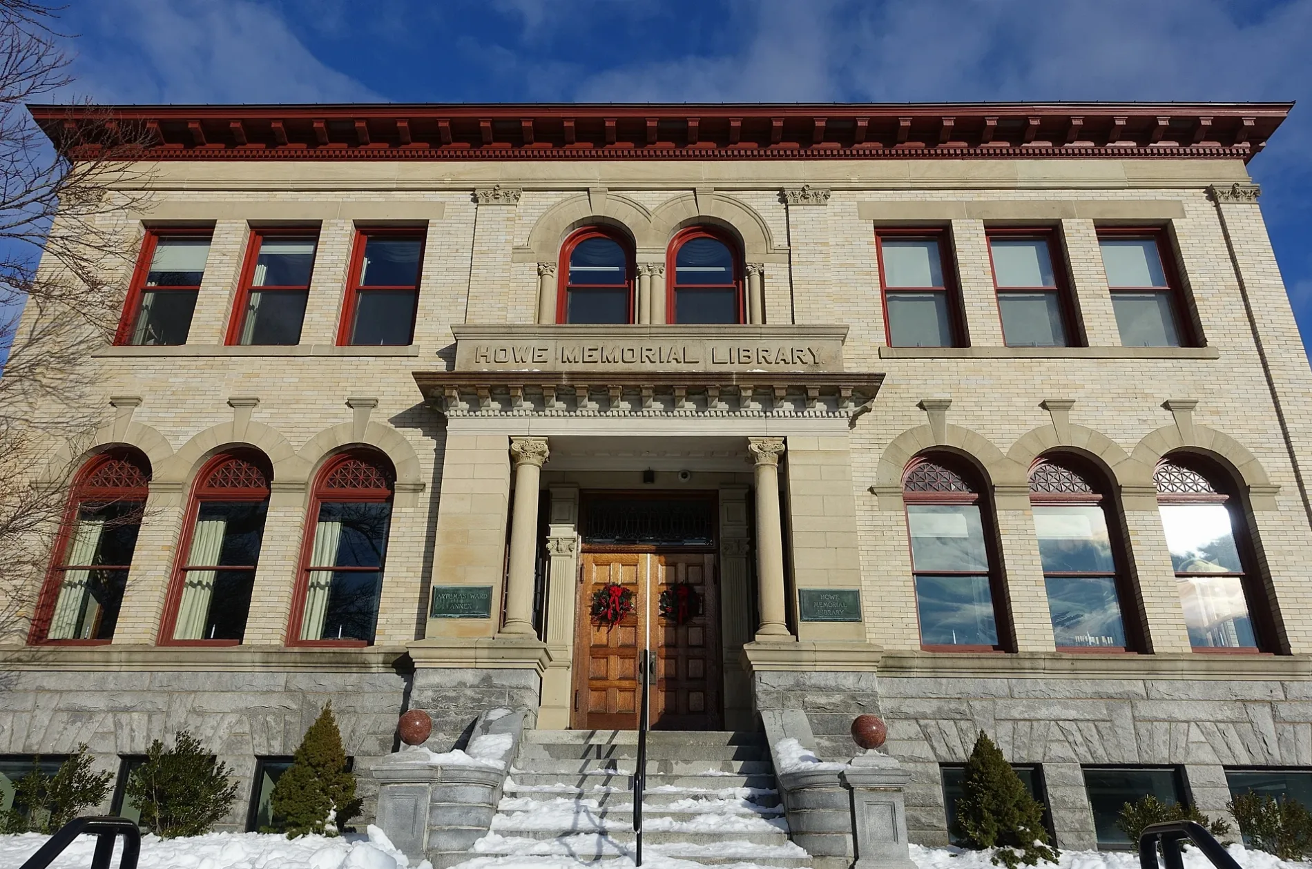
- House Number
- 609
- Postal Code
- 01545
- Street
- Main Street
- Amenity
- library
- Building Type
- building
- Website
- https://shrewsburypubliclibrary.org/
Doctor's offices
Hair salons
Art galleries
Pharmacies
Theaters
Clothing stores
Restaurants
Places of worship
Cafes
Banks
Housewares stores
Libraries
Schools
Museums
- Shrewsbury Historical Society (Web) at Church Road 15 (01545) – approx. 0.1 mi.
Town halls
Stationery stores
Streets nearby
Boylston Street300 ft
Grafton StreetShrewsbury, Shrewsbury Historic District, UMass Memorial Shrewsbury Internal Medicine, Work N Gear, Staples
450 ft
Church RoadShrewsbury Historical Society
500 ft
Alden Avenue550 ft
Prospect StreetMount Olivet Lutheran Church
0.1 mi
Gates Road0.1 mi
Chase TerraceShrewsbury Family Eyecare
0.1 mi
Job Cushing Road0.2 mi
Main StreetTrinity Episcopal Church, Amici's Trattoria, Center Cafe, Shrewsbury Pizzaria, The Hair's Inn, Walgreens, Saint Vincent Medical Group, Mary’s Hair Design, Shropshire Gallery, UMass Memorial Shrewsbury Family Practice
0.2 mi
Maple AvenueSubway, Hooters
0.2 mi
Raymond Avenue0.2 mi
Hascall Street0.2 mi
Harlow Road0.2 mi
Loring Street0.2 mi
Timari Drive0.3 mi
Westwood Road0.3 mi
Summer Street0.3 mi
Wesleyan Street0.3 mi
Churchill Road0.3 mi
Knowlton Avenue0.3 mi
Surrey Lane0.3 mi
Center Court0.3 mi
Westmont Circle0.4 mi
Municipal Drive0.4 mi
Wesleyan Terrace0.4 mi
Taft Road0.4 mi
Westmont Road0.5 mi
Elma Circle0.5 mi
Daniel Road0.5 mi
Banks nearby
M&T Bank0.1 mi
Buildings nearby
1830 Brick Schoolhouse0.1 mi
Cummings Family Masoleum0.2 mi
Cemeteries nearby
Mountain View Cemetery0.1 mi
Churches nearby
First Congregational Church of Shrewsbury0.1 mi
Convenience stores nearby
Shell Food Mart0.3 mi
7-Eleven0.3 mi
Dentist's offices nearby
Dr. William Dennis300 ft
Doctor's offices nearby
Robert R Franger DPM400 ft
Drugstores nearby
Walgreens0.1 mi
Fast food restaurants nearby
Dunkin' Donuts0.3 mi
Fire stations nearby
Shrewsbury Fire Department0.1 mi
Outdoor seatings nearby
Children's Courtyard100 ft
Parks nearby
Shrewsbury Town Common500 ft
Post offices nearby
Shrewsbury Post Office0.4 mi
Restaurants nearby
Willy's Steakhouse Grill & Sushi Bar450 ft
School buildings nearby
St Mary's School0.1 mi
Schools nearby
Lilliput School0.1 mi
Shelters nearby
Bandstand450 ft
Streams nearby
Big Bummet Brook0.3 mi
| Country | United States |
|---|---|
| Part of | Shrewsbury Free Public Library, CW MARS |
 Public transit map Shrewsbury Legend
| Railway | |
| Bus | |
| Streetcar |
 Bicycle map Shrewsbury Legend
| Bike path | |
| Bike lane on roadway | |
| Cycling allowed on bus lane | |
| Bicycle street | |
| Open to cyclists | |
| Open to cyclists, good path | |
| Cycling prohibited | |
| Cobblestone |
| Long-distance bike route | (depending on scale) | |
| Long-distance bike route |
 Pedestrian map Shrewsbury Legend
| Path |
| Long-distance hiking trail | (depending on scale) | |
| Long-distance hiking trail | ||
| Pedestrians prohibited |