
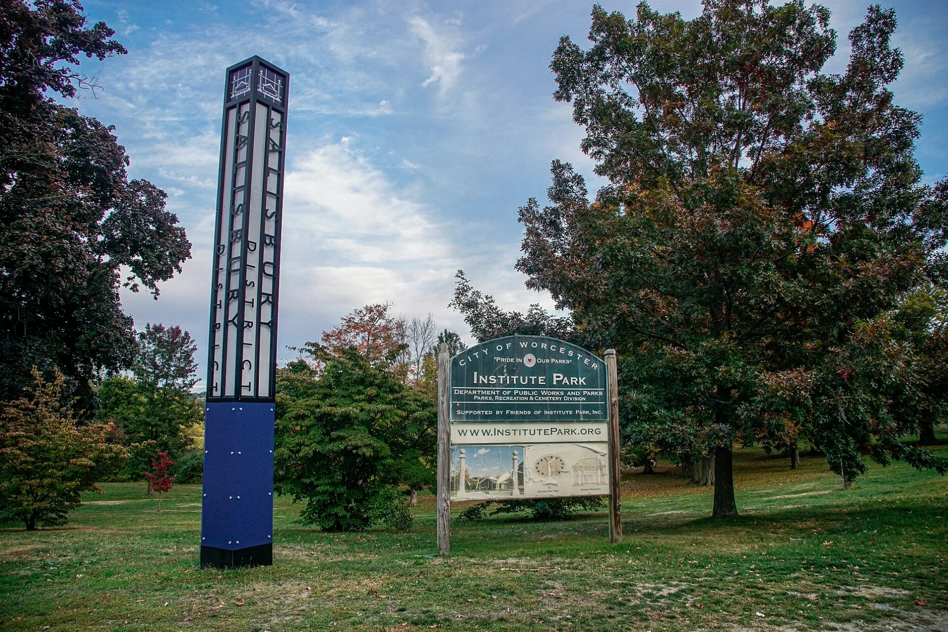
Institute Park in Worcester, Massachusetts
Institute Park in Worcester is a park (City Of Worcester). Institute Park is located near AK Cutoff. Ⓦ.
- Leisure
- park
Image
Charging stations
Public clocks
Convenience stores
Bookstores
Galleries
- Worcester Art Museum (WLAN, Worcester Art Museum, opening hours: Wed–Sun 10–16, fee required, Web) at Salisbury Street 55 (01609) – approx. 0.2 mi.
Museums
- Salisbury Mansion (Web) – approx. 0.3 mi.
Cafes
Fast food restaurants
Police stations
Food courts
Tourist information centers
Libraries
Restaurants
Artworks
Movie theaters
Fountains
Post offices
Fire stations
Places of worship
Streets nearby
AK Cutoff550 ft
Freeman PlazaThe Fountain, Victor E. Edwards Sundial
0.1 mi
Earle Bridge0.2 mi
John Wing Road0.2 mi
Rural Drive0.2 mi
South Boundary Avenue0.3 mi
Magnolia AvenueRobert Goddard
0.3 mi
Regent Street0.3 mi
Rumford Avenue0.3 mi
West Boundary Avenue0.3 mi
Park Avenuepsychic palm and tarot readings, Bagel Time, Mobil, Metz Opticians, Worcester Fire Department, Peppercorns Grill & Bar, Family Farms, Bank of America, Da Lat, Starlight Laundrymat, Double Down Brewing Co., Hamilton Computer Repairs, Clark Counseling Services/Health Services, Wang Wang Restaurant, OMG! Braces, Subway, Yoway Cafe & Frozen Yogurt, Studio 31 Tattoo Social Club, Mochinut, T-Mobile, Dunkin', Snipes, Park View Room, IKrave cafe, KFC/Taco Bell, TD Bank, Baba Sushi Restaurant, Rocco's Gentlemen's Clothing, Domino's, Chuan Shabu, Loft 266, El Basha, Jelly's Discs, Haiku Sushi, AutoZone, Altea's Eatery, Passport Health Worcester Travel Clinic, Starbucks, Goodwill, Boston Donuts, Speedway
0.3 mi
Grove StreetWorcester Fire Department, 30, 30 The Trolley Stop, O'Reilly Auto Parts, Wachusett Spirits, Indian Lake Pathway Waypoints Directions, Armenian Apostolic Church, Indian Lake Pathway Waypoint and Direction Sign, Indian Lake Pathway Trailhead, Indian Lake Pathway Waypoint Directions, Shell, Dunkin', Ciao Bella, Northworks Bar & Grille, Fuel America - Grove Street, The Fix Burger Bar
0.3 mi
North Boundary Avenue0.4 mi
North Street0.4 mi
Montvale Road0.4 mi
Buildings nearby
Phi Gamma Delta150 ft
Theta Chi0.1 mi
Unity Hall0.1 mi
Churches nearby
Armenian Church of Our Savior400 ft
Dormitories nearby
East Hall450 ft
Founders Hall0.1 mi
Messenger Hall0.2 mi
Grasslands nearby
Higgins Lawn0.2 mi
Libraries nearby
George C. Gordon Library0.1 mi
American Antiquarian Society0.3 mi
Parking lots nearby
East Hall Garage0.1 mi
Places of worship nearby
First Baptist Church0.2 mi
Residential areas nearby
WPI Townhouses0.3 mi
Restaurants nearby
Oak Barrel Tavern0.4 mi
Service buildings nearby
Power House0.1 mi
Sports centers nearby
Harrington Auditorium0.2 mi
Sports fields nearby
O'Connell Field0.2 mi
Rooftop Field0.3 mi
University buildings nearby
Kaven Hall250 ft
Fuller Laboratories350 ft
Atwater Kent Laboratories400 ft
Salisbury Laboratories0.1 mi
Goddard Hall0.1 mi
Washburn Shops and Stoddard Laboratories0.1 mi
Laurie A. Leshin Global Project Center0.1 mi
Olin Hall0.1 mi
Stratton Hall0.2 mi
Higgins Laboratories0.2 mi
Boynton Hall0.2 mi
Rubin Campus Center0.2 mi
Higgins House0.2 mi
WPI Innovation Studio0.2 mi
Bartlett Center0.2 mi
Waters nearby
Salisbury Pond400 ft
| Located in | Massachusetts |
|---|---|
| Country | United States |
 Public transit map Worcester Legend
| Railway | |
| Bus | |
| Streetcar |
 Bicycle map Worcester Legend
| Bike path | |
| Bike lane on roadway | |
| Cycling allowed on bus lane | |
| Bicycle street | |
| Open to cyclists | |
| Open to cyclists, good path | |
| Cycling prohibited | |
| Cobblestone |
| Long-distance bike route | (depending on scale) | |
| Long-distance bike route |
 Pedestrian map Worcester Legend
| Path |
| Long-distance hiking trail | (depending on scale) | |
| Long-distance hiking trail | ||
| Pedestrians prohibited |