
Rural Cemetery & Crematory in Worcester, Massachusetts
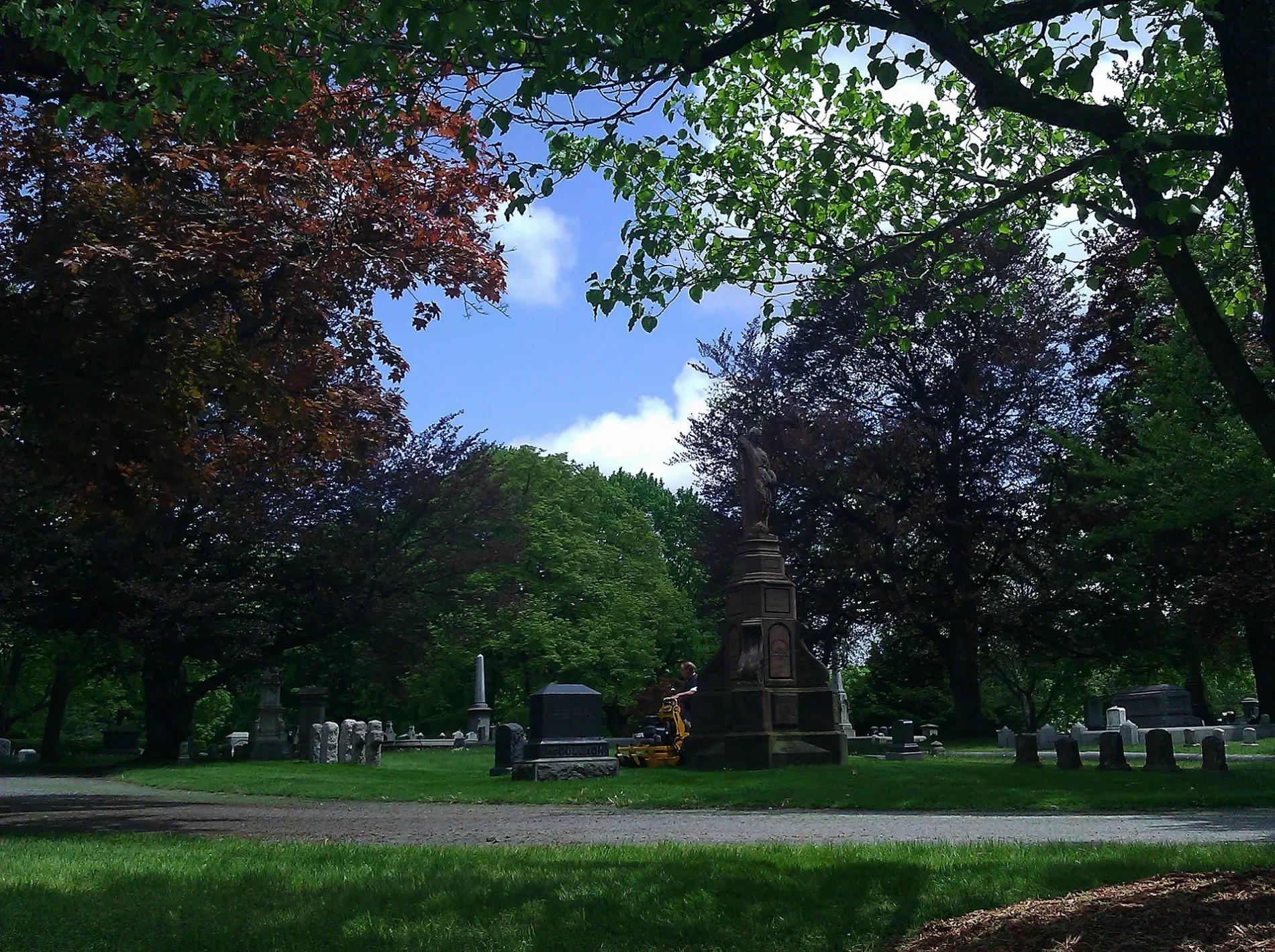
Rural Cemetery & Crematory in Worcester is a cemetery. Rural Cemetery & Crematory is also known as Worcester Rural Cemetery. Ⓦ.
- Land Use
- cemetery
Image
Cafes
Sporting goods stores
Hair salons
Auto parts stores
Thrift stores
Restaurants
Places of worship
Fire stations
Clinics
Bars
Gas stations
Bus stops
Fast food restaurants
Schools
Liquor stores
Cell phone stores
Pharmacies
Streets nearby
Moran CourtThe Gun Parlor
50 ft
East Boundary Avenue200 ft
North East Avenue350 ft
Park AvenueBagel Time, Mobil, Metz Opticians, Worcester Fire Department, Peppercorns Grill & Bar, Family Farms, Bank of America, Da Lat, Starlight Laundrymat, Double Down Brewing Co., Hamilton Computer Repairs, Clark Counseling Services/Health Services, Wang Wang Restaurant, OMG! Braces, Subway, Yoway Cafe & Frozen Yogurt, Studio 31 Tattoo Social Club, Mochinut, T-Mobile, Dunkin', Snipes, Park View Room, IKrave cafe, KFC/Taco Bell, TD Bank, Baba Sushi Restaurant, Rocco's Gentlemen's Clothing, Domino's, Chuan Shabu, Loft 266, El Basha, Jelly's Discs, Haiku Sushi, AutoZone, Altea's Eatery, Passport Health Worcester Travel Clinic, psychic palm and tarot readings, Starbucks, Goodwill, Boston Donuts, Speedway
350 ft
Redding Court400 ft
Fern Avenue450 ft
Sycamore Avenue500 ft
West Circlecular Avenue500 ft
Upper Avenue0.1 mi
North Boundary Avenue0.1 mi
Sigourney Street0.1 mi
South East Avenue0.2 mi
Nashua Street0.2 mi
Eastern Avenue0.2 mi
Center Avenue South0.2 mi
Byron Street0.2 mi
Linden Avenue0.2 mi
Edgeworth Street0.2 mi
Prescott StreetMa Academy for Math and Science School
0.2 mi
Woodside Avenue0.2 mi
Central Avenue0.2 mi
North Avenue0.2 mi
Crescent Street0.2 mi
Whittier Street0.2 mi
Dryden Street0.3 mi
Bremer Street0.3 mi
Bryant Street0.3 mi
Powers Court0.3 mi
Willis Street0.3 mi
South Boundary Avenue0.3 mi
West Boundary Avenue0.3 mi
Magnolia AvenueRobert Goddard
0.3 mi
Hemans Street0.3 mi
Rural Drive0.3 mi
Grove StreetWorcester Fire Department, 30, 30 The Trolley Stop, O'Reilly Auto Parts, Wachusett Spirits, Indian Lake Pathway Waypoints Directions, Armenian Apostolic Church, Indian Lake Pathway Waypoint and Direction Sign, Indian Lake Pathway Trailhead, Indian Lake Pathway Waypoint Directions, Shell, Dunkin', Ciao Bella, Northworks Bar & Grille, Fuel America - Grove Street, The Fix Burger Bar
0.3 mi
Prioulx Street0.3 mi
Brookfield Street0.3 mi
Daly Street0.3 mi
North Street0.3 mi
Hemans Court0.3 mi
Rumford Avenue0.4 mi
Buildings nearby
Jefferson Mausoleum0.2 mi
Cafes nearby
Bean Counter Bakery Cafe0.3 mi
Industrial areas nearby
Peterson0.2 mi
Parks nearby
Fairmont Park0.3 mi
Preschools nearby
The Goddard School0.3 mi
Restaurants nearby
Ralph's Diner0.3 mi
Oak Barrel Tavern0.3 mi
Other nearby
Nashua Street Substation0.2 mi
| Located in | Worcester |
|---|---|
| Country | United States |
 Public transit map Worcester Legend
| Railway | |
| Bus | |
| Streetcar |
 Bicycle map Worcester Legend
| Bike path | |
| Bike lane on roadway | |
| Cycling allowed on bus lane | |
| Bicycle street | |
| Open to cyclists | |
| Open to cyclists, good path | |
| Cycling prohibited | |
| Cobblestone |
| Long-distance bike route | (depending on scale) | |
| Long-distance bike route |
 Pedestrian map Worcester Legend
| Path |
| Long-distance hiking trail | (depending on scale) | |
| Long-distance hiking trail | ||
| Pedestrians prohibited |