
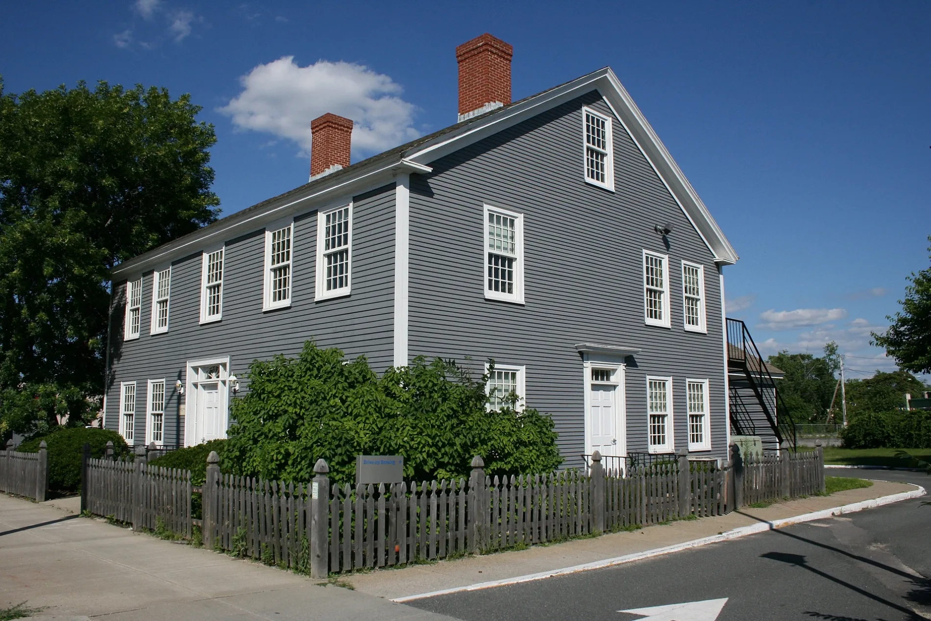
Stearns Tavern in Worcester, Massachusetts
Stearns Tavern in Worcester is a historic building, Lakeside Avenue (01602). Ⓦ.
- Postal Code
- 01602
- Street
- Lakeside Avenue
- Building Type
- building
Image
Cafes
Cannabis dispensaries
Supermarkets
Post offices
Places of worship
Clinics
Fast food restaurants
Shoe stores
Variety stores
Pharmacies
Fire stations
Liquor stores
Restaurants
Pubs
Hardware stores
Schools
Bars
Hair salons
Streets nearby
East-West TrailHadwen Arboretum Kiosk
250 ft
Coes Street400 ft
Manomet Street550 ft
Lakeside Avenue550 ft
Mill StreetSeven Hills Cafe, Mobil Corner Store, Dollar Tree, Mayflower Medicinals Dispensary, Country Bank, Mill Swan School
0.1 mi
Ball Street0.1 mi
Elmer Street0.1 mi
Wayne Street0.1 mi
Buffum Street0.2 mi
South Buffum Street0.2 mi
Circuit Avenue South0.2 mi
Garland Street0.2 mi
Veterans Avenue0.2 mi
Lakewood Street0.2 mi
Autumn Street0.2 mi
Cabot Street0.2 mi
Circuit Avenue East0.2 mi
Coes Square0.3 mi
Park AvenueDunkin', Snipes, Bagel Time, Mobil, Metz Opticians, Worcester Fire Department, Peppercorns Grill & Bar, Family Farms, Bank of America, Da Lat, Starlight Laundrymat, Double Down Brewing Co., Hamilton Computer Repairs, Clark Counseling Services/Health Services, Wang Wang Restaurant, OMG! Braces, Subway, Yoway Cafe & Frozen Yogurt, Studio 31 Tattoo Social Club, Mochinut, T-Mobile, Park View Room, IKrave cafe, KFC/Taco Bell, TD Bank, Baba Sushi Restaurant, Rocco's Gentlemen's Clothing, Domino's, Chuan Shabu, Loft 266, El Basha, Jelly's Discs, Haiku Sushi, AutoZone, Altea's Eatery, Passport Health Worcester Travel Clinic, psychic palm and tarot readings, Starbucks, Goodwill, Boston Donuts, Speedway
0.3 mi
Baker Street0.3 mi
Vincent Avenue0.3 mi
Spaulding Street0.3 mi
West Lake Street0.3 mi
Gates Lane0.3 mi
Montague Street0.3 mi
Roseville Lane0.3 mi
Lovell StreetBeaver Brook
0.3 mi
Isabella Street0.3 mi
Bishop AvenueOur Lady of the Angels School
0.3 mi
Wayne Terrace0.4 mi
Circuit Avenue West0.4 mi
Wentworth Street0.4 mi
Circuit Avenue North0.4 mi
Catalpa Street0.4 mi
Gates Road0.4 mi
Gates Circle0.5 mi
Brookline Street0.5 mi
Banks nearby
Rockland Trust Bank0.3 mi
Bike shops nearby
Barney's Bicycle Shop0.2 mi
Buildings nearby
Coes Wrench Company0.2 mi
Fast food restaurants nearby
Popeyes0.2 mi
Funeral homes nearby
O'Connor Brothers Funeral Home0.2 mi
Hardware stores nearby
Plywood Plus0.2 mi
Recreation grounds nearby
Coe's Reservoir Conservation Restriction0.4 mi
Residential areas nearby
Lakeside Apartments0.2 mi
Restaurants nearby
Applebee's0.2 mi
Pho Bowl0.2 mi
Rivers nearby
Middle River0.1 mi
Weirs nearby
Coes Lower Pond Dam0.2 mi
| Heritage designation | National Register of Historic Places listed place |
|---|---|
| Located in | Massachusetts |
| Country | United States |
 Public transit map Worcester Legend
| Railway | |
| Bus | |
| Streetcar |
 Bicycle map Worcester Legend
| Bike path | |
| Bike lane on roadway | |
| Cycling allowed on bus lane | |
| Bicycle street | |
| Open to cyclists | |
| Open to cyclists, good path | |
| Cycling prohibited | |
| Cobblestone |
| Long-distance bike route | (depending on scale) | |
| Long-distance bike route |
 Pedestrian map Worcester Legend
| Path |
| Long-distance hiking trail | (depending on scale) | |
| Long-distance hiking trail | ||
| Pedestrians prohibited |