
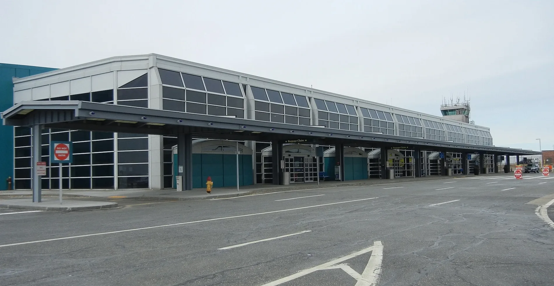
Worcester Regional Airport in Worcester, Massachusetts
Worcester Regional Airport in Worcester is an airfield (IATA: ORH, ICAO: KORH). Worcester Regional Airport is also known as ORH. Ⓦ.
- Operator
- Mass Port Authority
- Website
- https://www.massport.com/worcester-airport/
Image
Cafes
Artworks
Pharmacies
Restaurants
Cell phone stores
Butcher shops
Gas stations
Convenience stores
Car rentals
Hardware stores
Bus stops
Jewelry stores
Schools
Banks
Places of worship
Liquor stores
Tattoo studios
Garden centers
Streets nearby
Sylvester Street0.3 mi
Airport DriveWorcester Airport Rental Cars
0.5 mi
Coppage Drive0.5 mi
East-West TrailHadwen Arboretum Kiosk
0.5 mi
White Triangle Trail0.7 mi
Fowler Brook Trail (yellow tri)0.7 mi
Red Triangle Trail0.8 mi
Tetasset Hills Trail/East-West Trail (red & blue sq)0.8 mi
Mulberry Street0.9 mi
Tetasset Hills Trail (red sq)0.9 mi
Rockrimmon Road0.9 mi
Brewster Road0.9 mi
Glen Ellen Road0.9 mi
Rockrimmon Way0.9 mi
Prouty Lane0.9 mi
Robinhood Road0.9 mi
Bainridge Road1.0 mi
Joppa Road1.0 mi
Bailey Street1.0 mi
Lyndebrook Drive1.0 mi
Meadow Lane1.0 mi
Laureldale Road1.0 mi
Assabet Lane1.0 mi
Robertson Road1.1 mi
Woodland Road1.1 mi
Wildwood Avenue1.1 mi
Reservoir Street1.1 mi
Ledgecrest Drive1.2 mi
Sacks Drive1.2 mi
Pine Avenue1.2 mi
Goddard Memorial Drive1.2 mi
Buildings nearby
Worcester Airport Terminal0.4 mi
T.J. Maxx Distribution Center0.8 mi
Canals nearby
Lynde Brook1.1 mi
Commercial buildings nearby
Rectrix Aerodrome Centers Inc.0.5 mi
Rectrix0.5 mi
Dams nearby
Lynde Brook Reservoir Dike0.9 mi
Kettle Brook Reservoir Number One Dam1.0 mi
Lynde Brook Reservoir Dam1.1 mi
Forests nearby
Fowler Brook South Fork0.8 mi
Nature reserves nearby
God's Acre0.9 mi
Fowler Brook Gorge1.0 mi
Parks nearby
Bailey-Prouty Playground0.9 mi
Little League Field1.2 mi
Schools nearby
McAuley Nazareth Home for Boys0.9 mi
Streams nearby
The Cascade0.9 mi
Warehouses nearby
Amazon Fulfillment Center DTB21.1 mi
Waters nearby
Kettle Brook Reservoir Number One1.0 mi
Other nearby
Syncarpha Leicester Hybrid CSG0.9 mi
| Elevation | 308 m |
|---|---|
| Located in | Massachusetts |
| Country | United States |
 Public transit map Worcester Legend
| Railway | |
| Bus | |
| Streetcar |
 Bicycle map Worcester Legend
| Bike path | |
| Bike lane on roadway | |
| Cycling allowed on bus lane | |
| Bicycle street | |
| Open to cyclists | |
| Open to cyclists, good path | |
| Cycling prohibited | |
| Cobblestone |
| Long-distance bike route | (depending on scale) | |
| Long-distance bike route |
 Pedestrian map Worcester Legend
| Path |
| Long-distance hiking trail | (depending on scale) | |
| Long-distance hiking trail | ||
| Pedestrians prohibited |