
Barium Street Northwest in Ramsey, Minnesota
Barium Street Northwest in Ramsey is an asphalted residential street. It runs in a north-south direction starting from 142nd Lane Northwest and crosses 141st Avenue Northwest. It ends in a cul-de-sac. Barium Street Northwest also exists in Saint Francis.
- Road Type
- residential street
- Route
- north-south
Image
Cafes
Tobacco shops
Car washes
Cannabis dispensaries
Campgrounds
Bus stops
Fast food restaurants
Convenience stores
Hair salons
Health food stores
Pet stores
Platforms
Restaurants
Places of worship
Ice cream shops
Social facilities
Auto repair shops
Stations
Streets nearby
142nd Lane Northwest350 ft
142nd Circle Northwest400 ft
Cobalt Circle Northwest0.1 mi
140th Lane Northwest0.1 mi
141st Avenue Northwest0.1 mi
Argon Street Northwest0.1 mi
142nd Avenue Northwest0.2 mi
140th Court Northwest0.2 mi
Saint Francis BoulevardCaribou Coffee, Miss Iz Ice Cream, Great Clips, Ramsey Smoke Shop, National Karate, Jimmy John's, Ginger Cafe
0.2 mi
Cobalt Street Northwest0.2 mi
Barium Street0.2 mi
Nowthen Boulevard Northwest0.2 mi
143rd Avenue Northwest0.2 mi
Xkimo Street NorthwestRiver’s Bend Bar & Grill
0.2 mi
Fluorine Street Northwest0.2 mi
Dysprosium Street Northwest0.3 mi
140th Avenue Northwest0.3 mi
143rd Lane Northwest0.3 mi
Xkimo Court Northwest0.3 mi
Waco Street Northwest0.3 mi
144th Way Northwest0.3 mi
Thurston AvenueHwy 10 Svc Rd
0.3 mi
Germanium Street Northwest0.4 mi
Flourine Court0.4 mi
144th Court Northwest0.4 mi
Iodine Street Northwest0.4 mi
144th Avenue Northwest0.4 mi
145th Avenue Northwest0.4 mi
Tower Pond Drive0.4 mi
Tower Pond Court0.4 mi
Stone Haven Court0.4 mi
Chase Avenue0.5 mi
Edith Patch Drive0.5 mi
Coolidge Street Northwest0.5 mi
Weaver Court0.5 mi
Bunker Lake BoulevardSubway, Energy Hub
0.5 mi
Junkite Street Northwest0.5 mi
Weaver Boulevard0.5 mi
Krypton Street Northwest0.6 mi
Central Anoka County Regional Trail$5 Pizza, Speedway, Speedway Car Wash, New Creations Child Care & Learning Center | Ramsey
0.7 mi
Banks nearby
Flagship Bank0.1 mi
Bank of the West0.2 mi
Buildings nearby
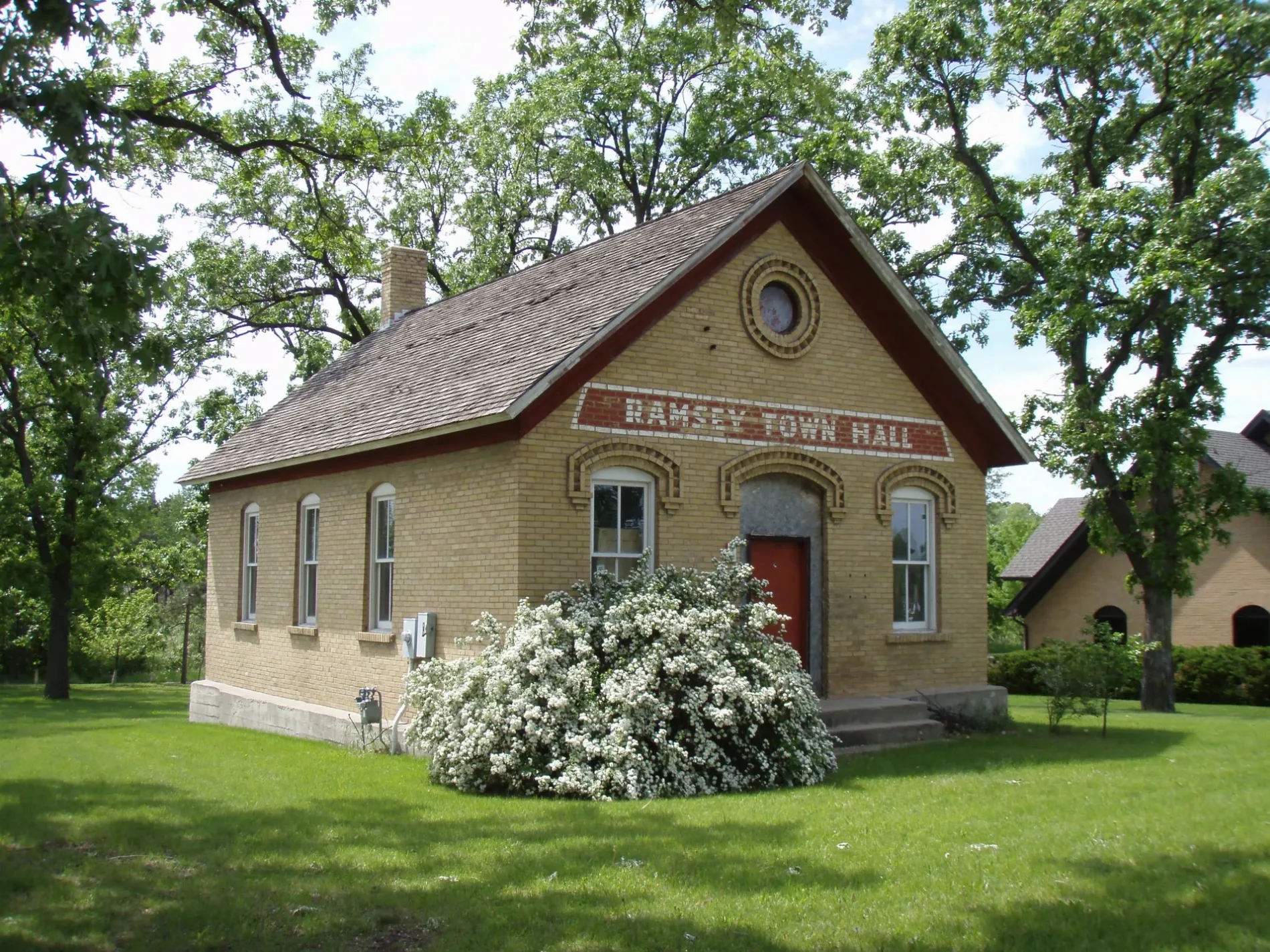
Old Ramsey Town Hall0.2 mi
Aspen Exteriors0.2 mi
Car washes nearby
Speedway0.3 mi
Gas stations nearby
Holiday Gas Station0.2 mi
Parks nearby
River's Bend Park0.4 mi
Flintwood Terrace Park0.5 mi
Waters nearby
Flintwood Lake0.5 mi
 Public transit map Ramsey Legend
| Railway | |
| Bus | |
| Streetcar |
 Bicycle map Ramsey Legend
| Bike path | |
| Bike lane on roadway | |
| Cycling allowed on bus lane | |
| Bicycle street | |
| Open to cyclists | |
| Open to cyclists, good path | |
| Cycling prohibited | |
| Cobblestone |
| Long-distance bike route | (depending on scale) | |
| Long-distance bike route |
 Pedestrian map Ramsey Legend
| Path |
| Long-distance hiking trail | (depending on scale) | |
| Long-distance hiking trail | ||
| Pedestrians prohibited |