
Schmahl Avenue in Center City, Minnesota
Schmahl Avenue in Center City is a residential street and it runs in an east-west direction starting from Center Avenue and ends in a cul-de-sac.
- Road Type
- residential street
- Route
- east-west
Image
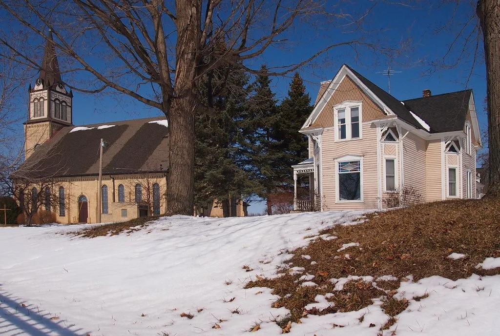
Streets nearby
Lindeke Avenue300 ft
Summit Avenue450 ft
Louise Avenue500 ft
Lockey Avenue0.1 mi
Mobeck AvenueCenter City, Center City Post Office, Center City Fire Department
0.1 mi
310th Street0.2 mi
Busch Avenue0.2 mi
North Main Street0.2 mi
1st Street0.2 mi
Schulze Avenue0.3 mi
Burns Avenue0.3 mi
Center AvenueCenter City Hall
0.3 mi
2nd Street0.3 mi
North Lake Street0.3 mi
Andrews Avenue0.3 mi
Moody Avenue0.4 mi
Folsom AvenueJake's On The Lake
0.4 mi
Calendar Isle0.4 mi
Grand Avenue0.4 mi
Norman Lane0.4 mi
Park Island Road0.5 mi
Pleasant Knoll0.5 mi
Crescent Beach Road0.5 mi
Roy Avenue0.5 mi
Crescent Road0.5 mi
Lake Boulevard0.6 mi
Nystrom Lane0.6 mi
Irene Street0.6 mi
Grand Avenue South0.7 mi
Dew Drop Lane0.7 mi
Dew Drop Circle0.7 mi
Orchard Court0.7 mi
Irene Avenue0.7 mi
Nelson Court0.8 mi
315th Street0.8 mi
Nelson Lane0.8 mi
Church Street0.9 mi
Irene Court0.9 mi
Newlander Avenue0.9 mi
Norway Avenue0.9 mi
Pleasant Valley Road1.0 mi
318th Street1.1 mi
Novak Avenue1.1 mi
319th Trail1.1 mi
Parks nearby
Center City Recreational Area550 ft
Water Tower Park0.2 mi
Center City Commons0.4 mi
School buildings nearby
Chisago Lakes Middle0.6 mi
Waters nearby
Pioneer Lake0.4 mi
Public transit map Center City Legend
| Railway | |
| Bus | |
| Streetcar |
Bicycle map Center City Legend
| Bike path | |
| Bike lane on roadway | |
| Cycling allowed on bus lane | |
| Bicycle street | |
| Open to cyclists | |
| Open to cyclists, good path | |
| Cycling prohibited | |
| Cobblestone |
| Long-distance bike route | (depending on scale) | |
| Long-distance bike route |
Pedestrian map Center City Legend
| Path |
| Long-distance hiking trail | (depending on scale) | |
| Long-distance hiking trail | ||
| Pedestrians prohibited |