
Vine Street in Lindström, Minnesota
Vine Street in Lindström is a residential street. It runs in a north-south direction starting from Bronson Avenue and crosses Newell Avenue. Vine Street also exists in Wyoming.
- Road Type
- residential street
- Route
- north-south
Image
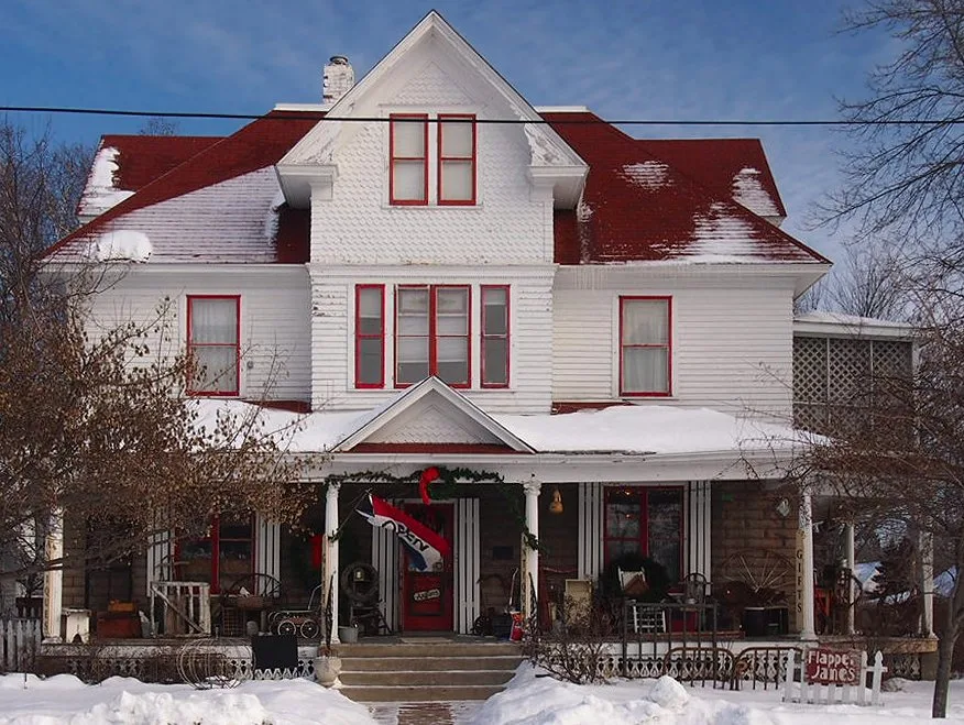
Liquor stores
Thrift stores
Convenience stores
Supermarkets
Campgrounds
Police stations
Bakeries
Auto repair shops
Car washes
Vending machines
Places of worship
Restaurants
Cafes
Clinics
Fast food restaurants
Pharmacies
Fire stations
Town halls
Streets nearby
Bronson Avenue300 ft
Linden Street500 ft
1st Avenue North0.1 mi
Lake BoulevardSwedish Inn, Redbox, Northwoods Roasterie & Coffee, Chisago County Sheriffs Office, Lindström Bakery Incorporated, Lindstrom Municipal Liquors, Lindstrom Motors Auto Service, Holiday Car Wash, Holiday, Lindstrom Fire Department
0.1 mi
Summit Avenue0.1 mi
Lake Avenue0.1 mi
Park StreetLindström
0.2 mi
Moonlight Bay CourtLindstrom Clinic of St. Croix Health
0.2 mi
Maple Street0.2 mi
Lake LaneElm Estates, Family Pathway Thrift Store & Donation Center
0.3 mi
Newell AvenueTrinity Lutheran Church
0.3 mi
North Lakes TrailDomino's
0.3 mi
Oak Street0.3 mi
Pleasant Avenue0.3 mi
Lincoln RoadLindstrom Thrifty White Pharmacy
0.3 mi
Minnesota Avenue0.4 mi
Elm Street0.4 mi
Lake Shore Terrace0.4 mi
Newlander Avenue0.4 mi
Signe Street0.4 mi
1st Street0.4 mi
3rd Street0.5 mi
Sylvan Avenue0.5 mi
Palmer Court0.5 mi
North 4th Avenue0.5 mi
Olinda Trail0.5 mi
2nd Street0.5 mi
Saint Croix Avenue0.5 mi
Andrews Court0.6 mi
Marine Court0.6 mi
4th Avenue North0.6 mi
Broadway Street North0.6 mi
2nd Avenue North0.6 mi
3rd Avenue North0.6 mi
300th Street0.6 mi
Antique stores nearby
Lindstrom Antique Mall0.2 mi
Attractions nearby
Swedish Coffee Pot Water Tower0.3 mi
Buildings nearby
Lindström Clinic of St. Croix Health0.2 mi
Dentist's offices nearby
Borealis Dental Studio0.2 mi
Fast food restaurants nearby
DQ Grill & Chill0.5 mi
Gas stations nearby
Holiday0.4 mi
Liquor stores nearby
Lindstrom Liquors0.3 mi
Parks nearby
Beach Park0.1 mi
Pumphouse Park0.4 mi
Pleasant Hill Park0.4 mi
Post offices nearby
Lindstrom Post Office0.2 mi
Tourist information centers nearby
Chisago Lakes Chamber & Area Information Center500 ft
Waters nearby
South Lindstrom Lake0.2 mi
North Lindstrom Lake0.4 mi
 Public transit map Lindström Legend
| Railway | |
| Bus | |
| Streetcar |
 Bicycle map Lindström Legend
| Bike path | |
| Bike lane on roadway | |
| Cycling allowed on bus lane | |
| Bicycle street | |
| Open to cyclists | |
| Open to cyclists, good path | |
| Cycling prohibited | |
| Cobblestone |
| Long-distance bike route | (depending on scale) | |
| Long-distance bike route |
 Pedestrian map Lindström Legend
| Path |
| Long-distance hiking trail | (depending on scale) | |
| Long-distance hiking trail | ||
| Pedestrians prohibited |