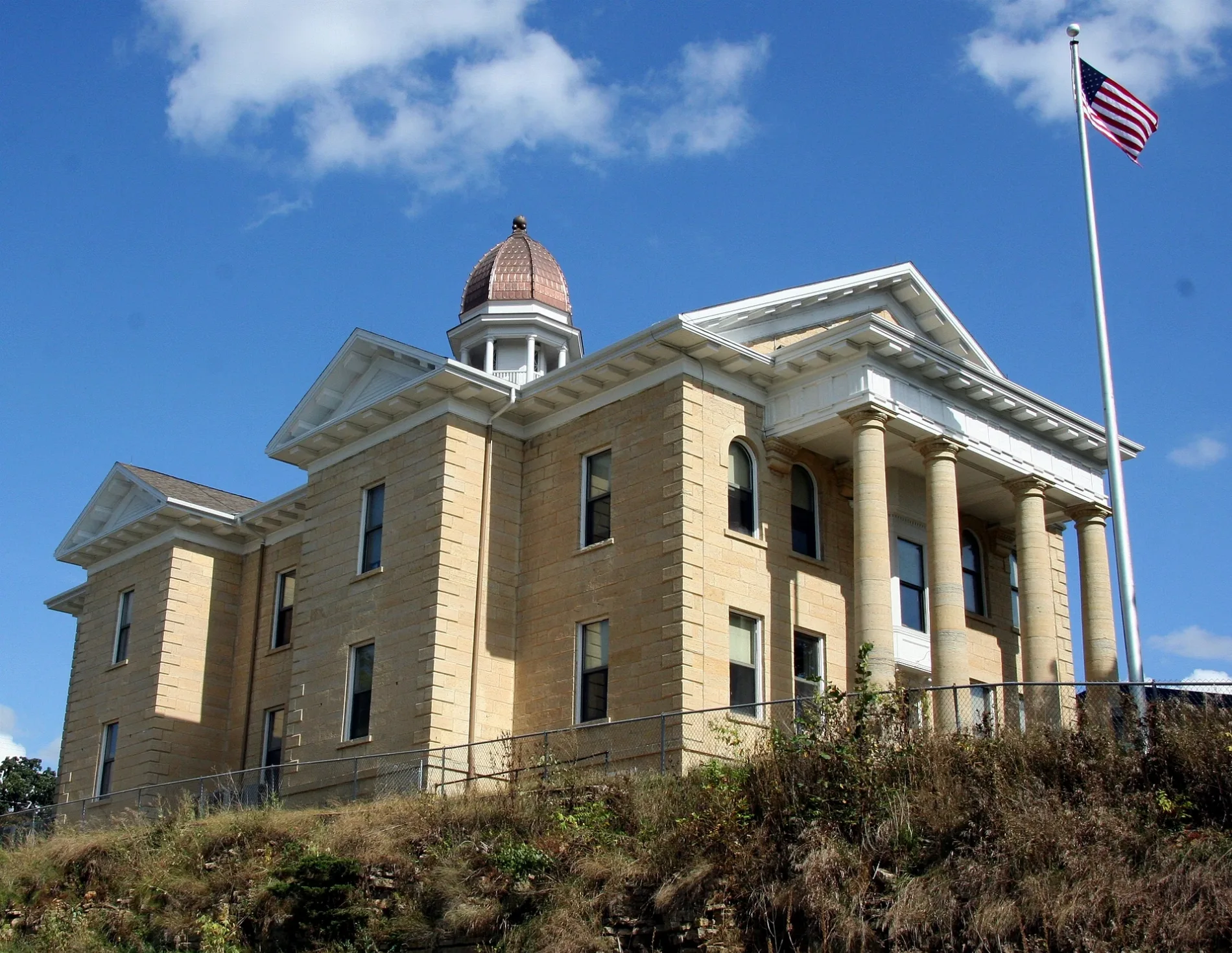
Dodge County Courthouse as seen from Minnesota State Highway 57 in Mantorville, Minnesota – Jonathunder, CC BY-SA 3.0 – Wikimedia Commons Dodge County is located in Minnesota. About 20,364 people live here. Between 2010 and 2020, the population grew from 20,087 to 20,867. The area covers about 1,139.0 square kilometers. The region is divided into 6 Municipalities and 12 Subregions. The region was founded in 1855. The name originates from Henry Dodge (American politician and general) Dodge County is county in Minnesota, United States. More information at www.co.dodge.mn.us.


 Public transit map Dodge County Legend
  Bicycle map Dodge County Legend
  Pedestrian map Dodge County Legend