
North Main Street in Zumbrota, Minnesota
North Main Street in Zumbrota is a two-lane main road (Road number MN 58). It runs in a north-south direction starting from Main Street North and crosses South Street, Pearl Street, Park Road, East 1st Street, East 2nd Street, West 2nd Street, East 3rd Street, West 3rd Street, East 4th Street and West 4th Street and ends at Main Street. This street is part of the highways 58 and Constitutional Route 58. Nearby there is a shoe store. North Main Street also exists in Big Stone County, Lincoln County, Yellow Medicine County, Marshall County and Polk County.
- Road Type
- main road
- Lanes
- 2
- Speed Limit
- 40 mph
- Route
- north-south
Image
Shoe stores
Streets nearby
Parkview Circle0.1 mi
Parkview Curve0.1 mi
East Street0.1 mi
South Street0.1 mi
Overlook Circle0.2 mi
Park Road0.2 mi
Aqua Circle0.2 mi
Aqua Drive0.2 mi
Pearl Street0.2 mi
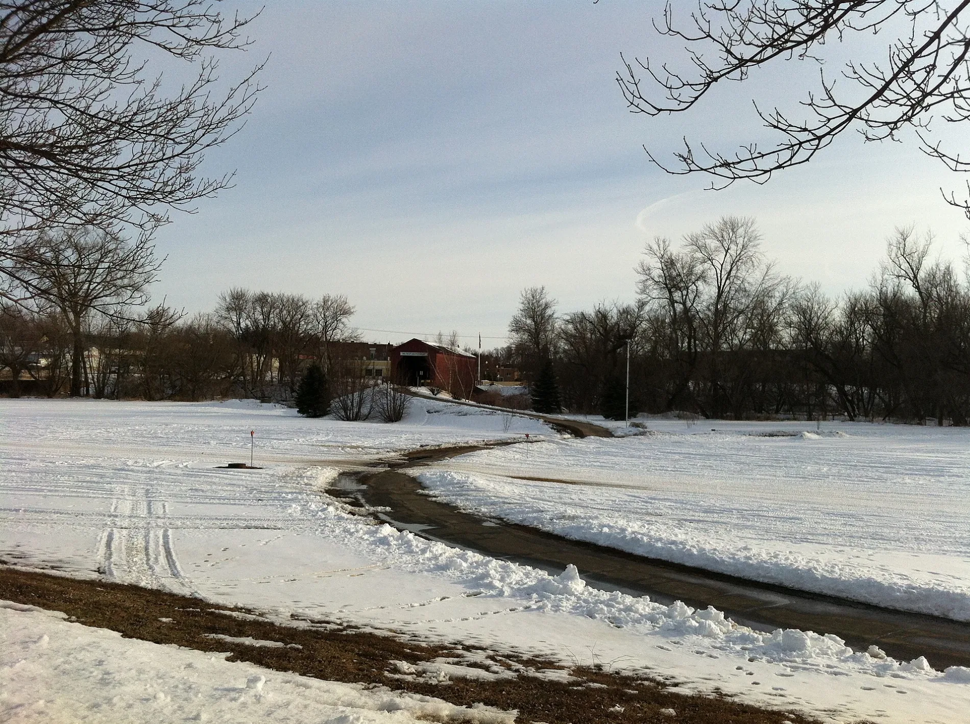
Covered BridgeCovered Bridge
0.2 mi
Goodhue Pioneer State Trail0.2 mi
County Highway 60.2 mi
Forestview Curve0.3 mi
Walnut Street0.3 mi
Main Street North0.3 mi
GPST0.3 mi
Mill StreetUSAgain Donation Box
0.3 mi
East 1st Street0.3 mi
445th Street0.3 mi
County 6 Boulevard0.3 mi
East 2nd Street0.3 mi
West 2nd StreetCasey's
0.3 mi
East Avenue0.3 mi
Sugarloaf Lane0.4 mi
West 1st Street0.4 mi
Lancaster Drive0.4 mi
West AvenueZumbrota Police Department, Zumbrota City Hall
0.4 mi
Sequoia Lane0.4 mi
Star Avenue0.4 mi
West 3rd Street0.5 mi
2nd Avenue0.5 mi
West 4th StreetZumbrota Post Office
0.5 mi
Quail Ridge Drive0.5 mi
East 4th Street0.5 mi
East 3rd StreetZumbrota
0.5 mi
Lancaster Boulevard0.5 mi
East 5th Street0.5 mi
West 5th Street0.5 mi
East 6th Street0.6 mi
3rd Avenue0.6 mi
Highland Circle0.6 mi
187th Avenue Way0.7 mi
Buildings nearby
Stary-Yerka VFW Post 57270.3 mi
Cemeteries nearby
Zumbrota Cemetery0.4 mi
Libraries nearby
Zumbrota Public Library0.3 mi
Residential areas nearby
Golden-View0.1 mi
Retail areas nearby
Downtown0.5 mi
Rivers nearby
North Fork Zumbro River0.4 mi
Streams nearby
Bitter Creek0.5 mi
Public transit map Zumbrota Legend
| Railway | |
| Bus | |
| Streetcar |
Bicycle map Zumbrota Legend
| Bike path | |
| Bike lane on roadway | |
| Cycling allowed on bus lane | |
| Bicycle street | |
| Open to cyclists | |
| Open to cyclists, good path | |
| Cycling prohibited | |
| Cobblestone |
| Long-distance bike route | (depending on scale) | |
| Long-distance bike route |
Pedestrian map Zumbrota Legend
| Path |
| Long-distance hiking trail | (depending on scale) | |
| Long-distance hiking trail | ||
| Pedestrians prohibited |