
Park Drive in Rogers, Minnesota
Park Drive in Rogers is a local road. It runs in a north-south direction starting from Sylvan Lake Road and crosses Ghostley Road, Park Reserve Road, Hassan Parkway, 123rd Avenue North, Tucker Road and Paragon Drive. This street is part of the highway "203". Park Drive also exists in Orono.
- Road Type
- local road
- Route
- north-south
Image
Gift shops
Public bookcases
Schools
Department stores
Dry cleaners
Tobacco shops
Tourist information centers
Hair salons
Places of worship
Pet stores
Tailor shops
Cafes
Beauty salons
Fast food restaurants
Self storages
Post offices
Restaurants
Cell phone stores
Streets nearby
Ghostley Road0.1 mi
Hassan Court0.1 mi
Park Reserve Road0.3 mi
123rd Avenue NorthSouth Pointe
0.3 mi
Sylvan Lake Parkway0.8 mi
Boulder Ridge Drive0.8 mi
Woodland Trail0.8 mi
Lakeview Circle0.9 mi
Deepwoods Court0.9 mi
Island View Circle0.9 mi
Sylvan Lake Road0.9 mi
Hassan Parkway1.0 mi
Tucker Road1.1 mi
Crow-Hassan Park Road1.2 mi
Laquey Avenue Northeast1.4 mi
21st Street Northeast1.4 mi
Trail Haven Lane1.5 mi
Willow Lane1.6 mi
Bechtold RoadHassan Meadow Park Welcome Sign
1.6 mi
Mardale Drive1.6 mi
Mallard Street1.6 mi
Willandale Road1.6 mi
9th Street Northeast1.6 mi
Whitetail Lane1.6 mi
Driftwood Drive1.6 mi
Eagle Creek Lane1.7 mi
Whitetail Drive1.7 mi
Territorial RoadHassan, Fletcher
1.8 mi
Red Leaf Drive1.8 mi
Mayer Court Northeast1.8 mi
Melby Avenue NortheastWaters Edge
1.9 mi
Naber Avenue Northeast1.9 mi
Campgrounds nearby
Drop-in Camping0.4 mi
Riverbend1.4 mi
Cemeteries nearby
Word of Peace Cemetery1.6 mi
Parks nearby
Meadow Lakes Estates Park0.8 mi
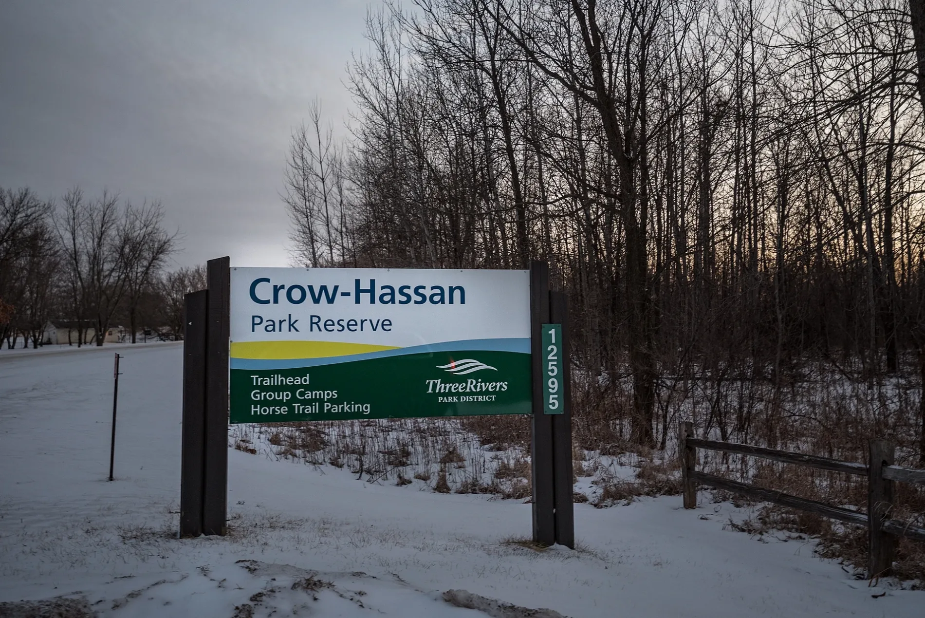
Crow-Hassan Park Reserve1.3 mi
Woodman Hall Park1.6 mi
Places of worship nearby
Living Hope Church1.6 mi
Plant nurseries nearby
Three Rivers Park District Nursery0.9 mi
Rivers nearby
Crow River1.7 mi
Town halls nearby
Hassan Rogers Historical Society1.5 mi
Undeveloped lands nearby
Island View Estates Park1.0 mi
Waters nearby
Sylvan Lake0.6 mi
Meadow Lake0.8 mi
South Twin Lake0.9 mi
North Twin Lake1.0 mi
Prarie Lake1.1 mi
Cowley Lake1.7 mi
 Public transit map Rogers Legend
| Railway | |
| Bus | |
| Streetcar |
 Bicycle map Rogers Legend
| Bike path | |
| Bike lane on roadway | |
| Cycling allowed on bus lane | |
| Bicycle street | |
| Open to cyclists | |
| Open to cyclists, good path | |
| Cycling prohibited | |
| Cobblestone |
| Long-distance bike route | (depending on scale) | |
| Long-distance bike route |
 Pedestrian map Rogers Legend
| Path |
| Long-distance hiking trail | (depending on scale) | |
| Long-distance hiking trail | ||
| Pedestrians prohibited |