
East College Drive in Marshall, Minnesota
East College Drive in Marshall is a two-lane, asphalted main road. It runs in an east-west direction and crosses Market Street, Service Road, Jewett Street, Mustang Trail, Sunrise Lane, Carrow Street, North Bruce Street, South Bruce Street, South Minnesota Street, North Hill Street, South Hill Street and North Whitney Street. It ends in a cul-de-sac. This street is part of the highways 19, 68 and Constitutional Route 14. Nearby you can find among others 2 variety stores, a hair salon, a fast food restaurant and a cafe. East College Drive also exists in Crow Wing County.
- Road Type
- main road
- Lanes
- 2
- Speed Limit
- 30 mph
- Route
- east-west
Image
Streets nearby
North 3rd Street500 ft
East Main Street0.1 mi
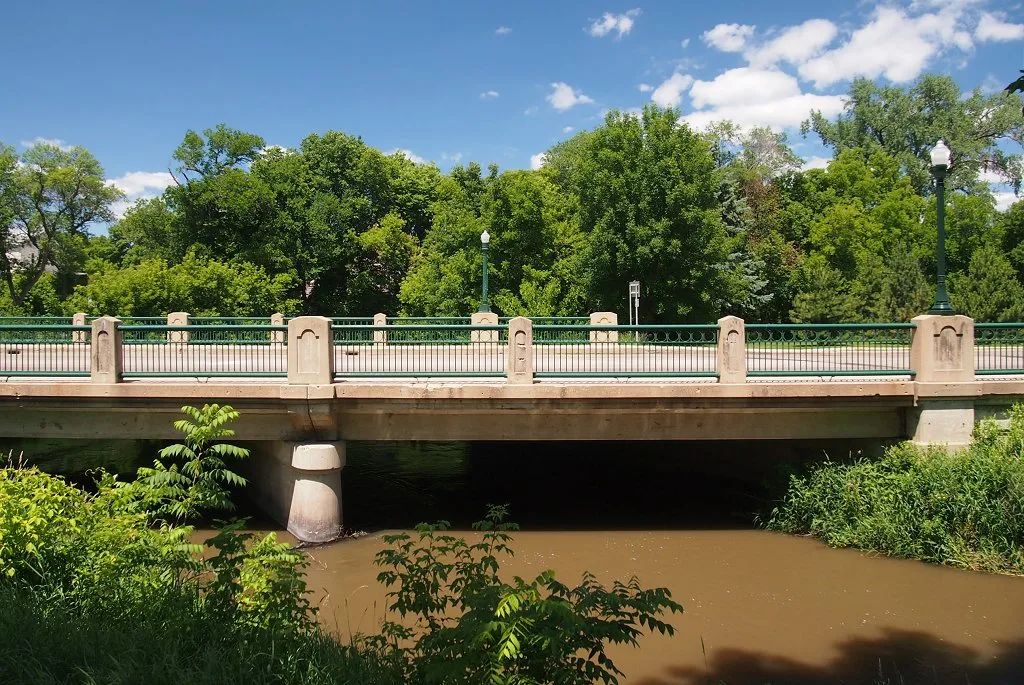
Memorial Park Bridge0.2 mi
North 4th Street0.2 mi
West Marvin Schwan Memorial Drive0.2 mi
West Main StreetCivil War Statue
0.2 mi
West Lyon StreetMarshall 6 Theatre
0.2 mi
North 5th Street0.2 mi
Antique stores nearby
The Orphanage Antiques & Gifts0.2 mi
Banks nearby
Bremer Bank300 ft
U.S. Bank0.2 mi
Wells Fargo0.2 mi
Bars nearby
Varsity Pub & Extra Innings0.1 mi
The Gambler0.2 mi
Bike shops nearby
The Bike Shop0.2 mi
Buildings nearby
Pizza Hut200 ft
3rd Street Mall500 ft
Columbia Imports0.1 mi
Marshall City Hall0.2 mi
Adult Community Center0.2 mi
Bot Appliance Electronics Furniture & More/Poppin' Tags Boutique0.2 mi
Clothing stores nearby
Kristi's For Women0.2 mi
Mister Cool's Clothing0.2 mi
Commercial buildings nearby
Downtown Plaza0.2 mi
Community centers nearby
American Legion Hall0.2 mi
Dentist's offices nearby
Dental Health Center0.1 mi
Drugstores nearby
Thrifty White Pharamcy0.2 mi
Fabric stores nearby
Fabrics Plus0.2 mi
Florists nearby
Marshall Floral0.2 mi
Furniture stores nearby
Patzer's Furniture & Appliance0.2 mi
Gift shops nearby
Treasured Times Scrapbooking and Inspirational Gifts0.2 mi
Guest houses nearby
Arbor Inn Bed & Breakfast0.3 mi
Hardware stores nearby
Patzer's Hardware Hank0.3 mi
Interior decorators nearby
Marshall Decorating Center0.2 mi
Jewelry stores nearby
Marcotte Jewelry0.2 mi
Museums nearby
Lyon County Museum0.1 mi
Music stores nearby
Last Stop CD Shop0.2 mi
Parks nearby
Memorial Park0.1 mi
Photo stores nearby
Studio B Photography0.2 mi
Places of worship nearby
Christ Evangelical Lutheran Church0.1 mi
Cornerstone United Methodist Church0.1 mi
Christ United Presbyterian Church0.2 mi
Post offices nearby
United States Post Office550 ft
Restaurants nearby
Bello Cucina0.2 mi
Wooden Nickel Burgers & Brew0.3 mi
Rivers nearby
Redwood River0.2 mi
Shoe stores nearby
Sole-Mates0.2 mi
Social facilities nearby
Heritage Pointe Senior Living0.2 mi
Supermarkets nearby
Duenas Grocery Store0.2 mi
Tobacco shops nearby
Marshall Tobacco Smoke Shop0.1 mi
 Public transit map Marshall Legend
| Railway | |
| Bus | |
| Streetcar |
 Bicycle map Marshall Legend
| Bike path | |
| Bike lane on roadway | |
| Cycling allowed on bus lane | |
| Bicycle street | |
| Open to cyclists | |
| Open to cyclists, good path | |
| Cycling prohibited | |
| Cobblestone |
| Long-distance bike route | (depending on scale) | |
| Long-distance bike route |
 Pedestrian map Marshall Legend
| Path |
| Long-distance hiking trail | (depending on scale) | |
| Long-distance hiking trail | ||
| Pedestrians prohibited |