
West College Drive Circle in Marshall, Minnesota
West College Drive Circle in Marshall is a service road. It runs in a southeast-northwest direction and ends at West College Drive, while the other end is a cul-de-sac.
- Road Type
- service road
- Route
- southeast-northwest
Image
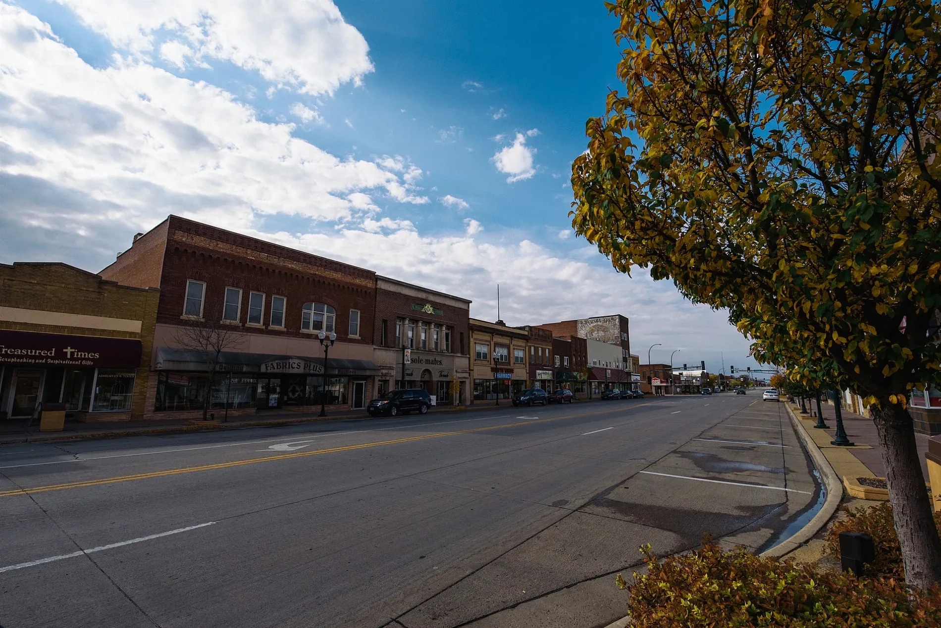
Clothing stores
Ice cream shops
Copy shops
Furniture stores
Artworks
Fast food restaurants
Hair salons
Department stores
Cafes
Craft stores
Variety stores
Movie theaters
Auto parts stores
Rental services
Hardware stores
Beauty salons
Restaurants
Streets nearby
West Marvin Schwan Memorial Drive300 ft
Memorial Park Bridge500 ft
West College Drive500 ft
South 1st Street550 ft
East Main Street0.1 mi
North 1st Street0.1 mi
Hamden Street0.1 mi
West Greeley Street0.2 mi
Marvin Schwan Memorial Drive0.2 mi
West Lyon StreetMarshall 6 Theatre
0.2 mi
East Greeley Street0.2 mi
South A Street0.2 mi
Deschepper Court0.3 mi
East Saratoga Street0.3 mi
Robert Street0.4 mi
Auto parts stores nearby
Arnold Motor Supply0.1 mi
Banks nearby
U.S. Bank400 ft
Bremer Bank0.2 mi
Bars nearby
The Gambler0.1 mi
Varsity Pub & Extra Innings0.1 mi
Bike shops nearby
The Bike Shop500 ft
Buildings nearby
Adult Community Center450 ft
Schwan's Corporate Office500 ft
Marshall Municipal Utilities500 ft
Columbia Imports0.1 mi
Taylor's Building Center0.1 mi
Marshall City Hall0.2 mi
3rd Street Mall0.2 mi
Pizza Hut0.2 mi
Car dealerships nearby
El Rancho Auto Sales0.2 mi
Clothing stores nearby
Kristi's For Women500 ft
Mister Cool's Clothing0.1 mi
Dog parks nearby
Loyalty Dog Park0.3 mi
Drugstores nearby
Thrifty White Pharamcy0.1 mi
Fabric stores nearby
Fabrics Plus0.1 mi
Fire stations nearby
Marshall Fire Department0.3 mi
Gas stations nearby
Casey's General Store0.1 mi
Gift shops nearby
Treasured Times Scrapbooking and Inspirational Gifts0.1 mi
Jewelry stores nearby
Marcotte Jewelry500 ft
Music stores nearby
Last Stop CD Shop550 ft
Parks nearby
Memorial Park500 ft
Places of worship nearby
Marshall Church of Christ0.3 mi
Restaurants nearby
Bello Cucina450 ft
Rivers nearby
Redwood River0.1 mi
Shoe stores nearby
Sole-Mates0.1 mi
Sports centers nearby
YMCA0.2 mi
Supermarkets nearby
Duenas Grocery Store0.1 mi
Tobacco shops nearby
Marshall Tobacco Smoke Shop0.1 mi
Other nearby
Saratoga Substation550 ft
 Public transit map Marshall Legend
| Railway | |
| Bus | |
| Streetcar |
 Bicycle map Marshall Legend
| Bike path | |
| Bike lane on roadway | |
| Cycling allowed on bus lane | |
| Bicycle street | |
| Open to cyclists | |
| Open to cyclists, good path | |
| Cycling prohibited | |
| Cobblestone |
| Long-distance bike route | (depending on scale) | |
| Long-distance bike route |
 Pedestrian map Marshall Legend
| Path |
| Long-distance hiking trail | (depending on scale) | |
| Long-distance hiking trail | ||
| Pedestrians prohibited |