
Jean Campbell Brooks Memorial Path in Northfield, Minnesota
Jean Campbell Brooks Memorial Path in Northfield is an asphalted footpath. It runs in a northeast-southwest direction and ends in a cul-de-sac. Nearby there is an artwork.
- Road Type
- footpath
- Route
- northeast-southwest
Image
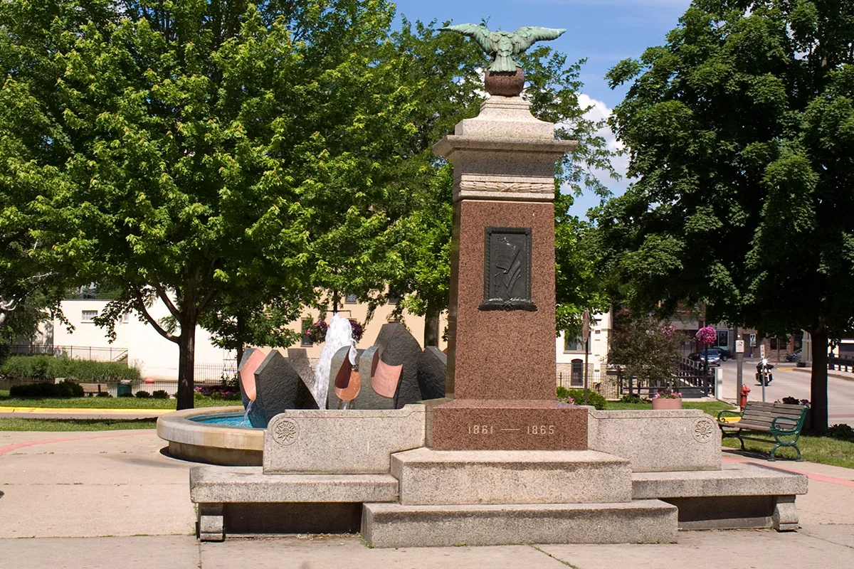
Artworks
Streets nearby
Water Street SouthNew Buffet, Northfield Dance Academy, Harvest, Lisa's Alterations & Tailloring, Aspen Limo & Car Services, Thrifty Parrot, Family Hair, Defeat of Jesse James Days Bingo, Froggy Bottom's River Suites, Jerry's Hair Shop, Threshold, Nevaeh Salon, Froggz, Eagles Club, Bridge Square Barber Shop, Cottage Tearoom & Fare
400 ft
Private RoadBread People
550 ft
Linden Street South0.1 mi
Mill Towns State Trail SpurUsed-A-Bit Shoppe, Carbone's Pizza, Clothes Closet
0.2 mi
5th Street WestRailroad Crossing, Luis Enrique Salon, The Secret Attic, Forget-Me-Not, Farmstead Bike Shop, Raven's Nest Cafe, Loon Liquors & Pizzeria
0.2 mi
4th Street West0.2 mi
Laurel CourtRedbox
0.2 mi
7th Street WestAce Hardware, Great Clips of Northfield, Wells Fargo, Habitat for Humanity ReStore, Graphic Mailbox, Northfield Farmers Market, Groundwire Coffee Roasters, Allure Salon
0.2 mi
Plum Street South0.3 mi
8th Street WestWells Fargo, Little Free Library
0.3 mi
Dahomey Avenue / Hiawatha Pioneer TrailGrism's Sweet Corn, Premier Bank Northfield, Wanbli Mitakuye Oyasin (Eagle Relatives), Flame, Holiday Stationstore, U.S. Bank
0.3 mi
Spring Street South0.3 mi
Mill Towns State TrailAllina Clinic, Little Free Library, Bridgewater Elementary School
0.3 mi
Orchard Street South0.3 mi
New mountain bike trail0.3 mi
9th Street West0.4 mi
Poplar Street South0.4 mi
Abandoned railways nearby
Chicago Great Western500 ft
Apartment buildings nearby
7th Street Apartments0.2 mi
Riverview Manor0.5 mi
Buildings nearby
Servicios Latinos Mena's0.2 mi
Buji Action Coach0.2 mi
Millstream Commons Assisted Living0.2 mi
Cafes nearby
Caribou Coffee0.1 mi
Car washes nearby
Kwik Trip Car Wash0.3 mi
Cell phone stores nearby
Verizon0.1 mi
Commercial buildings nearby
The Linder Group Insurance & Investments0.2 mi
Convenience stores nearby
Kwik Trip0.2 mi
Fast food restaurants nearby
Taco Bell450 ft
Subway0.1 mi
Fire stations nearby
Northfield Area Fire & Rescue0.1 mi
Gardens nearby
Dragonfly Garden0.2 mi
Butterfly Garden0.2 mi
Bee Garden0.2 mi
Remembrance Garden0.2 mi
Gift shops nearby
Sissy's On 7th0.2 mi
Hotels nearby
Country Inn & Suites450 ft
Kindergartens nearby
Anna's Bananas0.2 mi
Parks nearby
Ames Park200 ft
Babcock Park0.3 mi
Riverside Lions Park0.3 mi
Pharmacies nearby
Walgreens0.2 mi
Places of worship nearby
St John's Lutheran (ELCA)0.3 mi
Railways nearby
Albert Lea Subdivision0.1 mi
UP Albert Lea Subdivision0.2 mi
Retail areas nearby
Municipal Liquor Store400 ft
Shopping malls nearby
River Park Mall0.2 mi
Sports fields nearby
Defeat of Jesse James Days Rodeo0.3 mi
Supermarkets nearby
Just Food Co-Op0.1 mi
 Public transit map Northfield Legend
| Railway | |
| Bus | |
| Streetcar |
 Bicycle map Northfield Legend
| Bike path | |
| Bike lane on roadway | |
| Cycling allowed on bus lane | |
| Bicycle street | |
| Open to cyclists | |
| Open to cyclists, good path | |
| Cycling prohibited | |
| Cobblestone |
| Long-distance bike route | (depending on scale) | |
| Long-distance bike route |
 Pedestrian map Northfield Legend
| Path |
| Long-distance hiking trail | (depending on scale) | |
| Long-distance hiking trail | ||
| Pedestrians prohibited |