
2nd Street Northwest in East Grand Forks, Minnesota
2nd Street Northwest in East Grand Forks is an asphalted residential street. It runs in a Southeast direction starting from 5th Avenue NW and crosses 5th Avenue Northwest, DeMers Avenue, 3rd Avenue Northwest and River Street. It ends in a cul-de-sac. Nearby you can find a campground, a restaurant and a bakery. 2nd Street Northwest also exists in Climax, Fertile and Fosston.
- Road Type
- residential street
- Route
- southeast-northwest
Image
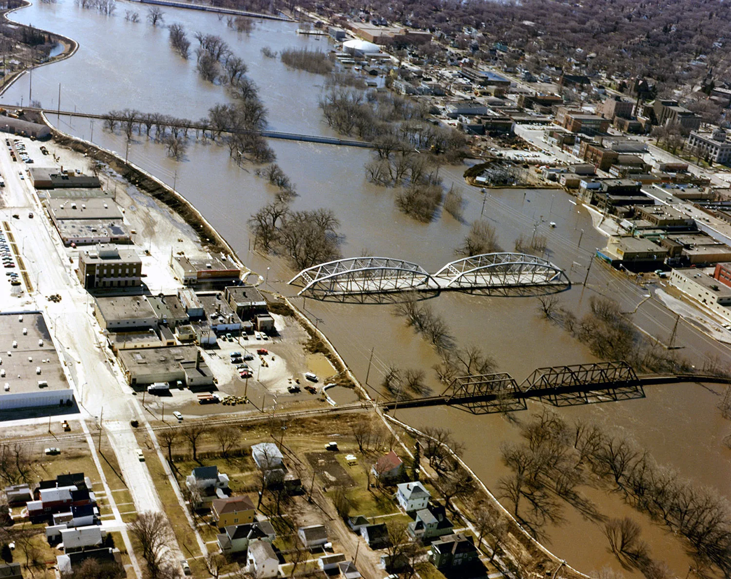
Streets nearby
River Street300 ft
1st Street Northewest0.1 mi
4th Street NorthwestUp North Pizza Pub, East Grand Forks Fire Department - Station Number One, East Grand Forks Public Library, Bully Brew Coffee House
0.2 mi
5th Avenue NW0.2 mi
1st Street Northwest0.2 mi
Hill Street Northwest0.2 mi
3rd Avenue Northwest0.2 mi
DeMers AvenueDeMers Dental, The Spud Jr, VFW Post, River Cinema 15, TNT Outfitters, Signature Jewelers
0.2 mi
6th Avenue Northwest0.2 mi
5th Street Northwest0.2 mi
Riverboat Road0.2 mi
Central Avenue NortheastDaryeel Grocerys, Dietrich Sewing Machine Co
0.3 mi
South 3rd StreetWells Fargo, Town Square Farmers Market
0.3 mi
6th Street NorthwestEast Grand Forks Police Headquarters
0.3 mi
2nd Avenue Northwest0.3 mi
Sherlock Way0.3 mi
North 3rd StreetJoe Black's, The Toasted Frog, The Hub Pub
0.3 mi
2nd Avenue North0.4 mi
7th Street Northwest0.4 mi
Sherlock Parkway0.4 mi
Burlington Drive Northwest0.4 mi
Greenway LoopJames R. Fleeker Memorial Boathouse on the Red
0.4 mi
3rd Street NorthwestSacred Heart Catholic Church, Knick Knack Paddy Whacks Card, Sublime
0.4 mi
9th Avenue Northwest0.4 mi
10th Northwest Street0.4 mi
5th Avenue Northwest0.5 mi
Gateway Drive Northwest0.5 mi
10th Avenue Northwest0.5 mi
Apartment buildings nearby
St. John's Block0.2 mi
Banks nearby
Dakota Bank Building0.3 mi
Buildings nearby
Ray's Chiropractor0.2 mi
Opticare, Forks Vision Clinic0.2 mi
Grand Forks Herald0.4 mi
Sunshine Terrace Apartments0.4 mi
Campgrounds nearby
Red River State Recreation Area0.4 mi
Hospitals nearby
Sanford Health0.4 mi
Motels nearby
Plaza Motel0.1 mi
Outdoor stores nearby
Cabela's400 ft
Parks nearby
Grand Forks Water Wheel Park0.3 mi
Sherlock Park0.5 mi
Places of worship nearby
First Lutheran Church0.2 mi
Post offices nearby
United States Postal Service550 ft
Railways nearby
BNSF Grand Forks Subdivision0.1 mi
Restaurants nearby
Bernie's450 ft
Blue Moose Bar & Grill0.1 mi
School buildings nearby
Sacred Heart School0.2 mi
Social facilities nearby
Edgewood Vista0.3 mi
Swimming pools nearby
Eastside Pool0.4 mi
Town halls nearby
East Grand Forks City Hall0.3 mi
Public transit map East Grand Forks Legend
| Railway | |
| Bus | |
| Streetcar |
Bicycle map East Grand Forks Legend
| Bike path | |
| Bike lane on roadway | |
| Cycling allowed on bus lane | |
| Bicycle street | |
| Open to cyclists | |
| Open to cyclists, good path | |
| Cycling prohibited | |
| Cobblestone |
| Long-distance bike route | (depending on scale) | |
| Long-distance bike route |
Pedestrian map East Grand Forks Legend
| Path |
| Long-distance hiking trail | (depending on scale) | |
| Long-distance hiking trail | ||
| Pedestrians prohibited |