
3rd Street West in Northfield, Minnesota
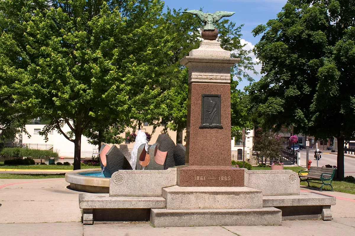
3rd Street West in Northfield is a single-lane, asphalted local road. It runs in a southeast-northwest direction starting from Water Street South and ends at Dahomey Avenue / Hiawatha Pioneer Trail. Nearby you can find 2 artworks, a hair salon, a restaurant and a fountain. The nearest bus stop is Library (about 300 m away). 3rd Street West also exists in Yellow Medicine County, Norman County, Pennington County, Nobles County and Jackson County.
- Road Type
- local road
- Lanes
- 1
- Route
- southeast-northwest
Image
Streets nearby
Dahomey Avenue550 ft
Bridge SquareNorthfield Historical Society, Popcorn, Northfield Olive Oils & Vinegars, Fine Fettle, Santa's Cottage
0.1 mi
Water Street SouthDefeat of Jesse James Days Bingo, Froggy Bottom's River Suites, Jerry's Hair Shop, Threshold, Nevaeh Salon, Froggz, Eagles Club, Bridge Square Barber Shop, Cottage Tearoom & Fare, New Buffet, Northfield Dance Academy, Harvest, Lisa's Alterations & Tailloring, Aspen Limo & Car Services, Thrifty Parrot, Family Hair
0.1 mi
Division Street SouthCakewalk, KYMN Radio, Northfield Yarn, Goodbye Blue Monday, Tom's Downtown Bicycles, Desi Diner, 2nd Street Bridge, The Sketchy Artist, Petalina, The Bearded Mermaid, Coiffure Salon, Homebody Refill Market, Content Bookstore, The Measuring Cup: A Kitchen Collection, Untamed Salon, Witt Bros. Service, Little Free Library, B & L's Pizza, In The Dog House, Family Fare, Kinship Collective Tattoo, Hogan Brothers, Antiques of Northfield, Aldrich Technology Consulting, Soulstice Boutique, Corbett Chiropractic, Hideaway, Northside Board Shop, Monarch, Bread People, Aquatic Pets, Verbena Vinyl
0.1 mi
Riverside Common EastThe Blast Northfield, The Contented Cow, 5th Street Bridge, Little Joy Coffee, Games N' Geek, Tacos El Sitio, Northfield Arts Guild
0.1 mi
2nd Street WestNorthfield, Little Free Library
0.2 mi
3rd Street EastYoung Sculptor's Project
0.2 mi
Grastvedt LaneMarketplace @416
0.2 mi
Washington Street SouthLibrary, City Hall (Washington), Little Free Library
0.2 mi
East 4th StreetDomino's, Mandarin Garden, Merchants Bank, Linda Dal Massage Therapy, Purogative, Northfield Framing & Fine Art Printing, Brunch at The Grand, Seven Gables Books & Antiques
0.2 mi
2nd Street East0.3 mi
Apartment buildings nearby
Washington Street Apartments0.2 mi
Wren House Apartments0.2 mi
Buildings nearby
Larson's Fabric Printing250 ft
SMSQ Architects300 ft
By All Means Graphics500 ft
Hilton House0.2 mi
Geffert House0.2 mi
Hunt House0.2 mi
Colwell House0.2 mi
Jewett House0.2 mi
Dow House0.2 mi
Dixon House0.2 mi
Collier House0.2 mi
Owens House0.3 mi
Prentice House0.3 mi
Dacie Moses House0.3 mi
Brooks House0.3 mi
Allen House0.3 mi
Scott House0.3 mi
Wilson House0.3 mi
Nason House0.3 mi
Clothing stores nearby
Rare Pair0.2 mi
The Goat0.2 mi
Commercial buildings nearby
Neuger Communications550 ft
Tiny's Building0.1 mi
The Lyceum Building0.2 mi
Dance schools nearby
Division Street Dance0.2 mi
Dormitories nearby
Multicultural House0.3 mi
Hotels nearby
Fairfield Inn & Suites0.1 mi
Houses nearby
The Crossing0.2 mi
Libraries nearby
Northfield Public Library0.2 mi
Parks nearby
River Walk500 ft
Places of worship nearby
First United Church of Christ0.2 mi
Restaurants nearby
Basil's Pizza250 ft
Shelters nearby
Gazebo0.1 mi
Shopping malls nearby
The Shops at 314 Division500 ft
Nutting Block0.1 mi
McClaughry Building0.2 mi
Sporting goods stores nearby
Champion Sports0.2 mi
Public transit map Northfield Legend
| Railway | |
| Bus | |
| Streetcar |
Bicycle map Northfield Legend
| Bike path | |
| Bike lane on roadway | |
| Cycling allowed on bus lane | |
| Bicycle street | |
| Open to cyclists | |
| Open to cyclists, good path | |
| Cycling prohibited | |
| Cobblestone |
| Long-distance bike route | (depending on scale) | |
| Long-distance bike route |
Pedestrian map Northfield Legend
| Path |
| Long-distance hiking trail | (depending on scale) | |
| Long-distance hiking trail | ||
| Pedestrians prohibited |