
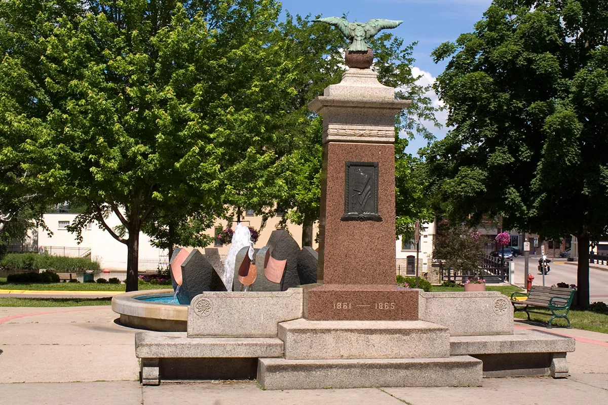
College Street South in Northfield, Minnesota
College Street South in Northfield is a two-lane, asphalted residential street. The street has sidewalks. It runs in a north-south direction starting from East 4th Street and crosses 5th Street East, 6th Street East, 7th Street East, 8th Street East, 9th Street East, Woodley Street East and Fremont Street East and ends at Sumner Street East.
- Road Type
- residential street
- Bicycle
- yes
- Lanes
- 2
- Route
- north-south
Image
Massage therapy clinics
Fast food restaurants
Rental services
Tattoo studios
Vape shops
Pet stores
Public bookcases
Bus stops
- bus lines Blue, Northfield Express
Cafes
Lottery retailers
Bookstores
Tobacco shops
Restaurants
Auto repair shops
Pharmacies
Auto parts stores
Secondhand stores
Computer stores
Streets nearby
6th Street EastFamily Fare Pharmacy, Starbucks, Betty Kaye's Smokehouse, Bissell, Sushi Kabar, Donut Dohjo, Minnesota Lottery Kiosk, Scotty's Whole Hog Barbecue
450 ft
Winona Street SouthLittle Free Library, Little Free Pantry
0.1 mi
Nevada Street SouthLittle Free Library
0.2 mi
5th Street EastDowntown Tobacco, All American E-Juice
0.2 mi
Hillside Court0.2 mi
8th Street EastMother Goose of Northfield, Little Free Library
0.2 mi
9th Street EastVoices, Thoughts, & Spirits in the Wind, Little Free Library
0.2 mi
East 4th StreetDomino's, Mandarin Garden, Merchants Bank, Linda Dal Massage Therapy, Purogative, Northfield Framing & Fine Art Printing, Brunch at The Grand, Seven Gables Books & Antiques
0.2 mi
7th Street EastNAPA Auto Parts, Cooper Tire Service
0.2 mi
Grastvedt LaneMarketplace @416
0.2 mi
Bunday Court0.2 mi
Woodley Street East0.3 mi
Union Street South0.3 mi
Shops nearby
Willie's Shoe Services0.2 mi
Apartment buildings nearby
Union Street Apartments0.1 mi
Fifth Street Lofts0.2 mi
Wren House Apartments0.2 mi
Banks nearby
Community National Bank0.2 mi
Buildings nearby
Pete's Chiropractic0.2 mi
Imminent Brewing0.2 mi
Weitz Center for Creativity0.2 mi
Northfield Insurance0.2 mi
Page House0.3 mi
Douglas House0.3 mi
Parish House0.3 mi
Clothing stores nearby
The Goat0.2 mi
Rare Pair0.3 mi
Commercial buildings nearby
The Lyceum Building0.3 mi
Dance schools nearby
Division Street Dance0.2 mi
Event venues nearby
Armory Square Event Center0.2 mi
Garden centers nearby
Paisley Gardens0.2 mi
Gift shops nearby
Mercado Local0.2 mi
Houses nearby
Moon House0.1 mi
Tree House0.1 mi
Nutting House0.3 mi
Huts nearby
Warming Hut0.2 mi
Meadows nearby
Native Prairie Planting0.2 mi
Parks nearby
Washington Park0.2 mi
Central Park0.3 mi
Places of worship nearby
Cannon Valley Friends Meeting0.2 mi
All Saints Episcopal Church0.2 mi
Trinity Lutheran Church0.2 mi
First United Church of Christ0.2 mi
Northfield Community Church0.3 mi
Restaurants nearby
Reunion0.2 mi
Shopping malls nearby
McClaughry Building0.2 mi
Sporting goods stores nearby
Champion Sports0.2 mi
Supermarkets nearby
Family Fare0.2 mi
Town halls nearby
Northfield City Hall0.2 mi
Public transit map Northfield Legend
| Railway | |
| Bus | |
| Streetcar |
Bicycle map Northfield Legend
| Bike path | |
| Bike lane on roadway | |
| Cycling allowed on bus lane | |
| Bicycle street | |
| Open to cyclists | |
| Open to cyclists, good path | |
| Cycling prohibited | |
| Cobblestone |
| Long-distance bike route | (depending on scale) | |
| Long-distance bike route |
Pedestrian map Northfield Legend
| Path |
| Long-distance hiking trail | (depending on scale) | |
| Long-distance hiking trail | ||
| Pedestrians prohibited |