
Piney Pinecreek Border Airport in Roseau, MN 56751
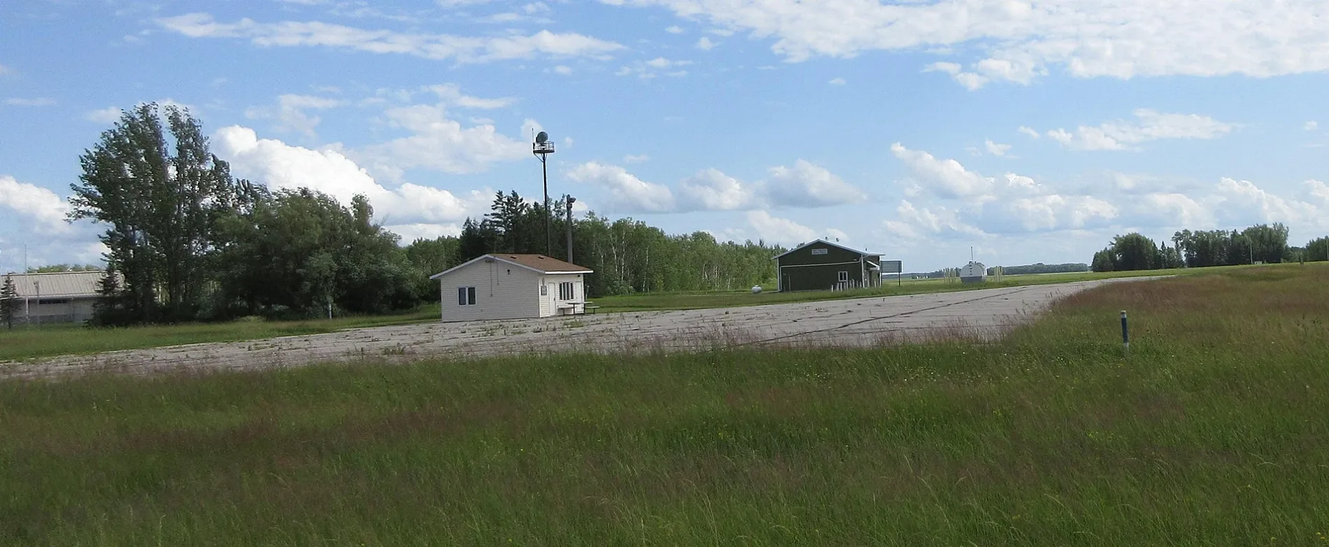
Piney Pinecreek Border Airport in Roseau, MN 56751 (Roseau County) is an airfield (ICAO: K48Y). Piney Pinecreek Border Airport is also known as K48Y. Ⓦ.
Streets nearby
State Highway 89Torfin, Ross
0.5 mi
Roy Rice0.5 mi
Provincial Trunk Highway 89Piney
1.3 mi
410th Street1.3 mi
295th Avenue1.4 mi
400th StreetPinecreek
1.6 mi
County Road 31.7 mi
410 Street1.9 mi
290th Avenue2.0 mi
390th Street2.1 mi
310th Avenue2.6 mi
320th Avenue3.1 mi
Dike Road3.3 mi
380th Street4.0 mi
370th Street4.1 mi
Forestry Road 64.4 mi
270th Avenue4.6 mi
Forestry Road 2B4.9 mi
County Road 1125.0 mi
349th Avenue5.4 mi
Piney Drive West5.4 mi
Blueberry Street5.7 mi
County Road 1155.7 mi
Forestry Road 25.8 mi
360th Street5.9 mi
Buildings nearby
United States Customs and Border Protection-Pine Creek0.5 mi
Canada Border Services Agency0.5 mi
Ditches nearby
County Ditch Number Seventeen2.8 mi
Pine Creek Ditch3.5 mi
Places of worship nearby
International Christian Fellowship Church0.6 mi
Rivers nearby
Roseau River5.7 mi
Streams nearby
Pine Creek5.5 mi
| Elevation | 1082 |
|---|---|
| Located in | Roseau County |
| Country | United States, Canada |
 Public transit map Roseau County Legend
| Railway | |
| Bus | |
| Streetcar |
 Bicycle map Roseau County Legend
| Bike path | |
| Bike lane on roadway | |
| Cycling allowed on bus lane | |
| Bicycle street | |
| Open to cyclists | |
| Open to cyclists, good path | |
| Cycling prohibited | |
| Cobblestone |
| Long-distance bike route | (depending on scale) | |
| Long-distance bike route |
 Pedestrian map Roseau County Legend
| Path |
| Long-distance hiking trail | (depending on scale) | |
| Long-distance hiking trail | ||
| Pedestrians prohibited |