
7 1/2 Street East in Browerville, Minnesota
7 1/2 Street East in Browerville is a residential street and it runs in an east-west direction starting from Linden Avenue and ends at North Myrtle Avenue.
- Road Type
- residential street
- Route
- east-west
Image
Streets nearby
East 7th Street450 ft
Creamery Avenue North550 ft
North Myrtle Avenue550 ft
Linden Avenue550 ft
East 6th StreetBrowerville
0.1 mi
North Creamery Street0.1 mi
East 8th Street0.1 mi
South Myrtle Avenue0.1 mi
East 5th Street0.2 mi
North Main Street0.2 mi
North Gillis Avenue0.3 mi
East 4th Street0.3 mi
West 5th Street0.3 mi
North Perry Avenue0.3 mi
West 7th Street0.3 mi
West 9th Street0.3 mi
West 4th Street0.3 mi
Railroad Avenue0.3 mi
South Gillis Avenue0.3 mi
East 3rd Street0.4 mi
West 3rd Street0.4 mi
South Main Street0.4 mi
County Road 140.4 mi
East 2nd Street0.4 mi
Auto parts stores nearby
Bonnevilles Unlimited0.3 mi
Auto repair shops nearby
Big Boyz Truck & Tire0.1 mi
Duane's Auto Services Center0.3 mi
Banks nearby
American Heritage National Bank0.2 mi
Buildings nearby
Land O'Lakes Inc550 ft
Browerville Blade0.1 mi
Butcher shops nearby
Konetzko's Meat Market0.2 mi
Cafes nearby
Cafe of Browerville Inc0.2 mi
Car washes nearby
Spinny's Sparkling Car Wash And Laundromat0.3 mi
Churches nearby
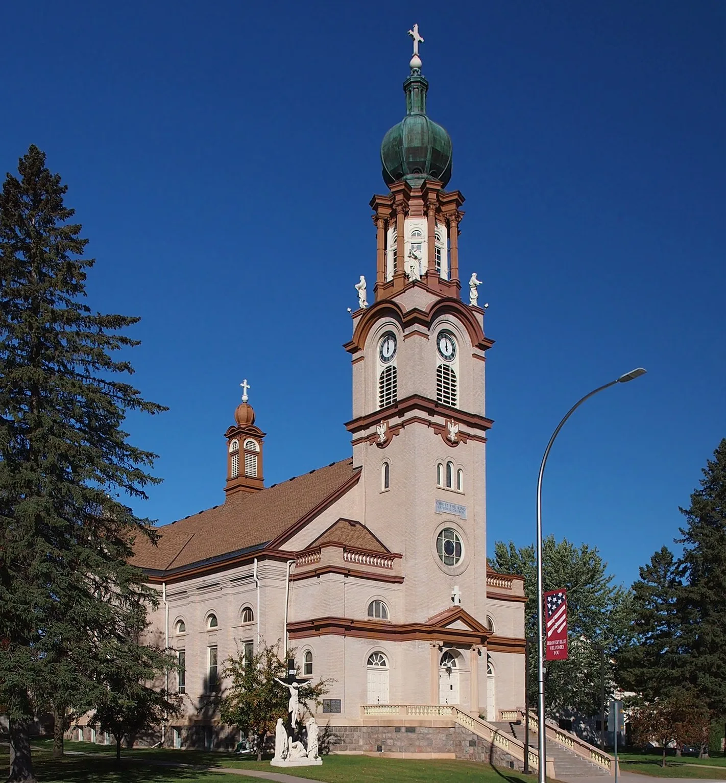
Christ the King Catholic Church0.2 mi
Clothing stores nearby
Rank Rags0.2 mi
Community centers nearby
Browerville Community Center0.2 mi
Fire stations nearby
Browerville Fire Department0.2 mi
Gas stations nearby
Casey's General Store0.2 mi
Hardware stores nearby
Browerville Hardware & Appliance0.2 mi
Liquor stores nearby
Browerville Liquor Store0.2 mi
Police stations nearby
Browerville Police Department0.2 mi
Post offices nearby
Browerville Post Office0.2 mi
Restaurants nearby
Browerville VFW0.1 mi
Streams nearby
Harris Creek0.3 mi
Drayer Creek0.3 mi
Supermarkets nearby
Steve's Country Foods0.2 mi
Town halls nearby
Browerville City Hall0.2 mi
Variety stores nearby
Farmers Co-Op Feed Store0.2 mi
The Gallery Craft Store0.2 mi
Public transit map Browerville Legend
| Railway | |
| Bus | |
| Streetcar |
Bicycle map Browerville Legend
| Bike path | |
| Bike lane on roadway | |
| Cycling allowed on bus lane | |
| Bicycle street | |
| Open to cyclists | |
| Open to cyclists, good path | |
| Cycling prohibited | |
| Cobblestone |
| Long-distance bike route | (depending on scale) | |
| Long-distance bike route |
Pedestrian map Browerville Legend
| Path |
| Long-distance hiking trail | (depending on scale) | |
| Long-distance hiking trail | ||
| Pedestrians prohibited |