
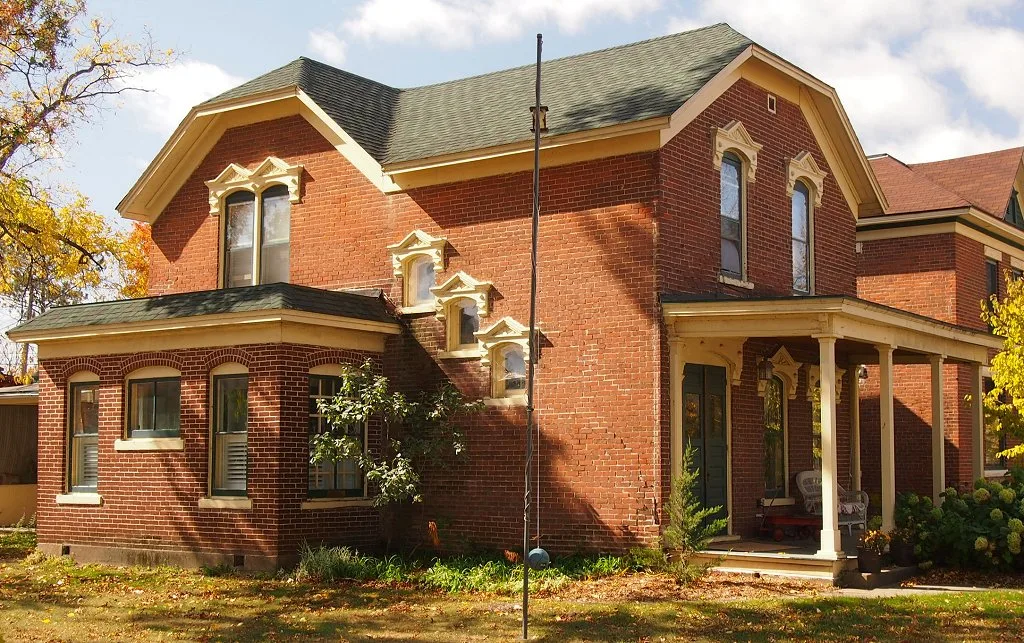
9th Street East in Wabasha, Minnesota
9th Street East in Wabasha is a residential street. It runs in an east-west direction starting from Pembroke Avenue and crosses Bailey Avenue, Franklin Avenue, Jefferson Avenue, Broadway Avenue, Milligan Avenue, Pierce Avenue and Washington Avenue and ends at Hiawatha Drive East. 9th Street East also exists in Norman County, Pennington County, Renville County, Dakota County and McLeod County.
- Road Type
- residential street
- Route
- east-west
Image
Libraries
Gas stations
Police stations
Fire stations
Restaurants
Cafes
Fast food restaurants
Streets nearby
Milligan Avenue250 ft
8th Street East400 ft
10th Street450 ft
Broadway Avenue450 ft
Hiawatha Drive EastWabasha Police Department, Wabasha City Hall
0.1 mi
11th Street0.1 mi
Pierce Avenue0.2 mi
12th Street East0.2 mi
3rd Street East0.2 mi
Rustic Lane0.2 mi
Washington Avenue0.3 mi
Jefferson Avenue0.3 mi
Circle Drive0.3 mi
2nd Street East0.3 mi
Franklin Avenue0.3 mi
Main Street EastStacy's Kitchen, Wabasha Post Office
0.3 mi
Market Street East0.3 mi
Augustin Avenue0.3 mi
8th Street West0.4 mi
Bailey Avenue0.4 mi
Marina Drive0.4 mi
14th Street East0.4 mi
4th Grant Boulevard East0.4 mi
14th Court0.4 mi
Idle Hour Court0.4 mi
Market Street West0.4 mi
4th Grant Boulevard West0.4 mi
Alleghany AvenueDick's SUPERVALU, Wabasha Public Library
0.5 mi
Angelique Street0.5 mi
3rd Street West0.5 mi
2nd Street West0.5 mi
Pembroke Avenue0.5 mi
Lawrence Boulevard East0.5 mi
Lura Ingalls Wilder Historic Highway0.5 mi
Main Street WestWabasha
0.5 mi
Dugan Avenue0.6 mi
17th Street0.6 mi
Lawrence Boulevard0.6 mi
4th Street East0.6 mi
Walnut Avenue0.6 mi
Bridge AvenueThe Eagle's Nest
0.6 mi
Lawrence Boulevard West0.7 mi
Attractions nearby
National Eagle Center0.5 mi
Courthouses nearby
Wabasha County Courthouse0.2 mi
Fast food restaurants nearby
Subway0.3 mi
Gas stations nearby
Kwik Trip0.4 mi
Public buildings nearby
Wabasha County Criminal Justice Center0.7 mi
Railways nearby
River Subdivision0.6 mi
School buildings nearby
St Felix Catholic School0.4 mi
Public transit map Wabasha Legend
| Railway | |
| Bus | |
| Streetcar |
Bicycle map Wabasha Legend
| Bike path | |
| Bike lane on roadway | |
| Cycling allowed on bus lane | |
| Bicycle street | |
| Open to cyclists | |
| Open to cyclists, good path | |
| Cycling prohibited | |
| Cobblestone |
| Long-distance bike route | (depending on scale) | |
| Long-distance bike route |
Pedestrian map Wabasha Legend
| Path |
| Long-distance hiking trail | (depending on scale) | |
| Long-distance hiking trail | ||
| Pedestrians prohibited |