
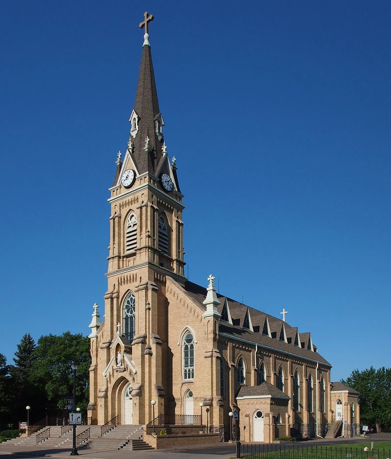
Balsam Avenue East in St. Michael, Minnesota
Balsam Avenue East in Saint Michael is an asphalted residential street. It runs in an east-west direction and ends at 2nd Street Southeast, while the other end is a cul-de-sac.
- Road Type
- residential street
- Route
- east-west
Image
Pharmacies
Jewelry stores
Recycling stations
Streets nearby
Hillcrest Drive Southeast150 ft
Saint Michael Parkway EastWalgreens
300 ft
1st Street Southeast500 ft
Chestnut Avenue Southeast0.1 mi
Creekside Bay Southeast0.1 mi
4th Street Southeast0.1 mi
2nd Street Southeast0.1 mi
2nd Street Northeast0.2 mi
Lincoln Drive Northeast0.2 mi
Ash Avenue Northeast0.2 mi
Laura Lane Southeast0.2 mi
1st Street Northeast0.2 mi
Creekside Court Southeast0.2 mi
Overlook Circle Southeast0.3 mi
Paradise Drive Southeast0.3 mi
Hillcrest Drive0.3 mi
Summit Drive Northeast0.3 mi
3rd Street Northeast0.3 mi
Creekside Drive Southeast0.3 mi
Meadowlark Road SoutheastColonial Jewelers
0.4 mi
Edgewood Drive NortheastNew Creations Child Care & Learning Center | St. Michael
0.4 mi
Town Center Drive0.4 mi
Butternut Lane Southeast0.4 mi
Orleans Drive NortheastNorthwest Bible Church
0.4 mi
Auto parts stores nearby
O'Reilly Auto Parts0.2 mi
NAPA Auto Parts0.2 mi
Auto repair shops nearby
Berning's Auto Repair0.4 mi
Bars nearby
Big Al's Bowling & Bar0.3 mi
Bowling alleys nearby
River Lanes0.3 mi
Cafes nearby
Sadie's Cafe0.3 mi
Car washes nearby
Speedy Wash0.3 mi
Coffee shops nearby
Dunn Brothers450 ft
Commercial buildings nearby
Total Control Driving Academy LLC0.3 mi
St. Michael Mall0.3 mi
Delis nearby
Dehmer's Meat Market0.2 mi
Dentist's offices nearby
St. Michael Dental Center0.2 mi
Drugstores nearby
Walgreens0.1 mi
Fast food restaurants nearby
Domino's0.1 mi
DQ Grill & Chill0.2 mi
McDonald's0.3 mi
Subway0.3 mi
Hair salons nearby
Tangles Salon0.1 mi
Central Hair Design0.2 mi
Hardware stores nearby
Hardware Hank0.2 mi
Post offices nearby
St. Michael Post Office0.3 mi
Restaurants nearby
HomeGrown0.1 mi
Liberty Restaurant and Bar0.1 mi
Pizza Hut0.3 mi
Retail buildings nearby
St. Michael Boutique0.3 mi
 Public transit map Saint Michael Legend
| Railway | |
| Bus | |
| Streetcar |
 Bicycle map Saint Michael Legend
| Bike path | |
| Bike lane on roadway | |
| Cycling allowed on bus lane | |
| Bicycle street | |
| Open to cyclists | |
| Open to cyclists, good path | |
| Cycling prohibited | |
| Cobblestone |
| Long-distance bike route | (depending on scale) | |
| Long-distance bike route |
 Pedestrian map Saint Michael Legend
| Path |
| Long-distance hiking trail | (depending on scale) | |
| Long-distance hiking trail | ||
| Pedestrians prohibited |