
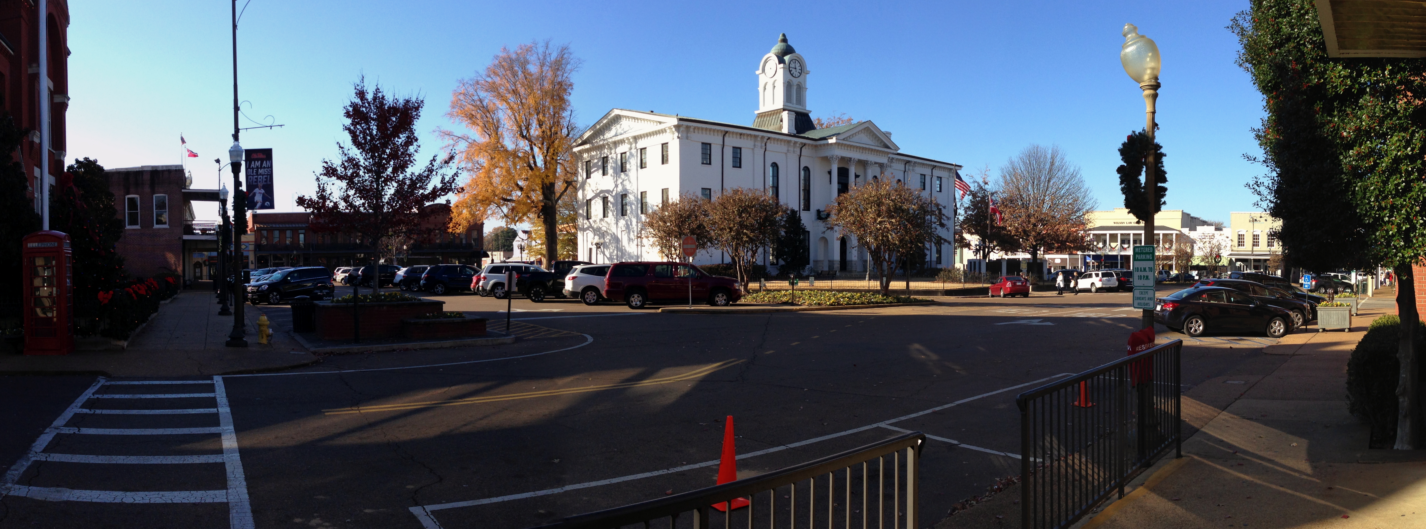
North 16th Street in Oxford, Mississippi
North 16th Street in Oxford is a single-lane residential street. It runs in a north-south direction starting from Avent Street and crosses Chandler Avenue and Jefferson Avenue and ends at Madison Avenue. Nearby there is a place of worship. North 16th Street also exists in Lowndes County.
- Road Type
- residential street
- Lanes
- 1
- Speed Limit
- 20 mph
- Route
- north-south
Image
Places of worship
Streets nearby
Madison Avenue450 ft
North 15th Street0.1 mi
North 14th StreetMercedes Specialist of Oxford
0.2 mi
Penny Lane0.2 mi
South 14th StreetSneed's Ace Hardware
0.2 mi
Van Buren AvenueFirst Baptist Church, Off Square Books, The Frame Up-Basement Gallery, A C's Bed & Bath Co, Tallahatchie Gourmet, Bottletree Bakery, Southside Gallery, Old Venice Pizza, McEwen's, Hemline, South Depot Taco Shop, CVM Salon, Belles & Beaus, The Library, Square Pizza, My Favorite Shoes, CVM, Bar Muse, City Grocery
0.2 mi
North 13th StreetSomething Southern Inc
0.2 mi
Tyler Cove0.2 mi
South 17th Street0.2 mi
Adams Avenue0.2 mi
South 16th StreetNail Thology
0.2 mi
South 15th Street0.2 mi
Jefferson AvenueLa Rousse
0.2 mi
Kimmons Drive0.3 mi
University AvenueWashboard Coin Laundry, Pitner Office Supply, Oxford Climate Safe Storage, Oxford Bridal, Trophy Shop, Luxe, Origin Bank, Headquarters, Dunkin', Nightbird, Walgreens, Oxford-University United Methodist Church, Subway, China Royal
0.3 mi
Chandler Avenue0.3 mi
Oxford Apts Cove0.4 mi
Bramlett BoulevardWalk-On's Sports Bistreaux
0.4 mi
Dickinson Lane0.4 mi
Combs Street0.4 mi
Willow Cove0.4 mi
Allotment gardens nearby
Oxford Communtiy Garden0.4 mi
Auto parts stores nearby
AutoZone0.3 mi
Buildings nearby
Wilson Valuation & Advisory0.2 mi
Oxford Park Commission0.2 mi
Safe & Sound Home Care0.3 mi
Alfa Insurance0.3 mi
Unique Furnishings0.3 mi
Churches nearby
Antioch Primitive Baptist Church0.2 mi
Clothing stores nearby
New York Fashion0.3 mi
Convenience stores nearby
Kangaroo Express0.3 mi
Fast food restaurants nearby
Burger King0.3 mi
Taco Bell0.4 mi
Fitness centers nearby
Oxford CrossFit0.3 mi
Team RA Martial Arts0.3 mi
Florists nearby
Bette's Flowers0.4 mi
Furniture stores nearby
Provision Oxford0.3 mi
Hotels nearby
Graduate by Hilton Oxford0.2 mi
Ole Miss Motel0.3 mi
Libraries nearby
Lafayette County & Oxford Public Library0.3 mi
Museums nearby
L.Q.C. Lamar House Museum0.3 mi
Parks nearby
Oxford Skate Park0.3 mi
Pharmacies nearby
Chaney's Pharmacy0.3 mi
Residential buildings nearby
Canterbury Crest Apartments0.2 mi
Restaurants nearby
Community Donuts0.3 mi
School buildings nearby
Oxford School District administration0.4 mi
Schools nearby
Oxford Middle School0.4 mi
Streams nearby
Burney Branch0.4 mi
Tattoo studios nearby
Opus Land0.3 mi
Public transit map Oxford Legend
| Railway | |
| Bus | |
| Streetcar |
Bicycle map Oxford Legend
| Bike path | |
| Bike lane on roadway | |
| Cycling allowed on bus lane | |
| Bicycle street | |
| Open to cyclists | |
| Open to cyclists, good path | |
| Cycling prohibited | |
| Cobblestone |
| Long-distance bike route | (depending on scale) | |
| Long-distance bike route |
Pedestrian map Oxford Legend
| Path |
| Long-distance hiking trail | (depending on scale) | |
| Long-distance hiking trail | ||
| Pedestrians prohibited |