
Reese Street in Tupelo, Mississippi
Reese Street in Tupelo is an asphalted residential street. The street has bike paths (bike lane). It crosses Adams Street and Elvis Presley Drive and ends at Berry Street and comes from North Veterans Boulevard. Reese Street also exists in Pike County.
- Bike Lane
- lane
- Road Type
- residential street
Image
Restaurants
Cannabis dispensaries
Vending machines
Hotels
Bars
Post offices
Places of worship
Cemeteries
Tobacco shops
Fast food restaurants
Schools
Banks
Attractions
Gas stations
Artworks
Clothing stores
Streets nearby
Elvis Presley DriveForest Hills, Old Saltillo Road Church
450 ft
Adams StreetFirst Assembly of God Church
0.1 mi
Kelly Street0.1 mi
North Veterans Boulevard0.2 mi
Berry Street0.2 mi
Music Bend Trail0.2 mi
Briar Ridge Road0.2 mi
Shady Lake DriveBurn 1 Meds
0.2 mi
Wayside StreetPost Estates, East Main Church of Christ, Lawhon Junior High School
0.2 mi
Blue Bird Drive0.3 mi
Chism Trail0.3 mi
Veterans TrackF-105 Thunderchief
0.3 mi
Duncan Street0.4 mi
Ripple RoadShady Acres
0.4 mi
Shady Acres Road0.4 mi
Morningside Drive0.4 mi
Thrush Hollow Road0.4 mi
Martin Hill Drive0.4 mi
College Street0.4 mi
Hankins Street0.5 mi
Eastcrest Drive0.5 mi
Rebecca Street0.6 mi
Willow Road0.6 mi
Arcadia CircleOakcliff Villas
0.6 mi
Kingsley Drive0.6 mi
Mimosa Drive0.6 mi
Lake Street0.7 mi
Martin Street0.7 mi
Eastlake Drive0.7 mi
Rutland DriveRebecca Heights
0.7 mi
Rachel StreetLinwood Subdivision
0.7 mi
South Veterans Boulevard0.7 mi
Hamm StreetEastwood Place
0.7 mi
Payne Street0.7 mi
High Street0.8 mi
East Main StreetDairy Kream, Subway, Phillips 66, Savings Gas, BancorpSouth, Rosies Cupcakes, Elvis, Hotel Tupelo, The Grill
0.8 mi
Brown Street0.9 mi
Buildings nearby
Saint Mark United Methodist Church150 ft
Chapels nearby
Elvis Presley Memorial Chapel500 ft
Churches nearby
Elvis' Childhood Church500 ft
Houses nearby
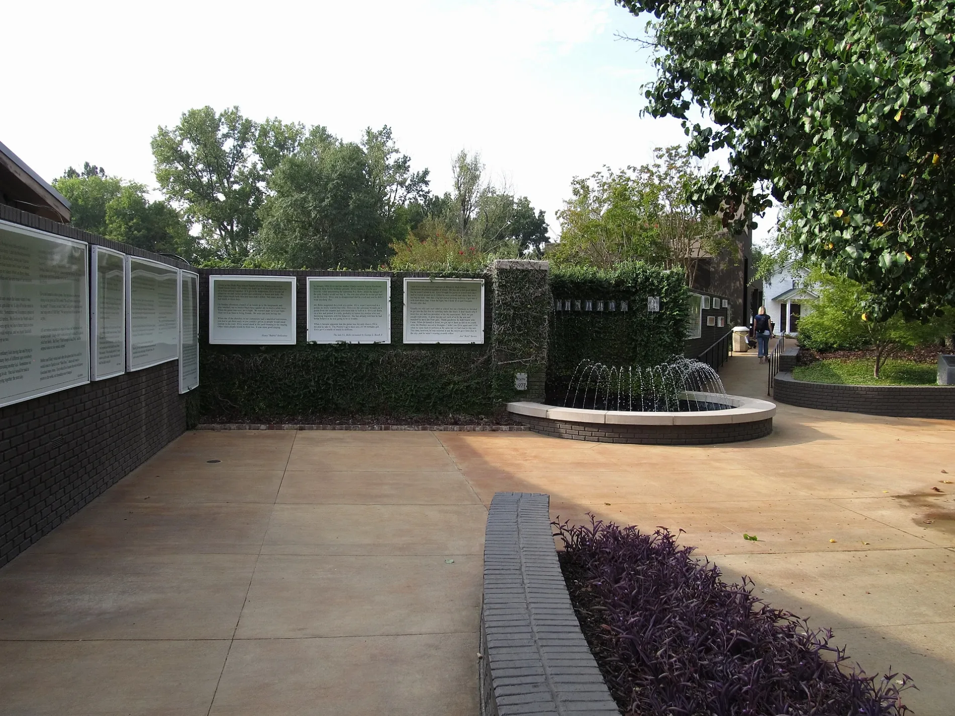
Elvis Presley Birthplace300 ft
Motels nearby
All American Inn Tupelo0.5 mi
Museums nearby
Elvis Presley Birthplace & Museum400 ft
Parks nearby
Veterans Park0.6 mi
Pharmacies nearby
Tupelo Family Pharmacy0.3 mi
Places of worship nearby
East Heights Baptist Church0.3 mi
Variety stores nearby
Dollar Tree0.3 mi
Dollar General0.3 mi
Waters nearby
Veterans Lake0.3 mi
 Public transit map Tupelo Legend
| Railway | |
| Bus | |
| Streetcar |
 Bicycle map Tupelo Legend
| Bike path | |
| Bike lane on roadway | |
| Cycling allowed on bus lane | |
| Bicycle street | |
| Open to cyclists | |
| Open to cyclists, good path | |
| Cycling prohibited | |
| Cobblestone |
| Long-distance bike route | (depending on scale) | |
| Long-distance bike route |
 Pedestrian map Tupelo Legend
| Path |
| Long-distance hiking trail | (depending on scale) | |
| Long-distance hiking trail | ||
| Pedestrians prohibited |