
Martin Luther King Jr Boulevard in Picayune, Mississippi
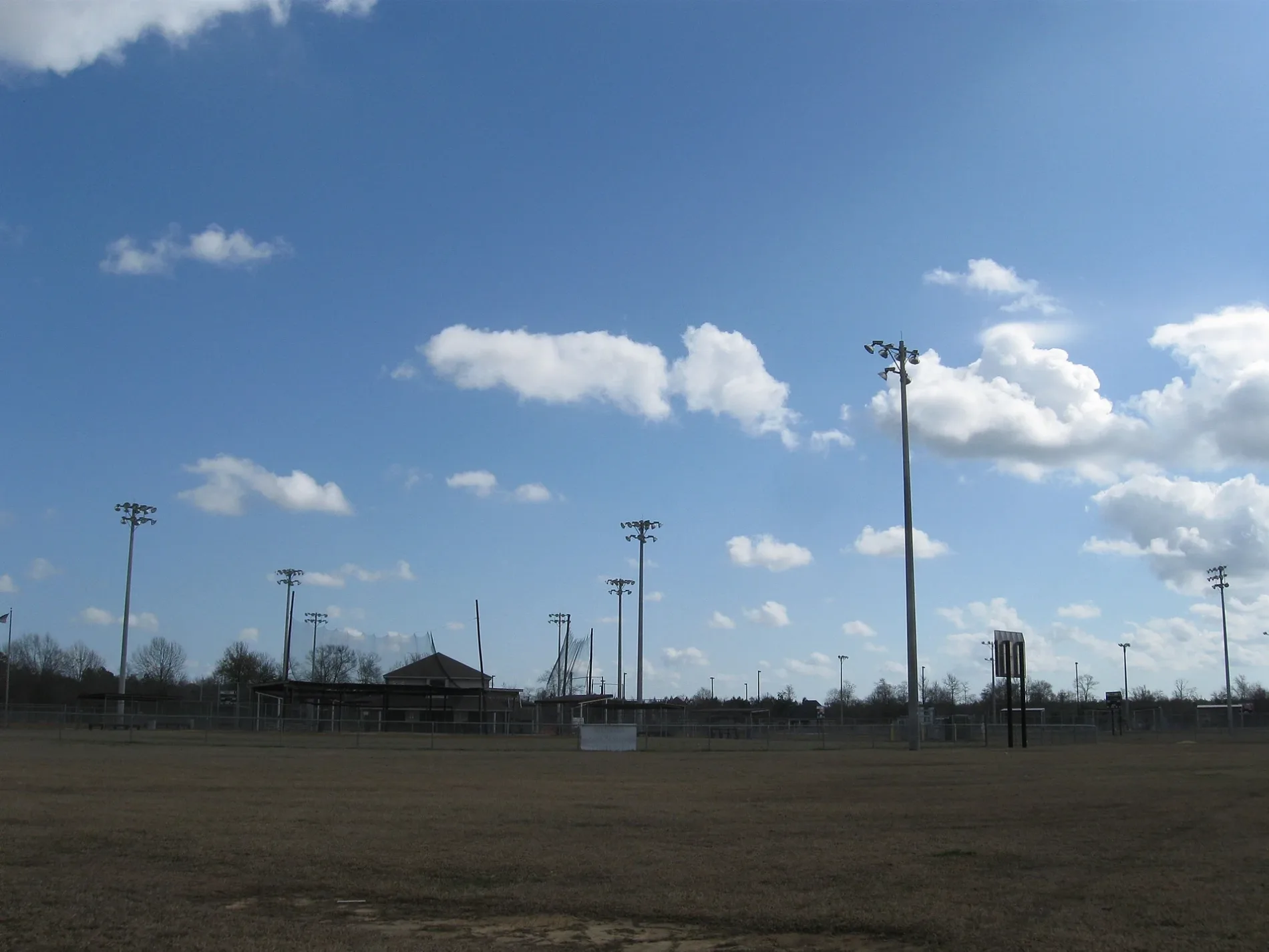
Martin Luther King Jr Boulevard in Picayune is a residential street. The road consists of two separate carriageways. It runs in a southeast-northwest direction and continues as Meadowgreen Boulevard. It crosses Street A, Witthauer Street, Merrydale Drive, Kingsway Drive, Betsy Drive and Clover Circle. Martin Luther King Jr Boulevard also exists in Warren County.
- Road Type
- residential street
- Route
- southeast-northwest
Image
Pharmacies
Car dealerships
Clinics
Secondhand stores
Department stores
Places of worship
Banks
Restaurants
Convenience stores
Supermarkets
Farm supply stores
Fast food restaurants
Streets nearby
Meadowgreen Boulevard0.1 mi
Witthauer Street0.3 mi
Street A0.3 mi
Street B0.3 mi
Kingsway Drive0.4 mi
Merrydale Drive0.4 mi
Fern Drive0.5 mi
Flattop Avenue0.5 mi
Westonia Street0.5 mi
South Main StreetPicayune, CIty Rexall, Picayune Police Department
0.5 mi
Brookdale Drive0.5 mi
Hunt Street0.5 mi
Pinewood Drive0.5 mi
Jones Street0.5 mi
Proctor Street0.5 mi
Bruce StreetBuddy Hop
0.6 mi
Jackson Landing RoadGreater Emmanuel Baptist Church
0.6 mi
Clover Circle0.6 mi
Betsy Drive0.6 mi
Memorial BoulevardTokyo Grill & Sushi, Picayune Urgent Care, McDonald's, Walgreens, Bank Plus, Dub Herring/ Paw Paw's Camper City
0.6 mi
South Haugh Avenue0.6 mi
Telly RoadRite Aid, robinson brothers, itchaban
0.6 mi
Southside Street0.6 mi
Jarrell Street0.6 mi
Smith Street0.6 mi
Doss Street0.6 mi
Taylor Street0.6 mi
Culpepper Street0.7 mi
Weems StreetPleasant Valley Baptist Church
0.7 mi
Maxwell Street0.7 mi
South Harvey AvenueRestoration Full Gospel Ministries
0.7 mi
Seal Streetsmoothie king, Jacob's Well, Cales
0.7 mi
Corinth Street0.8 mi
Cedar Grove Avenue0.8 mi
Auto repair shops nearby
American Glass Service0.4 mi
Community centers nearby
CCHY0.2 mi
Manna Ministries0.2 mi
Fast food restaurants nearby
Logan's Famous Chicken and Tenders0.5 mi
Wendy's0.5 mi
Taco Bell0.7 mi
Furniture stores nearby
James Furniture0.6 mi
Museums nearby
Teddy Bear Museum0.4 mi
Places of worship nearby
Trinity Outreach Ministries0.6 mi
Playgrounds nearby
Splash Pad0.4 mi
Railways nearby
NS NO&NE District50 ft
Norfolk Southern0.2 mi
Restaurants nearby
Pizza Hut0.5 mi
Streams nearby
Second Alligator Branch0.6 mi
Alligator Branch0.8 mi
Public transit map Picayune Legend
| Railway | |
| Bus | |
| Streetcar |
Bicycle map Picayune Legend
| Bike path | |
| Bike lane on roadway | |
| Cycling allowed on bus lane | |
| Bicycle street | |
| Open to cyclists | |
| Open to cyclists, good path | |
| Cycling prohibited | |
| Cobblestone |
| Long-distance bike route | (depending on scale) | |
| Long-distance bike route |
Pedestrian map Picayune Legend
| Path |
| Long-distance hiking trail | (depending on scale) | |
| Long-distance hiking trail | ||
| Pedestrians prohibited |