
Hidden Meadows Road in Lee's Summit, Missouri
Hidden Meadows Road in Lee's Summit is a residential street. It runs in a southeast-northwest direction starting from Northeast Hidden Meadow Drive and ends at Northeast Anderson Drive.
- Road Type
- residential street
- Route
- southeast-northwest
Image
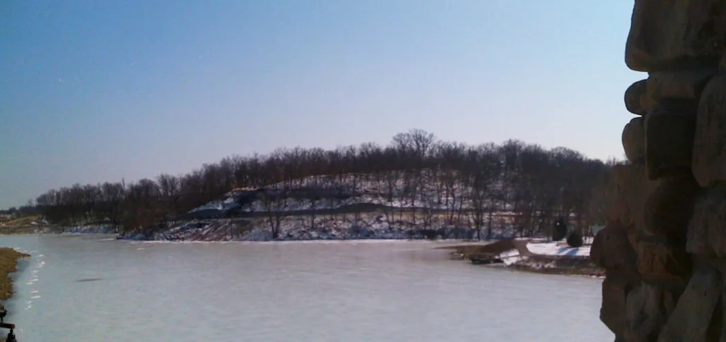
Dentist offices
ATMs
Social facilities
Pet stores
Fabric stores
Tourist information centers
Restaurants
Doctor's offices
Parking spaces
Post offices
Clinics
Campgrounds
Fast food restaurants
Bars
Beauty salons
Hair salons
Outdoor stores
Streets nearby
Northeast Hidden Meadow Drive250 ft
Northeast Hidden Meadow Circle400 ft
Northeast Hidden Meadow Place400 ft
Northeast Hidden Meadow Lane550 ft
Northeast Hidden Valley Road0.1 mi
Northeast Hidden Meadow Court0.1 mi
Northeast Hidden Valley Lane0.1 mi
Northeast Parks View Court0.1 mi
Northeast Misty Meadow Way0.1 mi
Northeast Parks View Place0.2 mi
Misty Meadow0.2 mi
Northeast Hidden Valley Circle0.2 mi
Northeast Maybrook Road0.2 mi
Northeast Misty Meadow Lane0.2 mi
Northeast Coral Circle0.2 mi
Misty Meadows0.2 mi
Northeast Misty Meadow Drive0.2 mi
Northeast Hidden Valley Drive0.2 mi
Northeast Sapphire Circle0.2 mi
Little Blue Trace TrailCold Stone Creamery
0.2 mi
Northeast Anderson Drive0.3 mi
Sapphire Lane0.3 mi
Sapphire Place0.3 mi
Northeast Coral Drive0.3 mi
Northwest Moonlight Meadow Court0.3 mi
Northeast Maybrook Circle0.3 mi
Northeast Lakes Edge Drive0.3 mi
Northeast Hidden Ridge Lane0.3 mi
Northeast Hidden Ridge Court0.3 mi
Northeast Oaks Ridge Lane0.3 mi
Northeast Hidden Ridge Place0.3 mi
Northeast Hidden Ridge Way0.3 mi
East 54th Terrace Court South0.4 mi
Northeast Maybrook Court0.4 mi
Northwest Sunrise Meadow Circle0.4 mi
Northeast Hidden Ridge Circle0.4 mi
Northwest Moonlight Meadow Drive0.4 mi
Northwest Sunrise Meadow Lane0.4 mi
South Davidson Court0.4 mi
Northwest Plantation Drive0.4 mi
South Jennings Court0.4 mi
South Shrank Court0.5 mi
Northwest Anderson Drive0.5 mi
Drains nearby
Little Blue River0.3 mi
Parks nearby
Velie Park0.3 mi
Residential areas nearby
Oaks Ridge0.4 mi
Highland Mobile Home Park0.4 mi
School buildings nearby
Voy Spears, Jr Elementary School400 ft
Streams nearby
May Brook0.5 mi
Public transit map Lee's Summit Legend
| Railway | |
| Bus | |
| Streetcar |
Bicycle map Lee's Summit Legend
| Bike path | |
| Bike lane on roadway | |
| Cycling allowed on bus lane | |
| Bicycle street | |
| Open to cyclists | |
| Open to cyclists, good path | |
| Cycling prohibited | |
| Cobblestone |
| Long-distance bike route | (depending on scale) | |
| Long-distance bike route |
Pedestrian map Lee's Summit Legend
| Path |
| Long-distance hiking trail | (depending on scale) | |
| Long-distance hiking trail | ||
| Pedestrians prohibited |