
Southeast Green Street in Lee's Summit, Missouri
Southeast Green Street in Lee's Summit is a residential street. It runs in a southeast-northwest direction starting from Southeast 3rd Street and crosses Southeast 4th Street, Southeast 5th Street, Southeast 6th Street, Southeast 7th Street and Southeast 7th Terrace and ends at Southeast 8th Street.
- Road Type
- residential street
- Route
- southeast-northwest
Image
Pubs
Tobacco shops
Schools
Furniture stores
Tailor shops
Restaurants
Bars
Ice cream shops
Outdoor stores
Beauty salons
Music schools
Hair salons
Cafes
Copy shops
Banks
Florists
Bookstores
Streets nearby
Southeast Douglas StreetArcade Alley, Poppy's, The Level Salon, Fringe Beerworks, Melissa Davis Music
550 ft
Southeast 6th Street0.1 mi
Southeast Alley0.1 mi
Southeast Howard Street0.1 mi
Southeast 5th Street0.2 mi
Southeast Florence Avenue0.2 mi
Southeast 3rd StreetBar*istro, Volume Instant Printing, The Cigar Room, Frankie Farelanes, Country Club Bank, Salon Metric, Cameron's Home Furnishings, Summit Sports, Brick's Pub & Grub, All A'Bloom, Lee's Summit Martial Arts, Neighboorhood Cafe, Lewellen's Rub, Metric Baber Shop, McDonald's
0.2 mi
Southeast Main StreetMain Slice, KD's Books, Whistle Stop Coffee Shop, Lee's Summit
0.2 mi
Southeast Grand Avenue0.2 mi
Southwest Main StreetLee's Summit
0.2 mi
Miller StreetMiller Park School
0.2 mi
Southeast 7th Street0.3 mi
Southeast Corder Street0.3 mi
Southwest 3rd StreetWedding Expressions, Gene's Barber Shop, International Tap House, The W, Hand in Glove, Lee's Summit, Genuine Auto Repair, Title & Payday Loans, Raytown-Lee's Summit Community Credit Union, QuikTrip
0.3 mi
Southwest AlleyTeam Cocktail
0.3 mi
Southeast 7th Terrace0.3 mi
6th Street0.3 mi
Southwest Market StreetEl Plato Mexican Grill & Cantina, Lees Summit Post Office
0.3 mi
Southeast 4th Street0.3 mi
Southwest 5th Street0.3 mi
Southwest Jefferson Street0.3 mi
Southeast Cottage Court0.4 mi
Southeast Browning Street0.4 mi
Southeast 8th Street0.4 mi
9th Street0.5 mi
Banks nearby
Equity Bank0.3 mi
Beauty salons nearby
The Style Room0.3 mi
Buildings nearby
Lees Summit Social Services0.1 mi
Third Street Social0.2 mi
KC Metro Insurance Agency0.3 mi
Cafes nearby
Frost Coffee and Tea0.3 mi
Convenience stores nearby
Convenience Plus0.2 mi
Event venues nearby
The Stanley0.2 mi
Fast food restaurants nearby
DQ Grill & Chill0.1 mi
Abelardo's Mexican Fresh0.2 mi
Gas stations nearby
Shell0.2 mi
Opticians nearby
The Eye Station0.3 mi
Parks nearby
Williams-Grant Park0.2 mi
Places of worship nearby
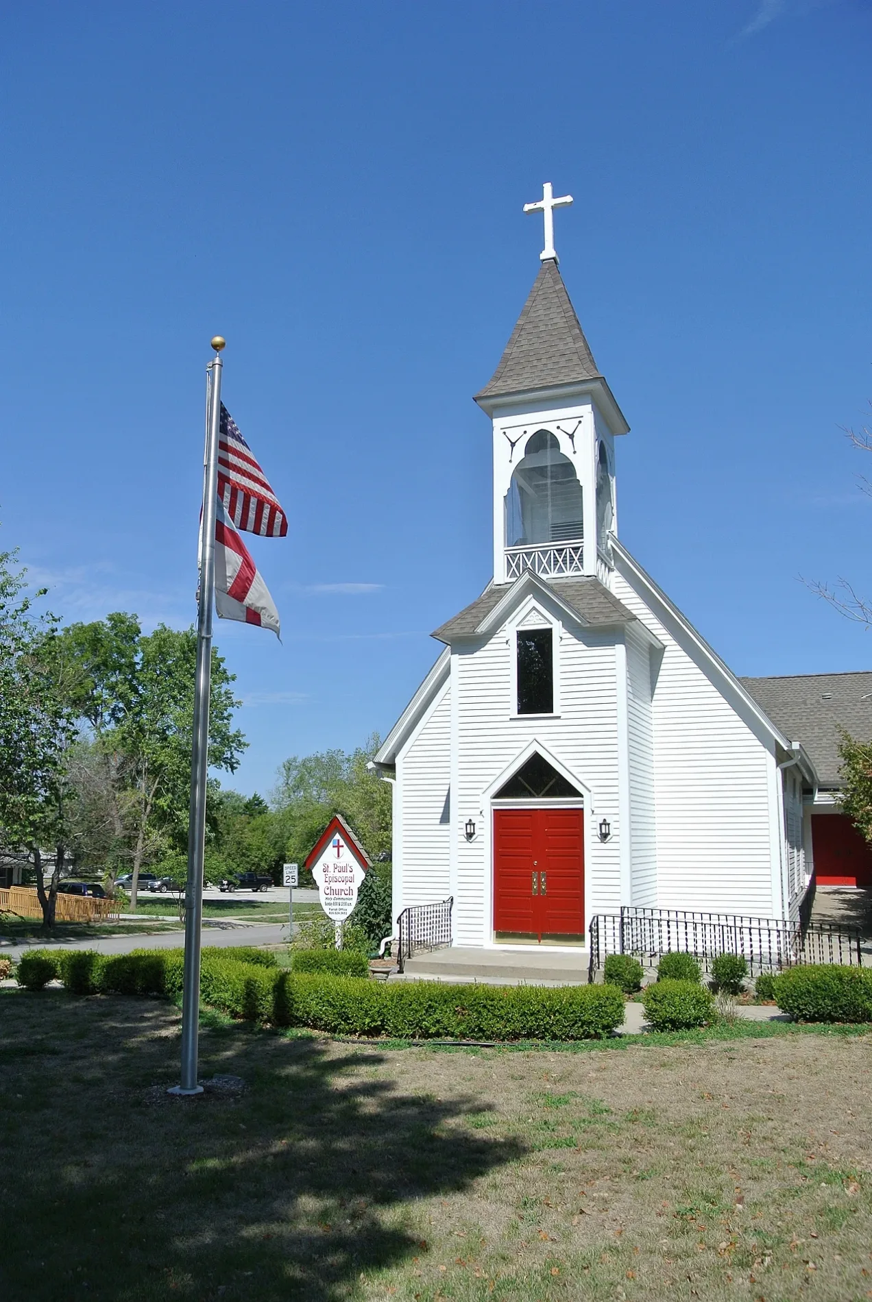
Saint Paul's Episcopal Church150 ft
Playgrounds nearby
Harris Park0.3 mi
Railways nearby
UP Sedalia Subdivision0.2 mi
UP Lees Summit Siding0.3 mi
Restaurants nearby
The Filling Station0.1 mi
School buildings nearby
St. Mary's School0.2 mi
Sports halls nearby
LSHS B Gym0.4 mi
Thrift stores nearby
Lees Summit Social Services Thrift Store0.1 mi
Red Racks Thrift Store0.2 mi
Town halls nearby
Lee's Summit City Hall0.2 mi
Water parks nearby
Summit Waves0.4 mi
Public transit map Lee's Summit Legend
| Railway | |
| Bus | |
| Streetcar |
Bicycle map Lee's Summit Legend
| Bike path | |
| Bike lane on roadway | |
| Cycling allowed on bus lane | |
| Bicycle street | |
| Open to cyclists | |
| Open to cyclists, good path | |
| Cycling prohibited | |
| Cobblestone |
| Long-distance bike route | (depending on scale) | |
| Long-distance bike route |
Pedestrian map Lee's Summit Legend
| Path |
| Long-distance hiking trail | (depending on scale) | |
| Long-distance hiking trail | ||
| Pedestrians prohibited |