
East Bear Boulevard in Springfield, Missouri
East Bear Boulevard in Springfield is a residential street (also known as East Monroe Street). It runs in an east-west direction starting from South Jefferson Avenue and crosses South Thomas Avenue, South Kimbrough Avenue, South Holland Avenue, South John Q Hammons Parkway, MSU Busway and South Florence Avenue and ends at South National Avenue. East Bear Boulevard is also known as East Monroe Street.
- Alternate Name
- East Monroe Street
- Road Type
- residential street
- Route
- east-west
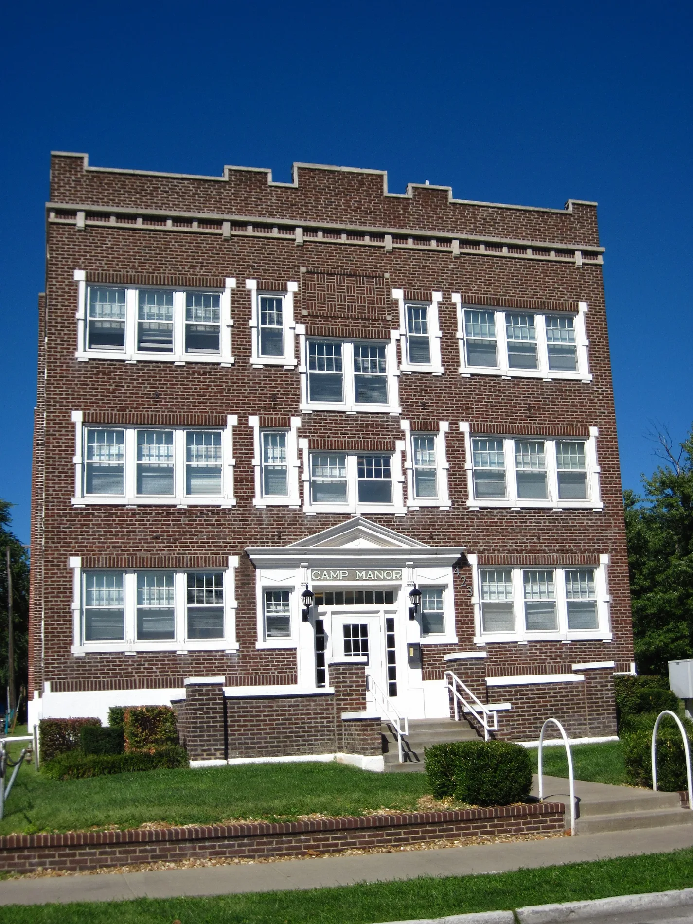
Image
Clothing stores
Studios
Community centers
Bookstores
Variety stores
Restaurants
Fast food restaurants
Galleries
- Transformation Gallery & Tattoo (Web) at East Walnut Street 330 (65806) – approx. 0.4 mi.
Attractions
Stationery stores
Antique stores
Streets nearby
South Thomas Avenue450 ft
East Madison Street550 ft
South Jefferson AvenueCicis, G. Pearson Ward YMCA, Zayka Indian Cuisine, 1984, Prairie Pie
0.2 mi
East Cherry StreetDomino's, McDonald's, Burger King
0.2 mi
East Harrison StreetLa Cabaña Mexican Grill & Bar, Subway
0.2 mi
South Kimbrough AvenueEagle Stop, Umi Sushi Bar, B-Sew Inn, Sherwin-Williams, Firehouse Subs, TCB Lounge
0.2 mi
South Holland Avenue0.2 mi
South South AvenueNonna's Italian American Cafe, Finnegan's Wake, Sweet Boy's Neighborhood Bar, Mudhouse Coffee, The Outland, The Boogie, Suddenlies Gallery & Boutique, Norman’s Bridal Shoppe, Hour House, 5 Pound Apparel, Cabos Bonitos Grill & Cantina, Bruno’s Italian Restaurant
0.3 mi
South Robberson AvenueThe Order, Luna Bar, Stick it in Your Ear
0.3 mi
South Clay Avenue0.3 mi
East Elm StreetPanera Bread, CVS Pharmacy
0.3 mi
South John Q Hammons Parkway0.3 mi
East Grand StreetAT&T
0.3 mi
South Patton AvenueCoxhealth Center Campbell, The Dive on Patton
0.4 mi
South Roanoke Avenue0.4 mi
East Normal Street0.4 mi
Apartment buildings nearby
Jenny Lind Hall0.2 mi
Bear Village Clubhouse0.2 mi
So El0.2 mi
Buildings nearby
Jenny Lincoln Center0.2 mi
C. Arch Bay Co.0.3 mi
Ozarks Counceling Center0.3 mi
Safety and Transportation Offices/Police Substation0.3 mi
Transit Operations Center0.3 mi
Clinics nearby
Transitions0.3 mi
Dentist's offices nearby
Quinn Dental0.3 mi
Dormitories nearby
Heitz Hall0.2 mi
Fire stations nearby
SFD Station #10.4 mi
Fitness centers nearby
RF Iron Gym0.3 mi
Parking lots nearby
Bear Park North0.3 mi
Bear Park South0.4 mi
Parks nearby
Jenny Lincoln Park0.2 mi
Places of worship nearby
Grace United Methodist Church0.2 mi
Saint Agnes Cathedral0.2 mi
South Street Christian Church0.3 mi
Residential areas nearby
Normal Park0.4 mi
School buildings nearby
The Catholic Center0.2 mi
Saint Agnes Elementary School0.2 mi
Glass Hall0.3 mi
Schools nearby
Strong Hall0.3 mi
Sports fields nearby
Field Hockey & Lacrosse Complex0.3 mi
Stadiums nearby
Betty and Bobby Allison South Stadium0.2 mi
JQH Arena0.3 mi
University buildings nearby
Bernice Warren Center for Archaeological Research0.1 mi
McQueary Family Health Sciences Hall0.2 mi
O'Reilly Clinical Health Sciences Center0.2 mi
Professional Building0.2 mi
John Q Hammons Student Center0.2 mi
Wehr Band Hall0.2 mi
 Public transit map Springfield Legend
| Railway | |
| Bus | |
| Streetcar |
 Bicycle map Springfield Legend
| Bike path | |
| Bike lane on roadway | |
| Cycling allowed on bus lane | |
| Bicycle street | |
| Open to cyclists | |
| Open to cyclists, good path | |
| Cycling prohibited | |
| Cobblestone |
| Long-distance bike route | (depending on scale) | |
| Long-distance bike route |
 Pedestrian map Springfield Legend
| Path |
| Long-distance hiking trail | (depending on scale) | |
| Long-distance hiking trail | ||
| Pedestrians prohibited |