
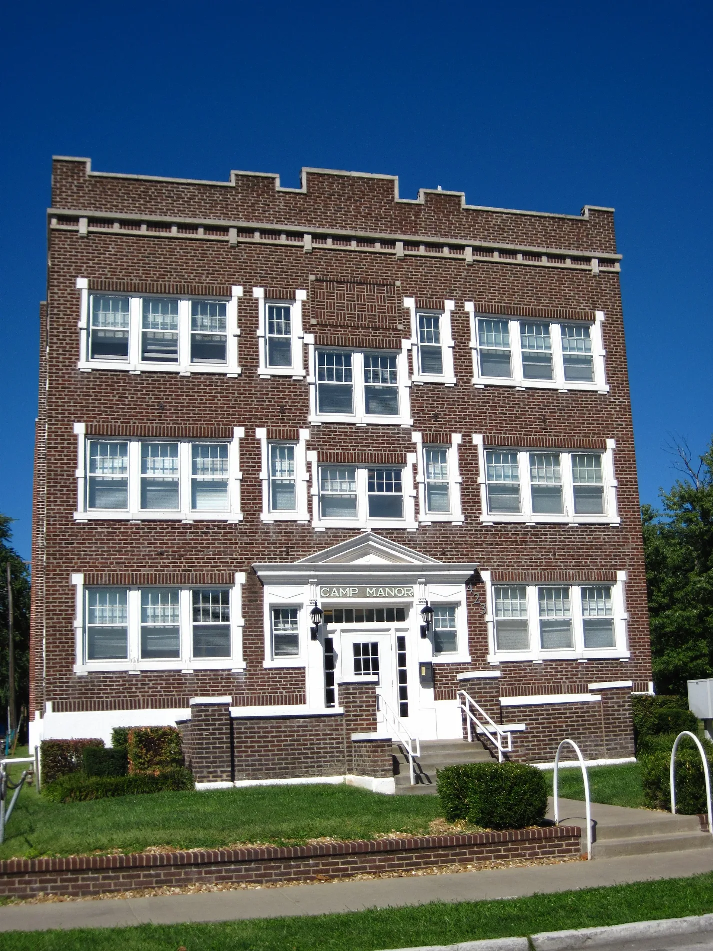
East Harrison Street in Springfield, Missouri
East Harrison Street in Springfield is a residential street. It runs in an east-west direction starting from West State Street and crosses South South Avenue, South Jefferson Avenue, South Thomas Avenue, South Kimbrough Avenue, South Holland Avenue, South Clay Avenue, South John Q Hammons Parkway, MSU Busway and South Florence Avenue and ends at South National Avenue. Nearby you can find a restaurant and a fast food restaurant. East Harrison Street also exists in Republic.
- Road Type
- residential street
- Route
- east-west
Image
Streets nearby
South Thomas Avenue0.1 mi
West Mount Vernon StreetKum & Go, Campbell School
0.2 mi
East Elm StreetPanera Bread, CVS Pharmacy
0.2 mi
South Jefferson AvenueCicis, G. Pearson Ward YMCA, Zayka Indian Cuisine, 1984, Prairie Pie
0.2 mi
East Bear Boulevard0.2 mi
East Madison Street0.2 mi
South South AvenueNonna's Italian American Cafe, Finnegan's Wake, Sweet Boy's Neighborhood Bar, Mudhouse Coffee, The Outland, The Boogie, Suddenlies Gallery & Boutique, Norman’s Bridal Shoppe, Hour House, 5 Pound Apparel, Cabos Bonitos Grill & Cantina, Bruno’s Italian Restaurant
0.2 mi
West Elm Street0.3 mi
West Pershing StreetMoseley’s Discount Office Products
0.3 mi
South Robberson AvenueThe Order, Luna Bar, Stick it in Your Ear
0.3 mi
South Campbell AvenueKai, Ozark Outdoors Power Equipment, Nathan P. Murphy's, RSVPaint, Family Pharmacy, Schlotzsky's, Sherwin-Williams, Youngbloods Detail Shop, Floors Plus, Hooked on Books, Dollar Tree, The Salvation Army, Maschino's, Springfield Gold & Silver Buyer, Fast Frames, El Purple Burrito Mexi-Cali Grill, Chinese Chef, Lucy's Chinese Food, Papa John's, Jimmy John's, Great Clips, Scooter's Coffee
0.3 mi
South Patton AvenueCoxhealth Center Campbell, The Dive on Patton
0.3 mi
West Harrison Street0.3 mi
West Lombard Street0.4 mi
West Page Street0.4 mi
East Grand StreetAT&T
0.4 mi
South Market Avenue0.4 mi
South Grant AvenueCasey's General Store, Kum & Go
0.5 mi
South Roanoke Avenue0.5 mi
West Belmont Street0.5 mi
West Lombard Circle0.5 mi
South Main AvenueRandy Bacon Photography, The Trolley Bike
0.5 mi
West Grand StreetCasey's General Store, Conoco, Walmart Pharmacy
0.5 mi
West Normal Street0.5 mi
West Belmont Court0.6 mi
Apartment buildings nearby
Jenny Lind Hall0.1 mi
Bear Village Clubhouse0.3 mi
Banks nearby
Metro Credit Union0.3 mi
Springfield Catholic Credit Union0.5 mi
Bars nearby
Tropical Liqueurs0.3 mi
Buildings nearby
Jenny Lincoln Center200 ft
Ozarks Counceling Center450 ft
PENMAC0.2 mi
Clinics nearby
Lakeland Behavioral Health System0.3 mi
Transitions0.4 mi
Dentist's offices nearby
Quinn Dental0.4 mi
Hotels nearby
Moxy Springfield Downtown0.2 mi
Parks nearby
Jenny Lincoln Park50 ft
Hawthorn Park0.4 mi
Pharmacies nearby
Downtown Pharmacy0.2 mi
Places of worship nearby
Saint Agnes Cathedral550 ft
Grace United Methodist Church0.1 mi
South Street Christian Church0.1 mi
First Baptist Church of Springfield0.2 mi
South Campbell Avenue Baptist Church0.4 mi
School buildings nearby
The Catholic Center400 ft
Saint Agnes Elementary School0.1 mi
Supermarkets nearby
Walmart Neighborhood Market0.5 mi
Other nearby
Phelps Grove/University Heights0.5 mi
 Public transit map Springfield Legend
| Railway | |
| Bus | |
| Streetcar |
 Bicycle map Springfield Legend
| Bike path | |
| Bike lane on roadway | |
| Cycling allowed on bus lane | |
| Bicycle street | |
| Open to cyclists | |
| Open to cyclists, good path | |
| Cycling prohibited | |
| Cobblestone |
| Long-distance bike route | (depending on scale) | |
| Long-distance bike route |
 Pedestrian map Springfield Legend
| Path |
| Long-distance hiking trail | (depending on scale) | |
| Long-distance hiking trail | ||
| Pedestrians prohibited |