
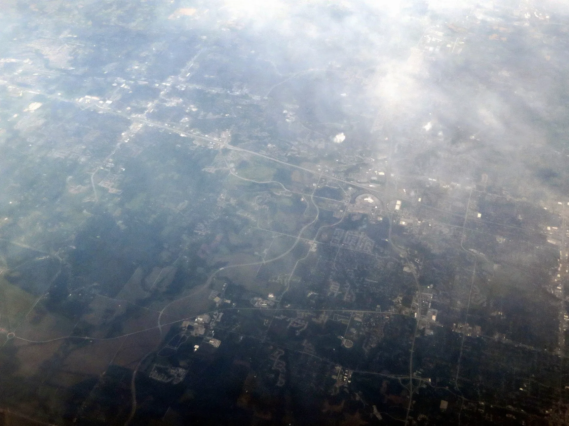
Northwest Jefferson Street in Blue Springs, Missouri
Northwest Jefferson Street in Blue Springs is a residential street. It runs in an east-west direction starting from Northwest Shaw Parkway and crosses Shaw Parkway, Northwest 3rd Street, North 1st Street and Northeast 1st Terrace and ends at Northeast Jefferson Street. Nearby you can find a restaurant and an artwork.
- Road Type
- residential street
- Route
- east-west
Image
Restaurants
Artworks
Streets nearby
Shaw Parkway0.1 mi
Northwest 6th Street TerracePapa Murphy's
0.1 mi
Mo Hwy 7T-Mobile, The Cigar Merchant
0.1 mi
Northwest Shaw Parkway0.2 mi
Northwest 5th Street Terrace0.2 mi
Dwight D. Eisenhower HighwayBlue Springs Harley-Davidson, Adams Dairy Bank
0.2 mi
Northwest 6th Street0.2 mi
Northwest 5 Street0.2 mi
North 6th Terrace0.2 mi
Northwest Mock Avenue0.2 mi
Northwest 6 Street Terrace0.3 mi
State Highway 70.3 mi
Northwest Circle Drive0.3 mi
Kabel Street0.3 mi
Northwest Maynard Street0.4 mi
Northwest South Outer RoadCommunity America Credit Union, Dykhouse Orthodontics, UMB Bank, Foster Dental Care, Cavanaugh Pet Hospital, McCarthy Pre-owned Supercenter
0.4 mi
Northwest North Ridge Court0.4 mi
Northwest 10th StreetChargePoint
0.4 mi
Northwest Porter Court0.5 mi
Auto parts stores nearby
O'Reilly Auto Parts0.4 mi
Auto repair shops nearby
Valvoline0.3 mi
Banks nearby
Bank Midwest0.5 mi
Buildings nearby
Electronic Sentencing Alternative0.4 mi
Farmers Insurance0.4 mi
Car dealerships nearby
Molle Chevrolet0.1 mi
Commercial buildings nearby
Vertigo Blue Springs0.1 mi
Convenience stores nearby
BP Shop0.2 mi
Fast food restaurants nearby
McDonald's0.2 mi
Whataburger0.2 mi
Dunkin'0.3 mi
Florists nearby
The Village Gardens0.2 mi
Gas stations nearby
Casey's General Store0.2 mi
BP0.2 mi
QuikTrip0.2 mi
Hardware stores nearby
Ace Hardware0.3 mi
Hotels nearby
Quality Inn0.2 mi
Hampton Inn Kansas City/Blue Springs0.3 mi
Ice cream shops nearby
Andy's Frozen Custard0.2 mi
Baskin-Robbins0.2 mi
Residential areas nearby
Country Club Annex0.3 mi
Melody Acres0.3 mi
Weatherstone Manor0.4 mi
North Ridge Cottages0.4 mi
Restaurants nearby
Applebee's0.1 mi
Tacos 4 Life0.2 mi
Mo' Bettahs0.3 mi
Clancy's Cafe & Pub0.3 mi
Sports centers nearby
Ibex Climbing Gym0.2 mi
Supermarkets nearby
Price Chopper0.3 mi
Public transit map Blue Springs Legend
| Railway | |
| Bus | |
| Streetcar |
Bicycle map Blue Springs Legend
| Bike path | |
| Bike lane on roadway | |
| Cycling allowed on bus lane | |
| Bicycle street | |
| Open to cyclists | |
| Open to cyclists, good path | |
| Cycling prohibited | |
| Cobblestone |
| Long-distance bike route | (depending on scale) | |
| Long-distance bike route |
Pedestrian map Blue Springs Legend
| Path |
| Long-distance hiking trail | (depending on scale) | |
| Long-distance hiking trail | ||
| Pedestrians prohibited |