
Northwest Maynard Street in Blue Springs, Missouri
Northwest Maynard Street in Blue Springs is a residential street and runs in an east-west direction starting from Northwest Range Street and ends at Kabel Street.
- Road Type
- residential street
- Route
- east-west
Image
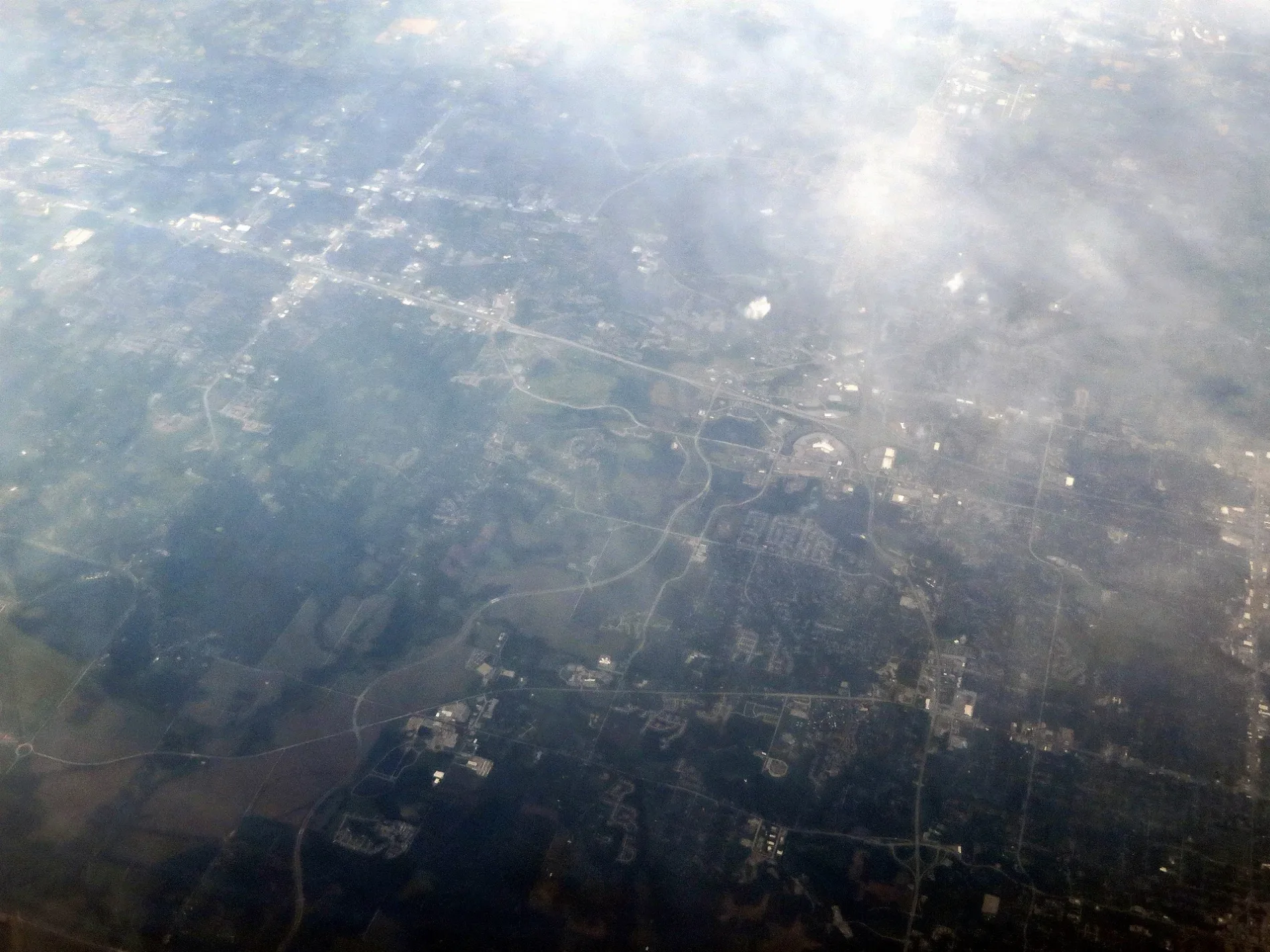
Cell phone stores
Health food stores
Furniture stores
Banks
Motels
Stationery stores
Artworks
- Jet Stream (Artist: Nichole Beck, steel). Jet Stream, also known as the slide statue, was sculpted by Nichole Beck and originally displayed in the "Connections" Exhibit. This 18-foot by 8-foot-painted steel sculpture consists of a 3-dimensional welded steel square, trapezoidal in cros – approx. 0.3 mi.
Beauty salons
Dentist offices
Fast food restaurants
Tobacco shops
Restaurants
Cafes
Dive shops
Craft stores
Streets nearby
Kabel Street250 ft
Northwest Hearnes AvenueLamar's Donuts and Coffee, Firehouse Mural, Align Nutrition
500 ft
Northwest Range Street0.1 mi
Northwest South Outer RoadUMB Bank, Foster Dental Care, Cavanaugh Pet Hospital, McCarthy Pre-owned Supercenter, Community America Credit Union, Dykhouse Orthodontics
0.1 mi
Northwest Mock Avenue0.1 mi
Northwest 10th StreetChargePoint
0.2 mi
Mo Hwy 7T-Mobile, The Cigar Merchant
0.2 mi
Dwight D. Eisenhower HighwayBlue Springs Harley-Davidson, Adams Dairy Bank
0.3 mi
Northwest 6th Street0.3 mi
North 6th Terrace0.3 mi
Northwest 6th Street TerracePapa Murphy's
0.3 mi
Northwest Jackson Plaza DriveKim's Nails, Scuba Diving Training Shop
0.3 mi
Northwest B StreetCommerce Bank, Boost Mobile
0.3 mi
Northwest 6 Street Terrace0.3 mi
Northwest 5 Street0.4 mi
Northwest Jefferson StreetRancho Grande Cantina, Jet Stream
0.4 mi
Zaun Avenue0.4 mi
Northwest R D Mize RoadSubway, St. John LeLande Parish Statue
0.4 mi
Northwest Durango Court0.4 mi
Northwest 5th Street0.4 mi
Auto repair shops nearby
Firestone0.4 mi
Banks nearby
UMB0.4 mi
Car dealerships nearby
Molle Chevrolet0.4 mi
Car washes nearby
Camelot Car Wash and Detail Center0.4 mi
Commercial buildings nearby
Vertigo Blue Springs0.3 mi
Construction sites nearby
Future Dutch Bros0.2 mi
Convenience stores nearby
BP Shop0.2 mi
Fast food restaurants nearby
Whataburger0.1 mi
Popeyes0.2 mi
McDonald's0.2 mi
Wendy's0.4 mi
Fitness centers nearby
Crown City Athletics0.3 mi
Florists nearby
The Village Gardens0.2 mi
Gas stations nearby
BP0.2 mi
Hotels nearby
Quality Inn0.2 mi
Hampton Inn Kansas City/Blue Springs0.2 mi
Ice cream shops nearby
Baskin-Robbins0.2 mi
Andy's Frozen Custard0.2 mi
Places of worship nearby
Saint John LaLande Parish0.1 mi
Timothy Lutheran Church0.4 mi
Residential areas nearby
Melody Acres0.1 mi
The Vespers0.4 mi
Restaurants nearby
Mo' Bettahs0.2 mi
Clancy's Cafe & Pub0.2 mi
Tacos 4 Life0.2 mi
Applebee's0.3 mi
The Big Biscuit0.3 mi
School buildings nearby
St. John LaLande Catholic School0.2 mi
Sports centers nearby
Ibex Climbing Gym0.2 mi
 Public transit map Blue Springs Legend
| Railway | |
| Bus | |
| Streetcar |
 Bicycle map Blue Springs Legend
| Bike path | |
| Bike lane on roadway | |
| Cycling allowed on bus lane | |
| Bicycle street | |
| Open to cyclists | |
| Open to cyclists, good path | |
| Cycling prohibited | |
| Cobblestone |
| Long-distance bike route | (depending on scale) | |
| Long-distance bike route |
 Pedestrian map Blue Springs Legend
| Path |
| Long-distance hiking trail | (depending on scale) | |
| Long-distance hiking trail | ||
| Pedestrians prohibited |