
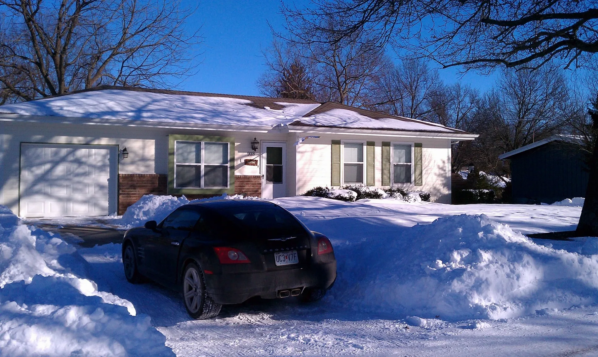
Southwest Sunset Street in Blue Springs, Missouri
Southwest Sunset Street in Blue Springs is a residential street. It runs in an east-west direction starting from Southwest 19th Street and crosses Southwest 15th Street, Southwest 14th Terrace and Southwest 10th Street. It ends in a cul-de-sac.
- Road Type
- residential street
- Route
- east-west
Image
Florists
Artworks
Hardware stores
Bars
Community centers
Paint stores
Courthouses
Restaurants
Cell phone stores
Fountains
Secondhand stores
Department stores
Gas stations
Pet stores
Hair salons
Beauty salons
Charging stations
Thrift stores
Supermarkets
Dentist offices
Police stations
Streets nearby
Corporal M.E. Webster Memorial ParkwayPetals & Potpourri, Dean's Barber Shop, Show Me Sports Cards, Diamond Mural, Kennedy Fountain
0.2 mi
alleyKristen McGhee - Stylist, Leo's
0.2 mi
Southwest 10th Street0.2 mi
Southwest Azure Avenue0.2 mi
Morningside Drive0.3 mi
Southwest Skyline Drive0.3 mi
Southwest Rainbow Lane0.3 mi
Southwest 14th Terrace0.3 mi
Southwest Jaguar Lane0.3 mi
Southwest Horizon Drive0.3 mi
Southwest Earls Court0.3 mi
Southwest 8th Street0.3 mi
Southwest Victor Drive0.4 mi
Southwest Essex Circle0.4 mi
Southwest Hamlet Street0.4 mi
Southwest South AvenueAldi
0.4 mi
Auto repair shops nearby
Goodyear Service Center0.3 mi
Calvert's Express Auto Service0.3 mi
Banks nearby
Central Bank500 ft
Chase0.1 mi
Bank of America0.2 mi
Cafes nearby
Scooter's Coffeehouse0.2 mi
Convenience stores nearby
QuikTrip0.2 mi
Hy-Vee Gas0.2 mi
Copy shops nearby
The UPS Store0.3 mi
Dentist's offices nearby
White Oak Dental Group0.2 mi
Doctor's offices nearby
Cockerell & McIntosh Pediatrics - an affiliate of Children's Mercy0.2 mi
Farm supply stores nearby
Buchheit0.3 mi
Fast food restaurants nearby
Chipotle350 ft
Fazoli's450 ft
McDonald's550 ft
Hardee's0.2 mi
Taco Bell0.2 mi
Culver's0.3 mi
Fire stations nearby
Connelly Fire Station 10.1 mi
Jewelry stores nearby
Kennedy's Jewelers0.2 mi
Pawn shops nearby
Patriot Pawn & Guns0.2 mi
Pet stores nearby
Brookside Barkery - Blue Springs500 ft
Post offices nearby
United States Post Office0.4 mi
Preschools nearby
Kinder Care Learning Center0.4 mi
Railways nearby
CPKC Mexico Subdivision0.3 mi
Residential areas nearby
Colson's Creek0.4 mi
Restaurants nearby
Johnny’s Tavern0.2 mi
54th Street Grill & Bar0.3 mi
Self storages nearby
Extra Space Storage0.2 mi
Social facilities nearby
Novel Place Senior Living450 ft
Supermarkets nearby
Price Chopper0.1 mi
Hy-Vee0.3 mi
Tire dealers nearby
Discount Tire0.2 mi
Public transit map Blue Springs Legend
| Railway | |
| Bus | |
| Streetcar |
Bicycle map Blue Springs Legend
| Bike path | |
| Bike lane on roadway | |
| Cycling allowed on bus lane | |
| Bicycle street | |
| Open to cyclists | |
| Open to cyclists, good path | |
| Cycling prohibited | |
| Cobblestone |
| Long-distance bike route | (depending on scale) | |
| Long-distance bike route |
Pedestrian map Blue Springs Legend
| Path |
| Long-distance hiking trail | (depending on scale) | |
| Long-distance hiking trail | ||
| Pedestrians prohibited |