
Southeast Corder Street in Lee's Summit, Missouri
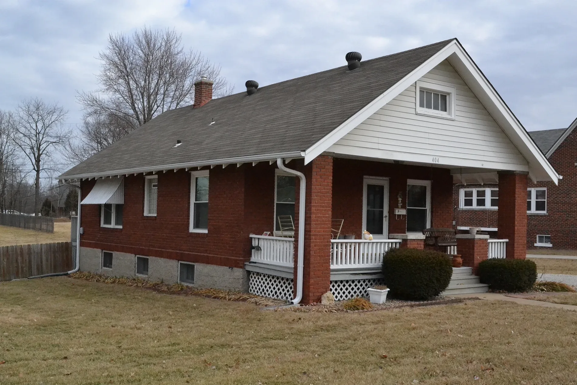
Southeast Corder Street in Lee's Summit is a residential street and runs in a north-south direction starting from Southeast Lee Haven Drive and ends at Southeast 2nd Street.
- Road Type
- residential street
- Route
- north-south
Image
Cafes
Hardware stores
Pharmacies
Tobacco shops
Banks
Outdoor stores
Restaurants
Department stores
Bars
Pubs
Beauty salons
Hair salons
Fast food restaurants
Charging stations
Copy shops
Ice cream shops
Furniture stores
Streets nearby
Southeast Summit Avenue450 ft
Northeast Ash Street450 ft
Southeast 2nd StreetLending Library
0.1 mi
Northeast Corder Street0.1 mi
High Street0.1 mi
Exercise Path0.1 mi
Southeast Lee Haven Drive0.1 mi
Southeast Independence Avenue0.1 mi
Northeast Short Street0.2 mi
Sharon Drive0.2 mi
Southeast Florence Avenue0.2 mi
Northeast Independence Court0.2 mi
Southeast Grand Avenue0.2 mi
Wilson Street0.2 mi
Arlington Circle0.3 mi
Southeast 3rd TerraceHawaiian Bros Island Grill
0.3 mi
Northeast Grand Avenue0.3 mi
Southeast Eastridge Street0.3 mi
Morningside Drive0.3 mi
Cooper Street0.3 mi
Northeast Ash Court0.3 mi
East Langsford RoadPapa Murphy's, Subway, Big Lots
0.3 mi
Northeast Eastridge Court0.3 mi
Northeast Hamel Place0.3 mi
Northeast Corder Avenue0.3 mi
Northeast Eastridge Street0.3 mi
Northeast Howard Street0.4 mi
Northeast Florence Street0.4 mi
Columbus Street0.4 mi
Northeast Orchard Drive0.4 mi
Northeast Weathervane Street0.4 mi
Northeast Fernwood Circle0.4 mi
Northeast Darwin Street0.5 mi
Auto repair shops nearby
Royal Automotive0.3 mi
Buildings nearby
54th Street Bar & Grill0.3 mi
Commercial areas nearby
Lee's Landing Professional Center0.2 mi
Convenience stores nearby
Casey's General Store0.3 mi
Convenience Plus0.4 mi
Fast food restaurants nearby
Abelardo's Mexican Fresh0.3 mi
Gas stations nearby
Shell0.3 mi
Residential areas nearby
Arlington Park0.1 mi
Sunrise East0.3 mi
Summit East Plaza Condominiums0.3 mi
Court Villas0.3 mi
Hamel Heights0.3 mi
Orchard View0.4 mi
Heather Hill Farm0.5 mi
Retail areas nearby
Plaza 3rd Center0.2 mi
Tattoo studios nearby
Glory Bound Tattoo0.2 mi
Public transit map Lee's Summit Legend
| Railway | |
| Bus | |
| Streetcar |
Bicycle map Lee's Summit Legend
| Bike path | |
| Bike lane on roadway | |
| Cycling allowed on bus lane | |
| Bicycle street | |
| Open to cyclists | |
| Open to cyclists, good path | |
| Cycling prohibited | |
| Cobblestone |
| Long-distance bike route | (depending on scale) | |
| Long-distance bike route |
Pedestrian map Lee's Summit Legend
| Path |
| Long-distance hiking trail | (depending on scale) | |
| Long-distance hiking trail | ||
| Pedestrians prohibited |