
West 4th Street in Maryville, Missouri
West 4th Street in Maryville is a local road. It runs in an east-west direction starting from College Avenue and crosses University Drive, North Dunn Street, North Walnut Street, North Mulberry Street, North Fillmore Street, North Buchanan Street and North Main Street and ends at East 4th Street. Nearby you can find a fast food restaurant and a cafe. West 4th Street also exists in Union Township and Nodaway Township.
- Road Type
- local road
- Route
- east-west
Image
Streets nearby
West 3rd StreetThe Rose Theatre, American Electric Company, Starlight Antiques, Collectibles and Used Goods
500 ft
North Walnut Street550 ft
North Buchanan StreetThe Palms
550 ft
West 6th Street0.1 mi
North Fillmore StreetThe Student Body
0.1 mi
West 5th StreetHeritage House Maryville, The Hair Cut Place Maryville MO
0.2 mi
North Mulberry Street0.2 mi
West 7th Street0.2 mi
West 2nd Street0.2 mi
North Main StreetBlack Pony Brewing Company, The Pub, Rapid Elite Ink.Print.Ship, A Step Ahead Dance Company, Simply Siam, Maryville Travel, Simply Posh Boutique, Maryville Florists, Thrifty Boutique, Barnyard Boutique
0.2 mi
North Dunn Street0.2 mi
West 1st Street0.2 mi
South Dunn Street0.3 mi
West Jenkins StreetU.S. Bank
0.3 mi
West Thompson Street0.3 mi
Apartment buildings nearby
Carson Apartments0.2 mi
Auto parts stores nearby
Carquest0.2 mi
Banks nearby
Bank Midwest0.1 mi
Nodaway Valley Bank0.2 mi
Southern Bank0.3 mi
U.S. Bank0.3 mi
Bars nearby
Powerhouse Bar500 ft
Buildings nearby
Black Pony Brewing Company0.2 mi
North Side Mall0.2 mi
Wesley Campus Ministry Center0.2 mi
Delta Sigma Phi0.2 mi
Newman Catholic Center0.2 mi
Lutheran Campus Center0.3 mi
Cafes nearby
Haven Coffee and Goods0.2 mi
Car washes nearby
Uptown Carwash0.2 mi
Convenience stores nearby
Finish Line0.2 mi
Courthouses nearby
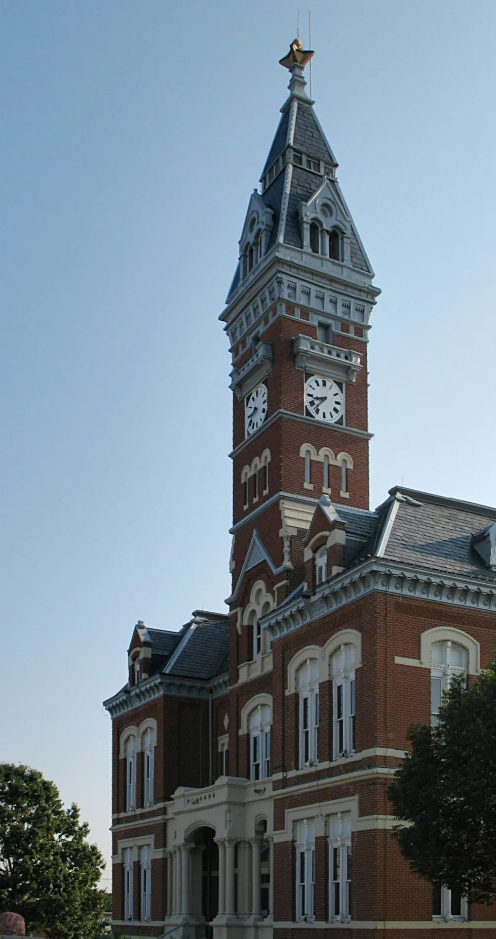
Nodaway County Courthouse0.2 mi
Dormitories nearby
Hudson Hall0.3 mi
Fast food restaurants nearby
Subway0.2 mi
Hair salons nearby
Gary's Barber Shop300 ft
Ice cream shops nearby
Kris and Kate's0.1 mi
Libraries nearby
Maryville Public Library0.2 mi
Liquor stores nearby
39th Street Liquor0.3 mi
Locksmiths nearby
Maryville Glass and Lock0.1 mi
Museums nearby
Nodaway County Historical Society0.2 mi
Parks nearby
Pocket Park0.2 mi
Places of worship nearby
The Lighthouse at Northwesst250 ft
First Christian Church500 ft
Community of Christ0.2 mi
Maryville First United Methodist Church0.2 mi
Post offices nearby
Maryville Post Office0.1 mi
Restaurants nearby
A&G0.2 mi
Happy Garden0.2 mi
Tourist information centers nearby
Mabel Cook Visitors Center0.2 mi
Public transit map Maryville Legend
| Railway | |
| Bus | |
| Streetcar |
Bicycle map Maryville Legend
| Bike path | |
| Bike lane on roadway | |
| Cycling allowed on bus lane | |
| Bicycle street | |
| Open to cyclists | |
| Open to cyclists, good path | |
| Cycling prohibited | |
| Cobblestone |
| Long-distance bike route | (depending on scale) | |
| Long-distance bike route |
Pedestrian map Maryville Legend
| Path |
| Long-distance hiking trail | (depending on scale) | |
| Long-distance hiking trail | ||
| Pedestrians prohibited |