
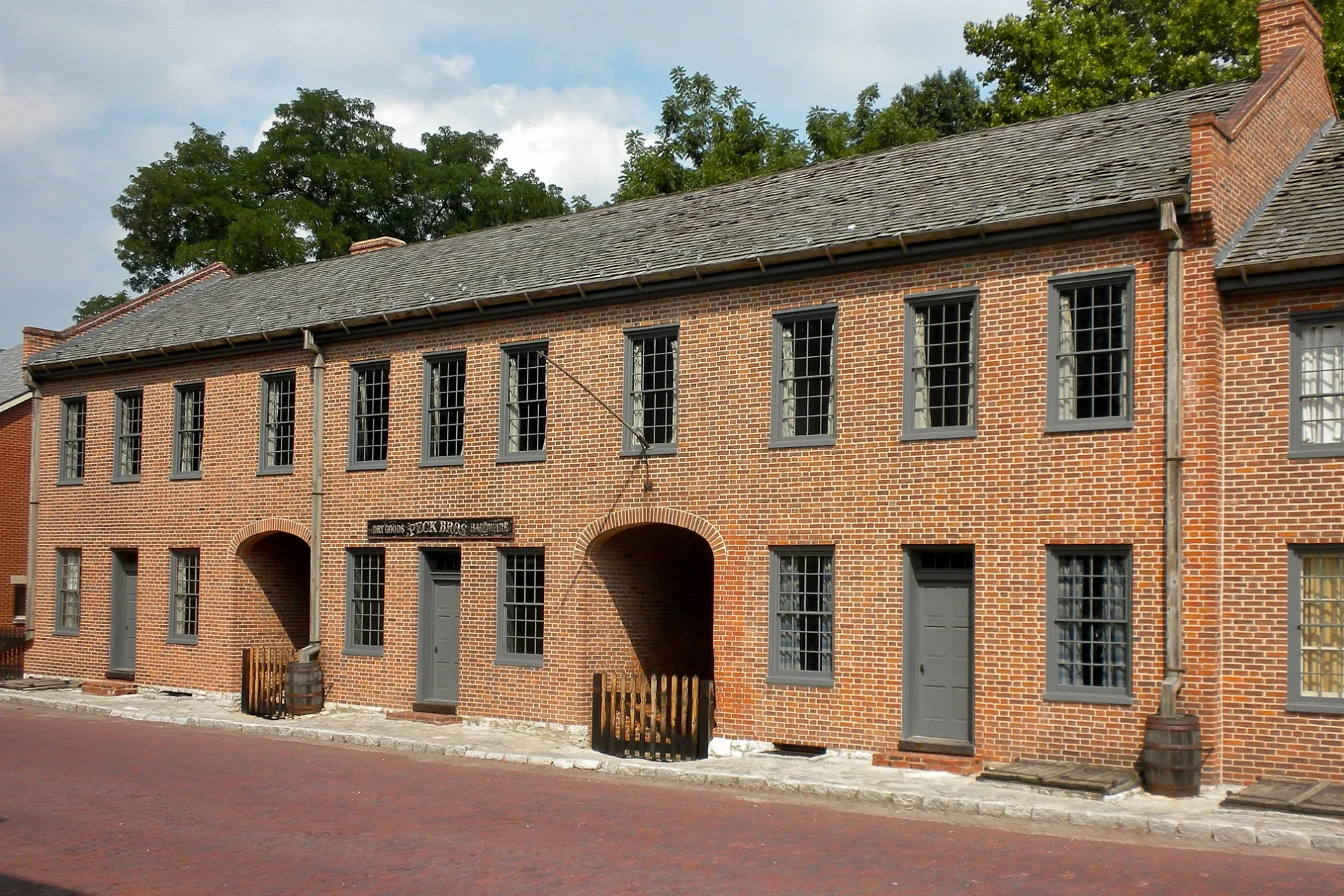
Perry Street in St. Charles, Missouri
Perry Street in Saint Charles is a two-lane residential street. It runs in an east-west direction starting from Boone Avenue and crosses Forest Avenue, Oak Avenue, South 8th Street, South 7th Street, South 6th Street, South Benton Avenue, South Fifth Street, South Fourth Street, South Third Street, South Second Street and South Main Street. It ends in a cul-de-sac. Nearby there is a cafe. The nearest bus stop is Main Street and Boone's Lick Road (about 250 m away). Perry Street also exists in Jefferson County, Howard County, Laclede County, Grundy County and Schuyler County.
- Road Type
- pedestrian zone
- Lanes
- 2
- Route
- east-west
Image
Cafes
Streets nearby
South Main StreetSalt + Smoke, Sugar & Slice Bakery, Fig & Lyle's Bakery, MOss Boutique, Riverside Sweets, Provenance Soapworks, Siostra Polish Pottery, Saint Charles Coffee & Creperie, Missouri Artists On Main, Main Street Books, Main Street and Ameristar Boulevard, Lewis & Clark Restaurant
350 ft
Pike StreetMaison Rîve, iTechshark, La Vie Vegan
500 ft
South Second StreetSecond Street and Boone's Lick Road
0.1 mi
South Third Street0.2 mi
Jackson StreetGrandma's Cookies
0.2 mi
South Riverside DriveKaty Trail St. Charles Trailhead
0.2 mi
Chauncey Street0.2 mi
Riverside DriveFirst Capitol Drive and Riverside Drive, Riverside Drive and First Capitol Drive, Foundry Art Centre
0.3 mi
Madison StreetMedical Office Building 2, Medical Office Building 1, Missouri State Park Visitor Center Tour Information
0.3 mi
South Fourth Street0.3 mi
Tompkins StreetMOD Pizza, Potbelly
0.3 mi
Katy Trail40, Lewis and Clark Statue, L&C Expedition, Lewis & Clark Campsite, Captain Clark's Journal, 39, Water Quality, What you can do to help, Why is this area a wetland, Insects & Wetlands, Water in wetlands, Wetlands-Where land & water meet, Ecopark Information, Plants in wetlands, Wildlife & Wetlands, What happens when wetlands are lost, Why wetlands are valuable, Mammals, Birds All Around
0.3 mi
Hall Street0.4 mi
First Capitol DriveFirst United Methodist Church, First Capitol Drive and Kingshighway, Fifth Street and First Capitol Drive, SSM Health St. Joseph Hospital, Kilwins, Kabab N Kurry, Saint Joseph Health Center, Spirit Shoppe, Campus Service Center
0.4 mi
South Benton Avenue0.4 mi
Reservoir Avenue0.4 mi
Hillcrest Lane0.4 mi
McDonough Street0.4 mi
Water Street0.4 mi
Barbour Street0.5 mi
South 6th StreetLincoln School, Sixth Street and Perry Street
0.5 mi
Boone's Lick RoadMain Street and Boone's Lick Road, Boone's Lick Road and Rose Brae Drive
0.5 mi
Thomas Avenue0.5 mi
Allen Avenue0.5 mi
South 7th Street0.5 mi
Sandra AvenueMcDonald's, Sandra Avenue and Allen Street
0.5 mi
Schaefer Place0.6 mi
South Fifth StreetTime Center, Starbucks, Walgreens
0.6 mi
Ameristar BoulevardAmeristar Casino
0.6 mi
Buildings nearby
Train Station450 ft
Gazebo0.2 mi
First Missouri State Capitol State Historic Site0.3 mi
Casinos nearby
Ameristar Casino Resort Spa St. Charles0.6 mi
Cemeteries nearby
Lutheran Cemetery0.5 mi
Churches nearby
St. Peter Catholic Church0.3 mi
Hospitals nearby
SSM St Joseph Hospital St Charles0.3 mi
Hotels nearby
Country Inn & Suites, St. Charles, MO0.4 mi
Ameristar Hotel0.5 mi
Museums nearby
Lewis and Clark Boathouse and Nature Center0.2 mi
Parking lots nearby
Saint Josephs Hospital Parking Garage0.4 mi
Parks nearby
Kister Park0.1 mi
Frontier Park0.1 mi
Berthold Square Park0.2 mi
Restaurants nearby
Waffle House0.6 mi
Retail areas nearby
Mark Twain Village0.6 mi
School buildings nearby
St. Peter Catholic School: Daycare0.2 mi
Streams nearby
Blanchette Creek0.3 mi
Tourist information centers nearby
Katy Trail St. Charles0.3 mi
Other nearby
SSM Health St. Joseph Hospital - St. Charles Heliport0.3 mi
 Public transit map Saint Charles Legend
| Railway | |
| Bus | |
| Streetcar |
 Bicycle map Saint Charles Legend
| Bike path | |
| Bike lane on roadway | |
| Cycling allowed on bus lane | |
| Bicycle street | |
| Open to cyclists | |
| Open to cyclists, good path | |
| Cycling prohibited | |
| Cobblestone |
| Long-distance bike route | (depending on scale) | |
| Long-distance bike route |
 Pedestrian map Saint Charles Legend
| Path |
| Long-distance hiking trail | (depending on scale) | |
| Long-distance hiking trail | ||
| Pedestrians prohibited |