
Missouri River in West Alton, Missouri
Missouri River in West Alton is a river. Missouri River is also known as Missouri. Ⓦ.
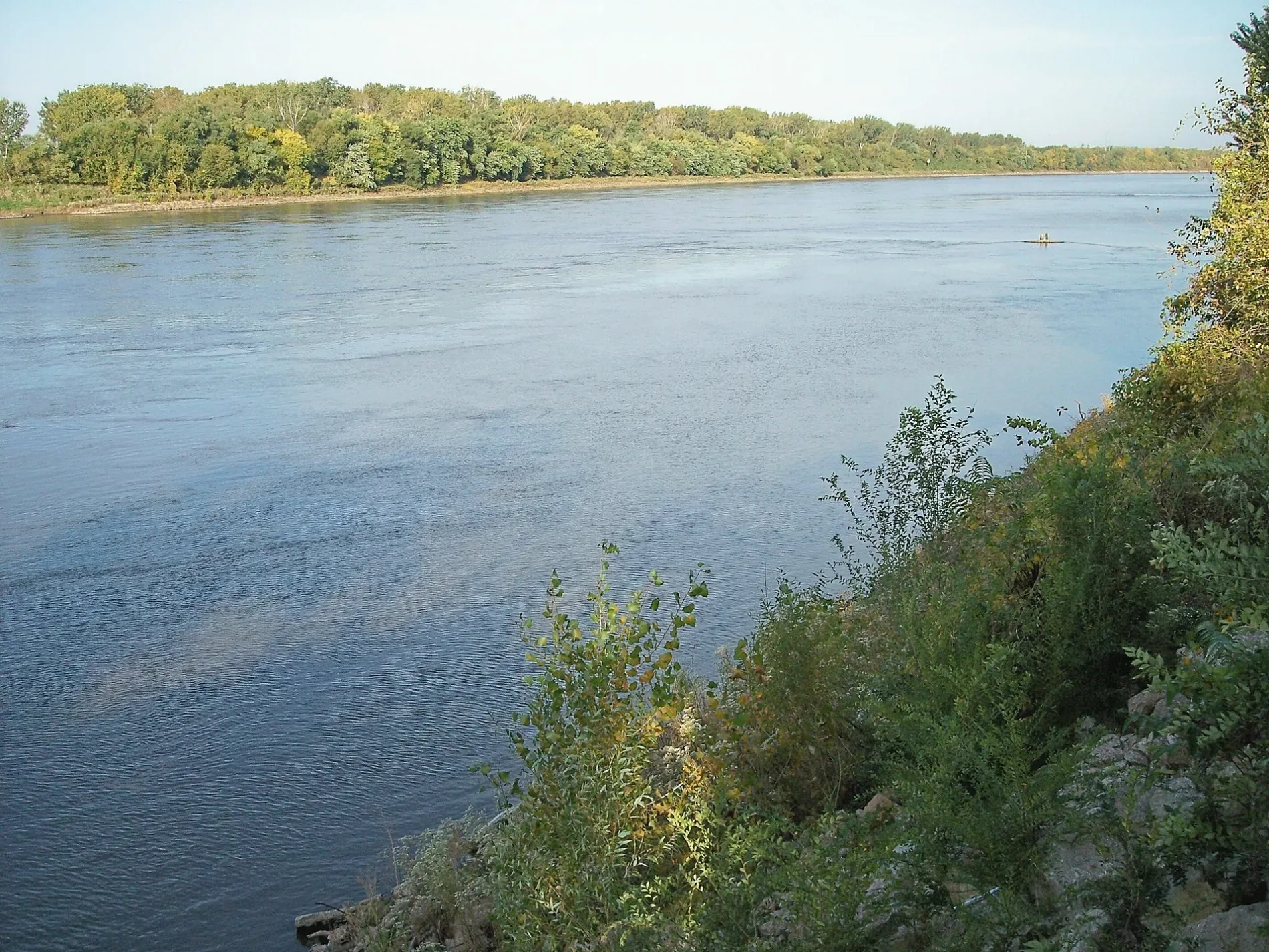
- Waterway Type
- river
Tourist information centers
Viewpoints
Fire stations
Schools
Streets nearby
Indian Bluff Drive0.2 mi
Fountainhead Circle Drive0.3 mi
Fountainhead Drive0.4 mi
Fountainhead Ridge0.4 mi
Lester Drive0.5 mi
Elder Drive0.5 mi
Spanish Pond RoadPea Ridge School
0.5 mi
Edlor Drive0.5 mi
Lombardy Way0.6 mi
Bittersweet Lane0.8 mi
Strodtman Road0.9 mi
Clearview Park0.9 mi
Elmer Estate-Acre Road0.9 mi
Elmcrest Acres Road1.0 mi
Fountainhead Lane1.1 mi
Piekutowski Lane1.1 mi
Bellefontaine RoadKyddie Karnival 24 Hr Learning Academy, Park Information, Welcome, Bethany-Peace United Church of Christ
1.2 mi
Confluence TrailForest Regeneration, VC Parking Lot A, Greenway
1.2 mi
Arrow Point Drive Court1.3 mi
Cora Island RoadIsland Information
1.3 mi
Countrybrook Drive1.3 mi
Forestedge Drive1.4 mi
Hilltop Lane1.4 mi
Upper Columbia Bottom RoadLot D, Lot K, Lot J, Lot I, Prairie, Cropland, Lot H, Bottomland Forest, Wetlands, Lot E, Lot F, Lot L, Lot M
1.4 mi
Lakeridge Drive1.4 mi
Countrybrook Court1.4 mi
Christo Extended1.4 mi
East Lakeridge Drive1.4 mi
Columbia Bottom RoadTrailhead Lot V
1.5 mi
Honeybrook Court1.5 mi
New Jamestown Place1.5 mi
Clock Tower Drive1.5 mi
Hillview Drive1.5 mi
Honeybrook Lane1.5 mi
Scenic Lake Drive1.5 mi
Kemper Place1.5 mi
Sparkling Lake Drive1.6 mi
Christopher Kevin Ln1.6 mi
Madison Ferry RoadTrailhead
1.6 mi
Horizon Village Drive1.6 mi
James Patrick Lane1.6 mi
Buildings nearby
Visitor Center1.0 mi
Maintence1.6 mi
Grasslands nearby
Prairie1.5 mi
Parks nearby
Spanish Lake Park1.3 mi
Streams nearby
Cora Island Chute1.4 mi
Waters nearby
Sunfish Lake1.5 mi
Spanish Lake1.5 mi
Zoos nearby
Saint Louis Zoo WildCare Park1.4 mi
| Named after | Missouria |
|---|---|
| Length | 3726 |
| Located in | Montana, North Dakota, South Dakota, Nebraska, Iowa, Missouri, Kansas |
| Country | United States |
| Mouth | Mississippi River |
| Tributary | Little Missouri River, Grand River, Moreau River, Cheyenne River, Bad River, White River, Niobrara River, James River, Vermillion River, Big Sioux River, Platte River, Kansas River, Milk River, Yellowstone River, Osage River, Mosquito Creek, Boyer River, Ponca Creek, Perry Creek, Floyd River, Little Sioux River, Soldier River, Jefferson River, Marias River, Dearborn River, Madison River, Cannonball River, Gallatin River, Roe River, Heart River, Musselshell River, Knife River, Big Muddy Creek, Judith River, Sun River, Chariton River, Arrow Creek, Belt Creek, Blue River, Cow Creek, Crooked River, Cuivre River, Fishing River, Gasconade River, Lamine River, Little Blue River, Little Muddy Creek, Loutre River, Nodaway River, Papillion Creek, Poplar River, Redwater River, Sixteen Mile Creek, Smith River, Tarkio River, Wolf River, Nishnabotna River, Big Dry Creek (Montana), Auxvasse Creek, Big Berger Creek, Perche Creek, Blacksnake Creek, Big Nemaha River, Little Nemaha River, Sacagawea River, Little Chariton River, Sni-A-Bar Creek |
| Native name | Missouri River |
| Described by | Brockhaus and Efron Encyclopedic Dictionary, Small Brockhaus and Efron Encyclopedic Dictionary, Great Soviet Encyclopedia (1926–1947), Encyclopædia Britannica 11th edition, The American Cyclopædia, Collier's New Encyclopedia, 1921, New International Encyclopedia, The New Student's Reference Work, Granat Encyclopedic Dictionary |
Public transit map West Alton Legend
| Railway | |
| Bus | |
| Streetcar |
Bicycle map West Alton Legend
| Bike path | |
| Bike lane on roadway | |
| Cycling allowed on bus lane | |
| Bicycle street | |
| Open to cyclists | |
| Open to cyclists, good path | |
| Cycling prohibited | |
| Cobblestone |
| Long-distance bike route | (depending on scale) | |
| Long-distance bike route |
Pedestrian map West Alton Legend
| Path |
| Long-distance hiking trail | (depending on scale) | |
| Long-distance hiking trail | ||
| Pedestrians prohibited |