
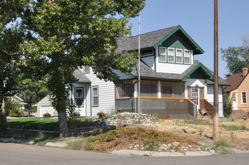
North Cody Avenue in Hardin, Montana
North Cody Avenue in Hardin is a residential street. It runs in a north-south direction starting from 10th Street West and crosses 9th Street West, 8th Street West, 7th Street West, 6th Street West, 5th Street West, 4th Street West, 3rd Street, 3rd Street West, 2nd Street West and 1st Street West and ends at Cody Avenue. Nearby you can find 2 places of worship. The nearest bus stop is Crow Tribe Transit (about 650 m away).
- Road Type
- residential street
- Route
- north-south
Image
Places of worship
Streets nearby
6th Street West250 ft
5th Street West400 ft
7th Street West0.1 mi
4th Street WestFirst American Lutheran Church, United Methodist Church, Redeemer Lutheran Church, 3 Brothers Bistro
0.1 mi
North Choteau Avenue0.1 mi
North Custer AvenueBig Horn County Library
0.2 mi
3rd StreetHarvestime Evangelistic Center, Hardin Southern Baptist Church
0.2 mi
3rd Street WestBig Horn County Courthouse, Hardin Police Department, Big Horn County Sheriffs Office, Mojoes
0.2 mi
8th Street West0.2 mi
North Terry Avenue0.2 mi
2nd Street WestFirst Congregational Church
0.2 mi
North Crawford AvenueHardin, Faith Baptist Church, Rodeway Inn
0.3 mi
9th Street West0.3 mi
North Chouteau Avenue0.3 mi
5th Street EastHardin Post Office
0.3 mi
North Cheyenne Avenue0.3 mi
9th Street Square0.3 mi
North Center AvenueHardin Fire Department, Hardin Family Dental Sign, Crow Tribe Transit
0.3 mi
North Miles Avenue0.3 mi
3rd Street East0.3 mi
East Railroad Street0.4 mi
10th Street West0.4 mi
6th Street East0.4 mi
North Crook Avenue0.4 mi
Cody Avenue0.4 mi
4th Street East0.4 mi
South Crawford Avenue0.4 mi
7th Street EastChrist Evangelical and Reformed Church
0.4 mi
Center Avenue0.4 mi
8th Street East0.4 mi
North Mitchell Avenue0.4 mi
North Crow AvenueSaint Thomas Episcopal Church
0.4 mi
Madler Circle0.4 mi
11th Street WestFirst Interstate Bank
0.5 mi
12th Street WestTown And Country Mart
0.5 mi
Lessard Avenue0.5 mi
Banks nearby
Little Horn State Bank0.4 mi
Clinics nearby
One Health Bighorn- Campus Clinic0.6 mi
Commercial areas nearby
Paramount Self Storage0.5 mi
Dentist's offices nearby
Hardin Family Dental0.4 mi
Gas stations nearby
Cenex0.6 mi
Motels nearby
Lariat Motel0.3 mi
Movie theaters nearby
Centre Cinema0.2 mi
Parks nearby
Custer City Park0.2 mi
Places of worship nearby
Saint Joseph Catholic Church0.2 mi
Restaurants nearby
Four Aces Bar & Lounge0.3 mi
Lariat Country Kitchen0.3 mi
Supermarkets nearby
Shipton's Big R0.5 mi
Variety stores nearby
Family Dollar0.4 mi
Public transit map Hardin Legend
| Railway | |
| Bus | |
| Streetcar |
Bicycle map Hardin Legend
| Bike path | |
| Bike lane on roadway | |
| Cycling allowed on bus lane | |
| Bicycle street | |
| Open to cyclists | |
| Open to cyclists, good path | |
| Cycling prohibited | |
| Cobblestone |
| Long-distance bike route | (depending on scale) | |
| Long-distance bike route |
Pedestrian map Hardin Legend
| Path |
| Long-distance hiking trail | (depending on scale) | |
| Long-distance hiking trail | ||
| Pedestrians prohibited |