
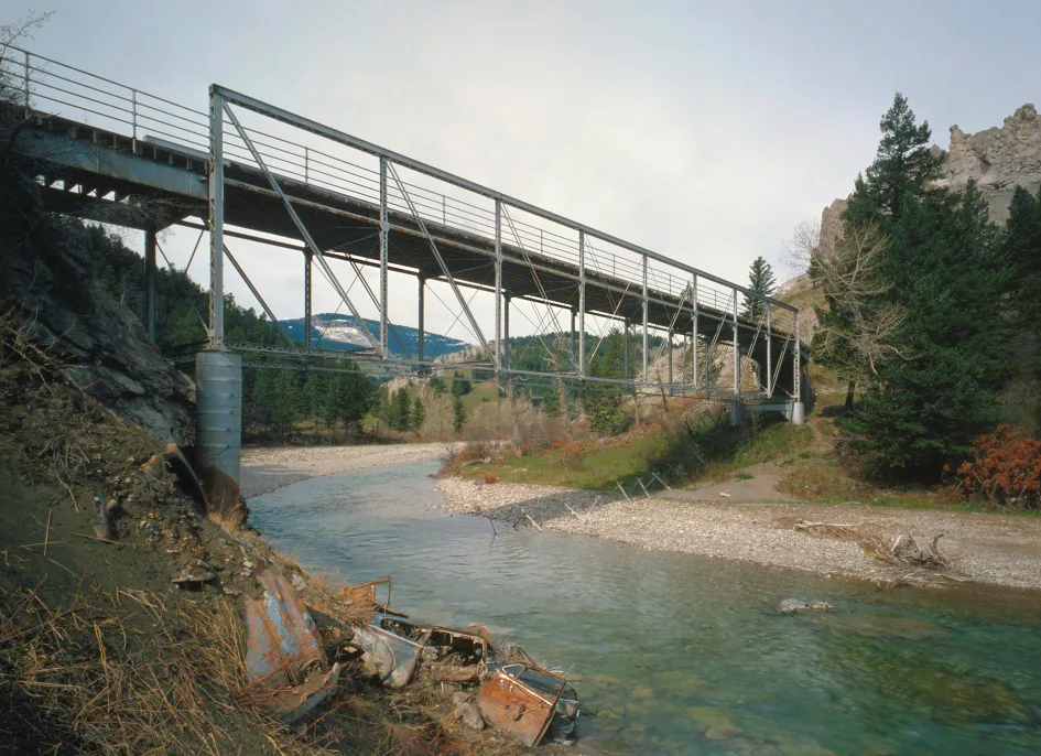
Dearborn River in Cascade County, Montana
Dearborn River in Cascade County is a river. Dearborn River also exists in Lewis and Clark County. Ⓦ.
- Waterway Type
- river
Image
Streets nearby
Rustlers Trail1.2 mi
River Loop Lane1.5 mi
Upper Sawmill Creek Lane1.8 mi
Bitterroot Ridge Lane2.0 mi
Dryfork Lane2.1 mi
Dearborn River Road2.1 mi
Overlook Lane2.2 mi
Ridge Crest Lane2.4 mi
Powerline Road2.6 mi
Paul Creek Lane2.7 mi
Gunsight Lane2.7 mi
Deer Ridge Lane2.9 mi
Sugarloaf Mountain Lane3.0 mi
Powerline Loop3.1 mi
Shoquist Park Lane3.4 mi
Shadow Lane3.6 mi
Deerlick Lane3.7 mi
Meadow Harbor Lane4.0 mi
Pryor Creek Lane4.0 mi
Box Canyon Lane4.1 mi
Sugarload Mountain Lane4.1 mi
Spitehill Road4.3 mi
Upper Andy Creek Lane4.4 mi
Stickney Recreation Area Road4.4 mi
Eagle Rock Road4.5 mi
Rebecca Lane4.5 mi
Eagle Rock Circle4.5 mi
Dearborn Rest Area4.7 mi
Craig Frontage RoadCraig
4.8 mi
Stickney Creek Road4.8 mi
Shields Lane4.9 mi
Dearborn Ranch Road4.9 mi
Bluebird Lane4.9 mi
Sevenmile Road5.0 mi
Rocky Road5.0 mi
Cooper Drive5.1 mi
Meadowlark Square5.1 mi
Lepage Road5.2 mi
Bluebird Drive5.3 mi
Cinnamon Bear Road5.3 mi
Meadow Lane5.4 mi
Golden Eagle DriveMid Canon
5.5 mi
Charbonneau Drive5.5 mi
Marshall Lane5.5 mi
Bald Eagle Drive5.5 mi
Missouri River Bluff Road5.6 mi
Disused railways nearby
Helena Subdivision4.8 mi
Hotels nearby
Lodge At Eagle Rock5.2 mi
Motels nearby
BobKat Mountain Motel5.0 mi
| Length | 113 |
|---|---|
| Located in | Montana |
| Country | United States |
| Mouth | Missouri River |
 Public transit map Cascade County Legend
 | Railway | |
| Bus | |
| Streetcar |
 Bicycle map Cascade County Legend
 | Bike path | |
| Bike lane on roadway | |
| Cycling allowed on bus lane | |
| Bicycle street | |
| Open to cyclists | |
| Open to cyclists, good path | |
| Cycling prohibited | |
| Cobblestone |
| Long-distance bike route | (depending on scale) | |
| Long-distance bike route |
 Pedestrian map Cascade County Legend
 | Path |
| Long-distance hiking trail | (depending on scale) | |
| Long-distance hiking trail | ||
| Pedestrians prohibited |