
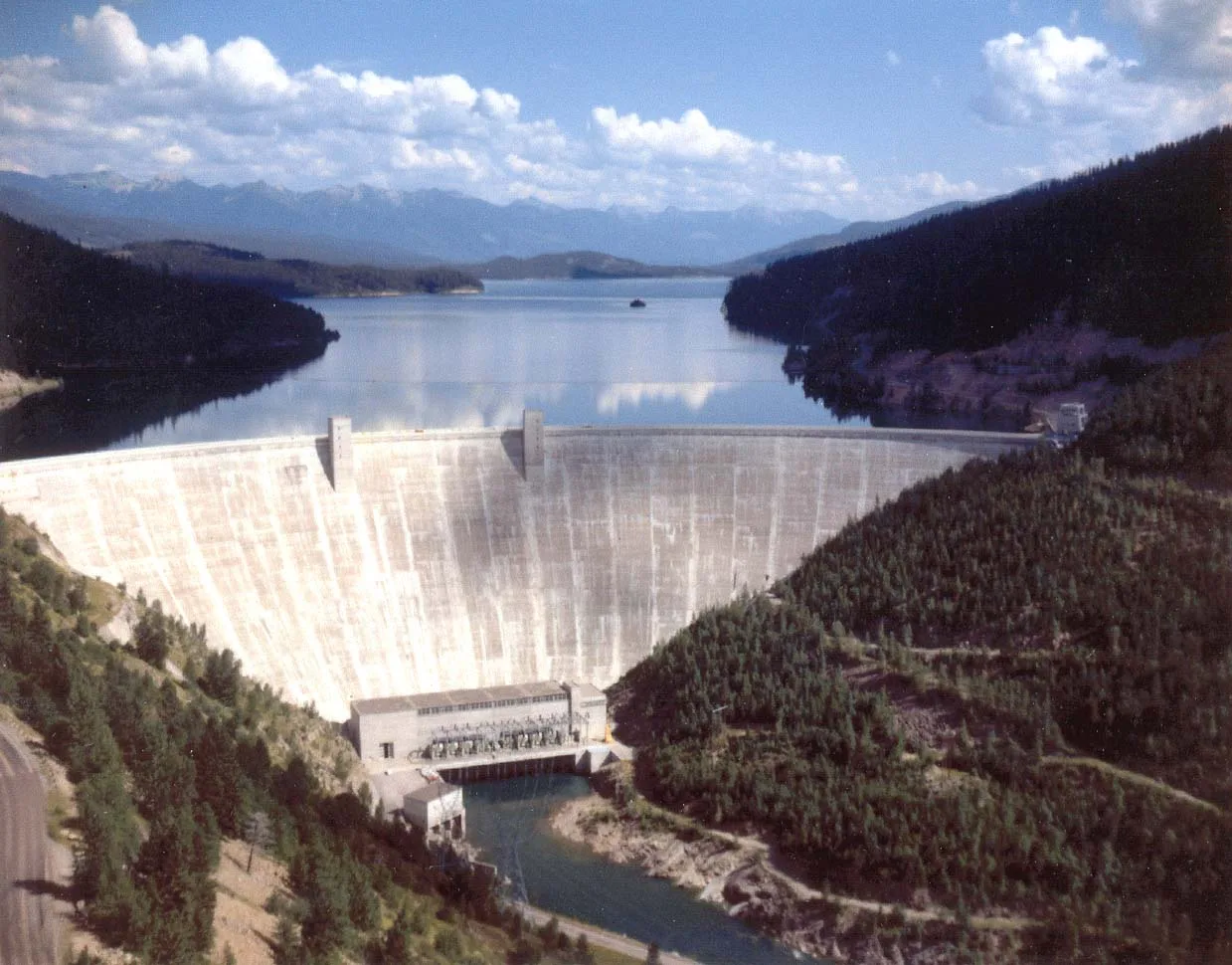
Hungry Horse Dam in Flathead County, Montana
Hungry Horse Dam in Flathead County is a dam. Ⓦ.
- Operator
- United States Bureau of Reclaimation
- Waterway Type
- dam
Image
Streets nearby
Colorado Boulevard0.3 mi
Forest Road 110940.8 mi
National Forest Development Road 53121.5 mi
Forest Road 53011.6 mi
Hungry Horse Dam Road1.6 mi
West Side RoadDoris Creek Campground
2.1 mi
National Forest Development Road 53012.1 mi
Dam Loop Trail2.4 mi
National Forest Development Road 53112.6 mi
National Forest Development Road 382.8 mi
South Fork Road2.8 mi
Forest Road 11080T2.9 mi
Hungry Horse Motocross Track2.9 mi
Forest Road 11080U2.9 mi
Forest Road 590E3.0 mi
Forest Road 11080P3.1 mi
Forest Road 11080N3.2 mi
Glacier Hills Drive3.2 mi
Forest Road 11080M3.2 mi
Forest Road 11080L3.2 mi
Diller Road3.3 mi
National Forest Development Road 28603.3 mi
Glacier Hills Court3.3 mi
Forest Road 110803.3 mi
Forest Road 895A3.3 mi
Glacier Hills Drive West3.3 mi
Glacier Hills East Drive3.4 mi
2nd Street East3.4 mi
3rd Street EastCanyon Community School
3.4 mi
1st Street East3.4 mi
Wyoming Street3.5 mi
4th Avenue South3.5 mi
South 4th Avenue3.5 mi
Reclamation Drive3.5 mi
3rd Street South3.5 mi
Campgrounds nearby
Lost Johnny Campground3.2 mi
Lost Johnny Point Campground3.2 mi
Industrial areas nearby
Hungry Horse Power Plant0.2 mi
Nature reserves nearby
Coram Experimental Forest2.8 mi
Rivers nearby
South Fork Flathead River2.8 mi
Rv parks nearby
Mountain Meadow RV Park & Cabins3.5 mi
Streams nearby
Dorris Creek3.1 mi
Lost Johnny Creek3.4 mi
Tourist information centers nearby
Hungry Horse Visitor Center0.3 mi
Waters nearby
Lion Lake2.4 mi
Hungry Horse Lake2.4 mi
Other nearby
Hungry Horse Substation0.3 mi
(Warning) No Boats Past This Point0.3 mi
(Warning) Spillway0.3 mi
| Year built | 1948 |
|---|---|
| Length | 645 m |
| Located in | Flathead County |
| Country | United States |
 Public transit map Flathead County Legend
| Railway | |
| Bus | |
| Streetcar |
 Bicycle map Flathead County Legend
| Bike path | |
| Bike lane on roadway | |
| Cycling allowed on bus lane | |
| Bicycle street | |
| Open to cyclists | |
| Open to cyclists, good path | |
| Cycling prohibited | |
| Cobblestone |
| Long-distance bike route | (depending on scale) | |
| Long-distance bike route |
 Pedestrian map Flathead County Legend
| Path |
| Long-distance hiking trail | (depending on scale) | |
| Long-distance hiking trail | ||
| Pedestrians prohibited |