
Bethal Drive in Manhattan, MT 59741
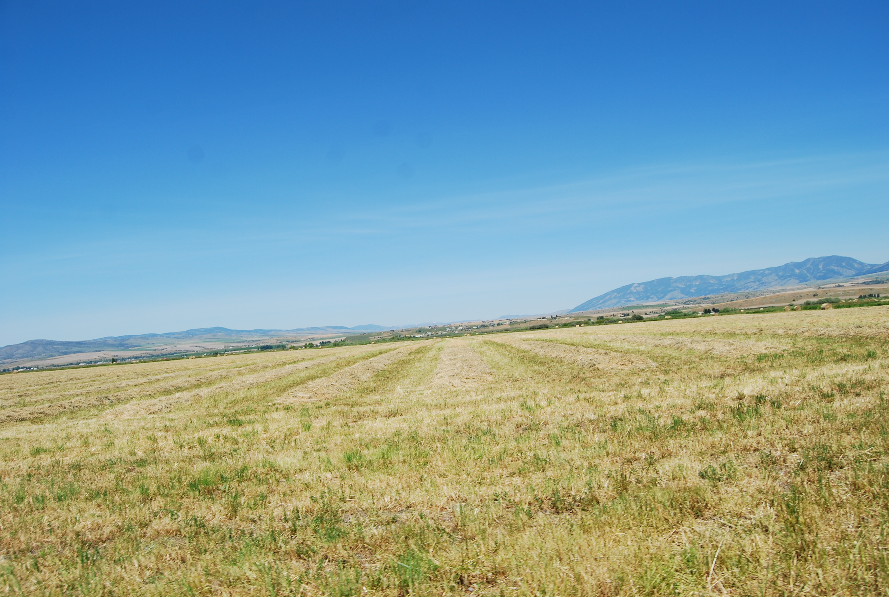
Bethal Drive in Manhattan, MT 59741 (Gallatin County) is a service road and runs in a north-south direction starting from Churchill Road and ends in a cul-de-sac. Nearby there is a place of worship.
- Road Type
- service road
- Route
- north-south
Image
Places of worship
Streets nearby
Delta Drive550 ft
Benjamin Street0.1 mi
Belleview Street0.1 mi
Pleasant Street0.2 mi
Twilight Court0.2 mi
Leonard Street0.2 mi
Bellview Drive0.2 mi
Shanna Street0.2 mi
Keri Street0.3 mi
Green Pasture Drive0.3 mi
Windmill Drive0.3 mi
Quiet Water Way0.3 mi
Fairhaven Street0.3 mi
Flying Eagle Drive0.3 mi
Bellview Street0.3 mi
Mid Way Street0.3 mi
Mission Way0.3 mi
Shady Rest Street0.3 mi
Godfrey Way0.4 mi
Crestline Drive0.4 mi
Oscar's Run0.5 mi
Kunje Boulevard0.5 mi
Pearl Drive0.5 mi
Cameron Bridge Road West0.5 mi
Deville Avenue0.6 mi
Century Drive0.6 mi
Monarch Drive0.6 mi
Imperial Place0.6 mi
Skylark Drive0.6 mi
Camp Creek RoadWestlake, Amsterdam Elementary School
0.8 mi
Moonlight Drive0.8 mi
Continental Drive0.9 mi
Dyk Road0.9 mi
Churchill RoadChurchill, White, Manhattan Christian Reformed Church
1.6 mi
Cameron Bridge Road1.7 mi
Pease Road2.1 mi
Prairie Road2.1 mi
Kimm Road2.2 mi
Canal Road2.4 mi
Highline Road2.5 mi
Amsterdam RoadTesla Supercharger, Amsterdam, Conoco, Amsterdam meat shop
2.5 mi
Stagecoach Trail RoadBuell
2.5 mi
West Cedar Meadows Lane2.7 mi
Heeb Road2.7 mi
Majestic Views Drive2.8 mi
Cemeteries nearby
Churchill Cemetery0.5 mi
Ditches nearby
White Ditch2.7 mi
Streams nearby
Camp Creek0.7 mi
Godfrey Creek2.6 mi
Public transit map Gallatin County Legend
| Railway | |
| Bus | |
| Streetcar |
Bicycle map Gallatin County Legend
| Bike path | |
| Bike lane on roadway | |
| Cycling allowed on bus lane | |
| Bicycle street | |
| Open to cyclists | |
| Open to cyclists, good path | |
| Cycling prohibited | |
| Cobblestone |
| Long-distance bike route | (depending on scale) | |
| Long-distance bike route |
Pedestrian map Gallatin County Legend
| Path |
| Long-distance hiking trail | (depending on scale) | |
| Long-distance hiking trail | ||
| Pedestrians prohibited |