
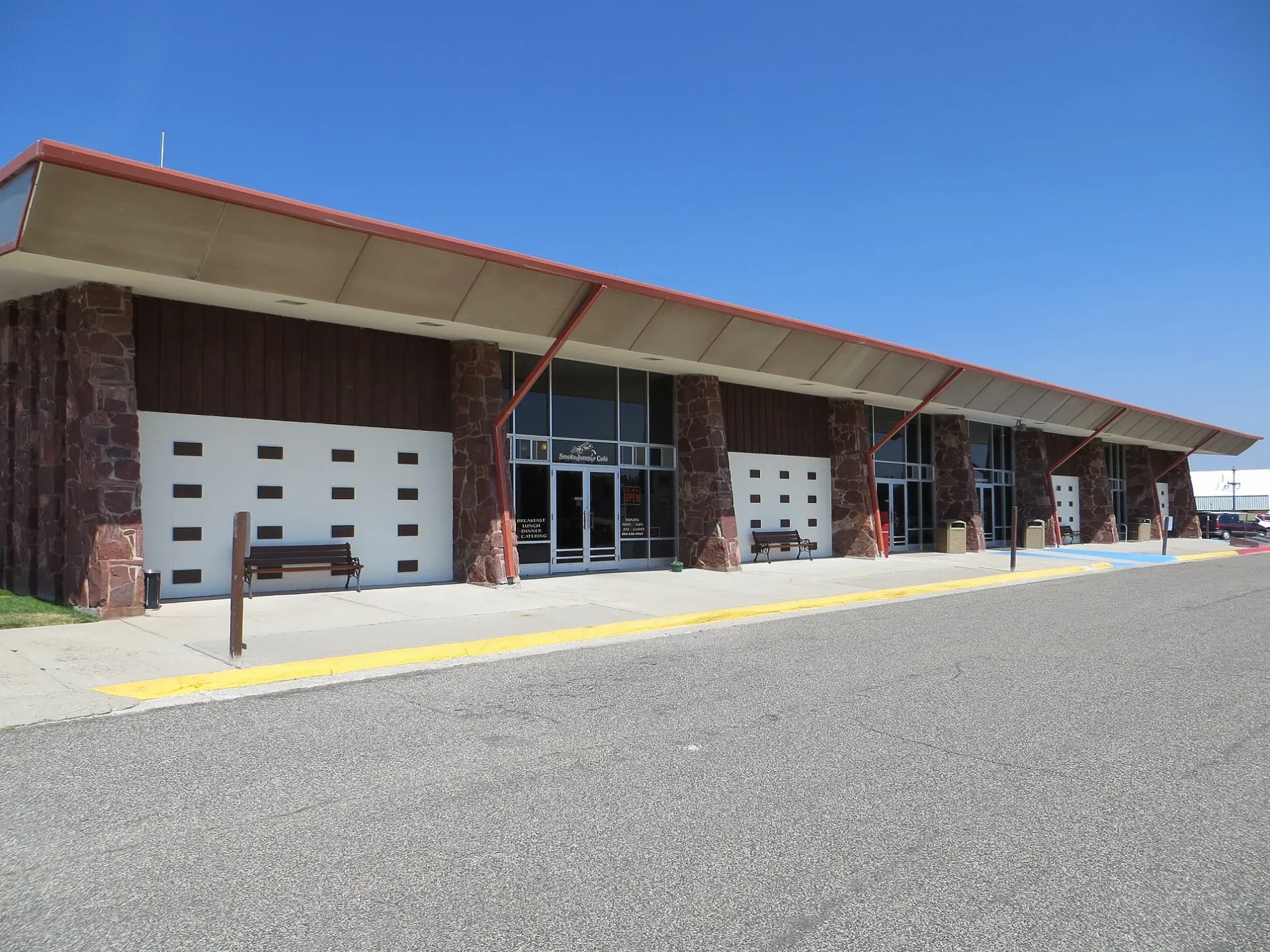
Yellowstone Airport in West Yellowstone, MT 59758
Yellowstone Airport in West Yellowstone, MT 59758 (Gallatin County) is an airfield (IATA: WYS, ICAO: KWYS). Yellowstone Airport is also known as WYS. Ⓦ.
- Operator
- State of Montana
Streets nearby
Fire Center Lane150 ft
Smoke Eaters Lane0.2 mi
Jump Base Loop0.4 mi
Airport Road0.6 mi
Concourse Loop0.7 mi
Jeep TrailCorbly Gulch Trailhead
0.8 mi
Tag Cove1.0 mi
Fs 291T1.0 mi
Conservation Lane1.1 mi
AccessSubway
1.2 mi
Fs 291A1.2 mi
Fs 17471.3 mi
Madison River Bridge1.4 mi
Down River Loop1.7 mi
Frost Street1.7 mi
North Hayden Street1.7 mi
Elk Place1.7 mi
Bechler Avenue1.7 mi
Gallatin Avenue1.7 mi
Moonrise Way1.8 mi
Lamar Avenue1.8 mi
North Electric Street1.8 mi
Cascade Avenue1.8 mi
Grayling Avenue1.8 mi
Shoshone Avenue1.8 mi
Boneyard Loop1.9 mi
Nez Perce Avenue1.9 mi
Campanula Avenue1.9 mi
Grouse Court1.9 mi
Lewis Avenue1.9 mi
Ecology Lane2.0 mi
North Lodgepole Drive2.0 mi
De Lacy Avenue2.0 mi
Gneiss Court2.0 mi
North Forest Service Loop2.0 mi
North Sylvan Circle2.0 mi
South Lodgepole Drive2.1 mi
Washburn Avenue2.1 mi
Campgrounds nearby
Baker's Hole0.7 mi
Fire stations nearby
USFS Smokejumper Base WYS500 ft
Parks nearby
Pie Park1.9 mi
Linear Park2.0 mi
Hayden Street Woods2.0 mi
Places of worship nearby
Community Protestant Church1.9 mi
Church of Christ2.1 mi
Ranger stations nearby
Hebgen Lake2.1 mi
Residential areas nearby
Madison Apartments2.0 mi
Rivers nearby
Madison River1.4 mi
Other nearby
Jump Base Apron400 ft
| Elevation | 2027 m |
|---|---|
| Located in | Montana |
| Country | United States |
| Website | https://yellowstoneairport.mdt.mt.gov/ |
Public transit map Gallatin County Legend
| Railway | |
| Bus | |
| Streetcar |
Bicycle map Gallatin County Legend
| Bike path | |
| Bike lane on roadway | |
| Cycling allowed on bus lane | |
| Bicycle street | |
| Open to cyclists | |
| Open to cyclists, good path | |
| Cycling prohibited | |
| Cobblestone |
| Long-distance bike route | (depending on scale) | |
| Long-distance bike route |
Pedestrian map Gallatin County Legend
| Path |
| Long-distance hiking trail | (depending on scale) | |
| Long-distance hiking trail | ||
| Pedestrians prohibited |