
Dearborn River High Bridge in Augusta, MT 59410
Dearborn River High Bridge in Augusta, MT 59410 (Lewis and Clark County) is a historic object. It runs in a southeast-northwest direction and ends in a cul-de-sac. Dearborn River High Bridge is located near Flat Creek Road. Ⓦ.
- Road Type
- local road
- Lanes
- 1
- Speed Limit
- 15 mph
- Route
- southeast-northwest
Image
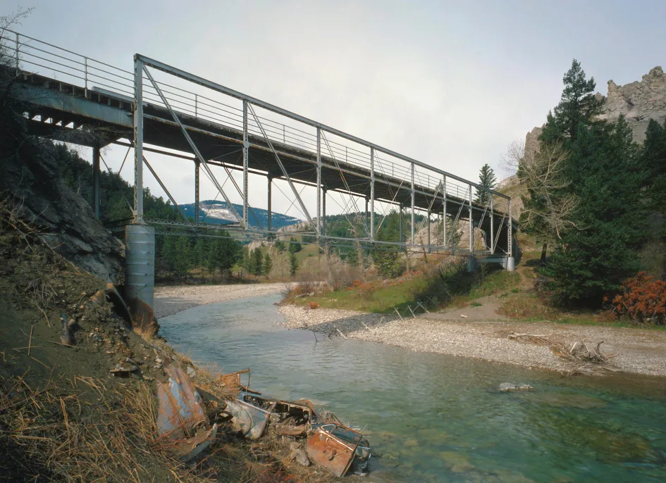
Streets nearby
Flat Creek RoadFlat Creek Church
2.7 mi
Johannes Hill Road3.4 mi
Dearborn Road4.2 mi
Diamond Bar X Road4.2 mi
Falls Creek Road4.3 mi
Lodge Road4.3 mi
Chisolm-Barret Road4.9 mi
Dearborn Canyon Road5.0 mi
Double Creek Road5.4 mi
Hay Coulee Road5.7 mi
C Bar North Road5.7 mi
Black Rock Road5.8 mi
Dams nearby
Soap Creek Dam5.1 mi
Military areas nearby
Launch Facility G-082.7 mi
Rivers nearby
Dearborn RiverDevils Glen
3.0 mi
Waters nearby
Bean Lake2.2 mi
| Year built | 1897 |
|---|---|
| Height | 30.5 m |
| Length | 77 m |
| Heritage designation | National Register of Historic Places listed place |
| Located in | Lewis and Clark County |
| Country | United States |
| Crosses | Dearborn River |
| Part of | Dearborn River |
 Public transit map Lewis and Clark County Legend
| Railway | |
| Bus | |
| Streetcar |
 Bicycle map Lewis and Clark County Legend
| Bike path | |
| Bike lane on roadway | |
| Cycling allowed on bus lane | |
| Bicycle street | |
| Open to cyclists | |
| Open to cyclists, good path | |
| Cycling prohibited | |
| Cobblestone |
| Long-distance bike route | (depending on scale) | |
| Long-distance bike route |
 Pedestrian map Lewis and Clark County Legend
| Path |
| Long-distance hiking trail | (depending on scale) | |
| Long-distance hiking trail | ||
| Pedestrians prohibited |