
City Service Road in Libby, Montana
City Service Road in Libby is a two-lane unclassified road. It runs in an east-west direction and crosses North Colorado Avenue and California Avenue and ends at Thomas Street, while the other end is a cul-de-sac.
- Road Type
- unclassified road
- Lanes
- 2
- Speed Limit
- 10 mph
- Route
- east-west
Image
Beauty salons
Casinos
Campgrounds
Laundries
Cafes
Clothing stores
Police stations
Places of worship
Hair salons
Clinics
Restaurants
Dentist offices
Cell phone stores
Liquor stores
Hardware stores
Jewelry stores
Streets nearby
North Colorado Avenue0.1 mi
West 2nd Street0.2 mi
California AvenueDorio's, Flash56
0.2 mi
Mineral Avenue0.2 mi
Thomas Street0.2 mi
East 1st StreetLibby
0.2 mi
West 3rd Street0.3 mi
East 2nd Street0.3 mi
Shops nearby
Cardinal Building Center0.3 mi
Everything RV0.4 mi
Auto repair shops nearby
Western Home & Auto Glass0.2 mi
Tony's Muffler & Tire0.3 mi
Classic Auto Body0.3 mi
Bars nearby
The Mint0.2 mi
Pastime Bar and Lounge0.3 mi
Buildings nearby
David Thompson Search and Rescue150 ft
Edward Jones0.3 mi
Kootenai Surveyors0.3 mi
Western News0.3 mi
Cabinet Peaks Rehabilitative Services0.4 mi
Libby Volunteer Ambulance0.4 mi
Cafes nearby
Camp Creek Coffee Roasters0.3 mi
Clinics nearby
Libby Clinic0.4 mi
Center for Asbestos Related Disease0.4 mi
Commercial buildings nearby
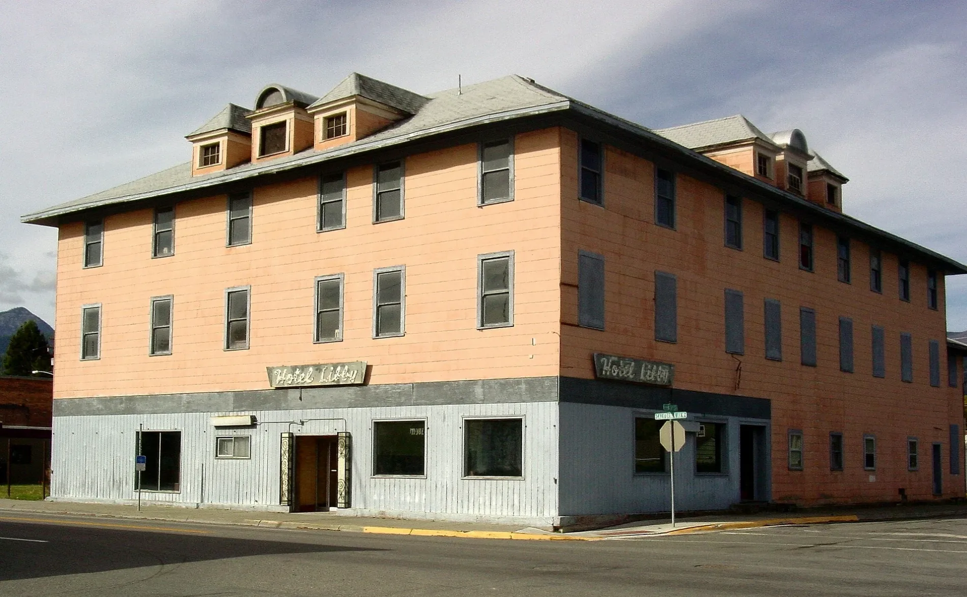
Hotel Libby0.3 mi
Community centers nearby
Veterans of Foreign Wars Harper Erdman Post 15480.2 mi
Senior Citizens Center0.4 mi
Computer stores nearby
Alpha Computers & Cellular0.3 mi
Copy shops nearby
Copy This Send That0.4 mi
Dentist's offices nearby
Steve Davidson DDS0.2 mi
Sterling Dental0.4 mi
Frame shops nearby
Frames Unlimited0.3 mi
Gift shops nearby
The Keep0.2 mi
Hair salons nearby
Shear D-Zine Salon0.3 mi
Hardware stores nearby
Cardinal Hardware0.3 mi
Health food stores nearby
Naturally Good Things0.3 mi
Laundries nearby
The Dirty Rooster0.4 mi
Medical supply stores nearby
Lincare0.3 mi
Parks nearby
Riverfront Park0.1 mi
Mineral Park0.2 mi
Pubs nearby
Cabinet Mountain Brewing Co.0.3 mi
Railways nearby
BNSF Kootenai River Subdivision0.3 mi
Restaurants nearby
Diane's0.2 mi
Smoking Gun BBQ0.3 mi
Secondhand stores nearby
Park Side Thrift Store0.3 mi
Boutique Brielle0.3 mi
Stytches Consignment & Thrift0.3 mi
Shelters nearby
Fred Brown's Pavillion550 ft
Tobacco shops nearby
The Perfect Assh0.3 mi
Train stations nearby
Libby Station0.3 mi
 Public transit map Libby Legend
| Railway | |
| Bus | |
| Streetcar |
 Bicycle map Libby Legend
| Bike path | |
| Bike lane on roadway | |
| Cycling allowed on bus lane | |
| Bicycle street | |
| Open to cyclists | |
| Open to cyclists, good path | |
| Cycling prohibited | |
| Cobblestone |
| Long-distance bike route | (depending on scale) | |
| Long-distance bike route |
 Pedestrian map Libby Legend
| Path |
| Long-distance hiking trail | (depending on scale) | |
| Long-distance hiking trail | ||
| Pedestrians prohibited |