
East Oak Street in Libby, Montana
East Oak Street in Libby is a residential street. It runs in an east-west direction starting from West Oak Street and crosses Mineral Avenue and East Spruce Street and ends at Washington Avenue.
- Road Type
- residential street
- Route
- east-west
Image
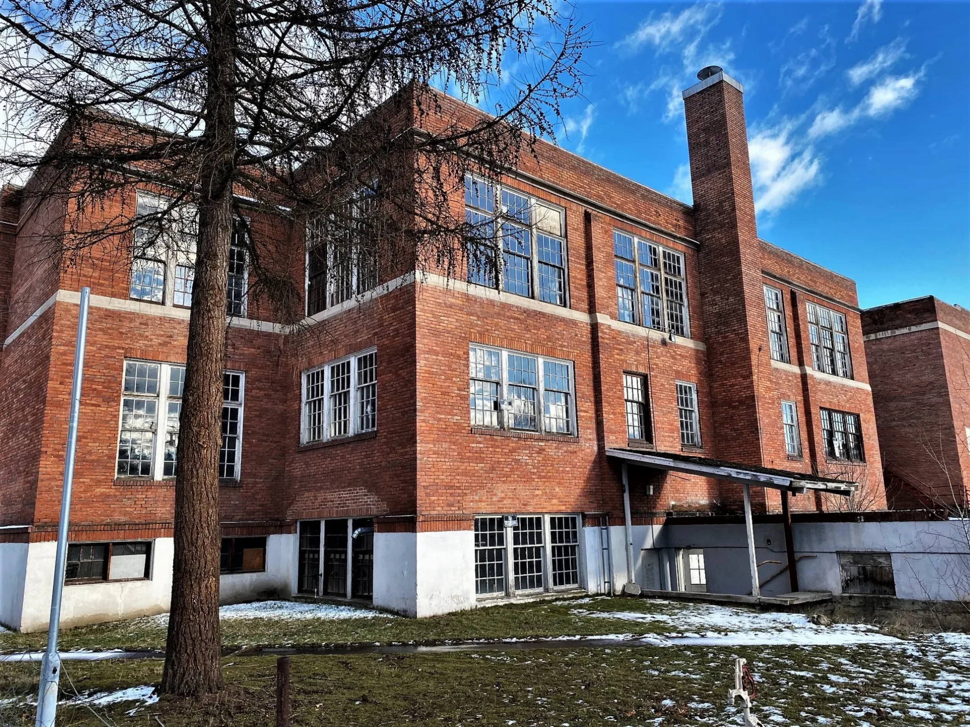
Dentist offices
Jewelry stores
Cafes
Clinics
Laundries
Hardware stores
Places of worship
Cell phone stores
Hair salons
Police stations
Beauty salons
Clothing stores
Casinos
Restaurants
Streets nearby
East Spruce Street200 ft
Washington Avenue500 ft
California AvenueDorio's, Flash56
0.1 mi
Mineral Avenue0.1 mi
West Spruce Street0.1 mi
East 10th StreetChurch of God
0.1 mi
Louisiana Avenue0.2 mi
West Oak Street0.2 mi
Montana AvenueSaint John Lutheran Church
0.2 mi
West 9th StreetLibby, Moody's
0.2 mi
West 10th Street0.2 mi
West Bush Street0.2 mi
West Larch StreetChrist Lutheran Church
0.2 mi
East Larch Street0.2 mi
East 9th StreetHav-A-Java Expresso To Go, Helen's Jewelry, Harold's Casino, Rustic Chic, Family Health and Wellness, Clear Cut Barber Shop
0.2 mi
Utah AvenueAssembly of God Church, Christian Church
0.2 mi
East Balsam Street0.2 mi
Airth Avenue0.3 mi
West Poplar Street0.3 mi
Dakota Avenue0.3 mi
East Poplar StreetLibby Baptist Church, Saint Lukes Episcopal Church
0.3 mi
West Cedar Street0.3 mi
East Cedar Street0.4 mi
Pine Court0.4 mi
East Maple Street0.4 mi
Apartment buildings nearby
Grainte Studio Apartments0.1 mi
Artworks nearby
City of Eagles0.2 mi
Banks nearby
Kootenai Valley Federal Credit Union0.3 mi
Buildings nearby
Century 210.2 mi
Mountain Rose Counseling0.3 mi
Cafes nearby
7 Seeds Coffee0.2 mi
Casinos nearby
Luck Lil's0.2 mi
Gold Pan Casino0.3 mi
Maggie's Casino0.3 mi
Clothing stores nearby
Mountain Meadows Country Gift0.4 mi
Convenience stores nearby
Libby Quik Stop0.2 mi
Fast food restaurants nearby
Burger Express0.1 mi
Subway0.2 mi
McDonald's0.2 mi
Gas stations nearby
Cenex0.2 mi
Gift shops nearby
Evergreen Motel Gift Shop0.2 mi
Liquor stores nearby
High Spirits Liquor Store0.2 mi
Motels nearby
Evergreen Motel Extension Rooms0.1 mi
Evergreen Motel0.2 mi
Parks nearby
Pioneer Park0.4 mi
Restaurants nearby
Pizza Hut0.2 mi
Rositas Mexican Food0.2 mi
Kaiju Bar & Grill0.2 mi
Tobacco shops nearby
Pop's Vapor Shop0.1 mi
Public transit map Libby Legend
| Railway | |
| Bus | |
| Streetcar |
Bicycle map Libby Legend
| Bike path | |
| Bike lane on roadway | |
| Cycling allowed on bus lane | |
| Bicycle street | |
| Open to cyclists | |
| Open to cyclists, good path | |
| Cycling prohibited | |
| Cobblestone |
| Long-distance bike route | (depending on scale) | |
| Long-distance bike route |
Pedestrian map Libby Legend
| Path |
| Long-distance hiking trail | (depending on scale) | |
| Long-distance hiking trail | ||
| Pedestrians prohibited |